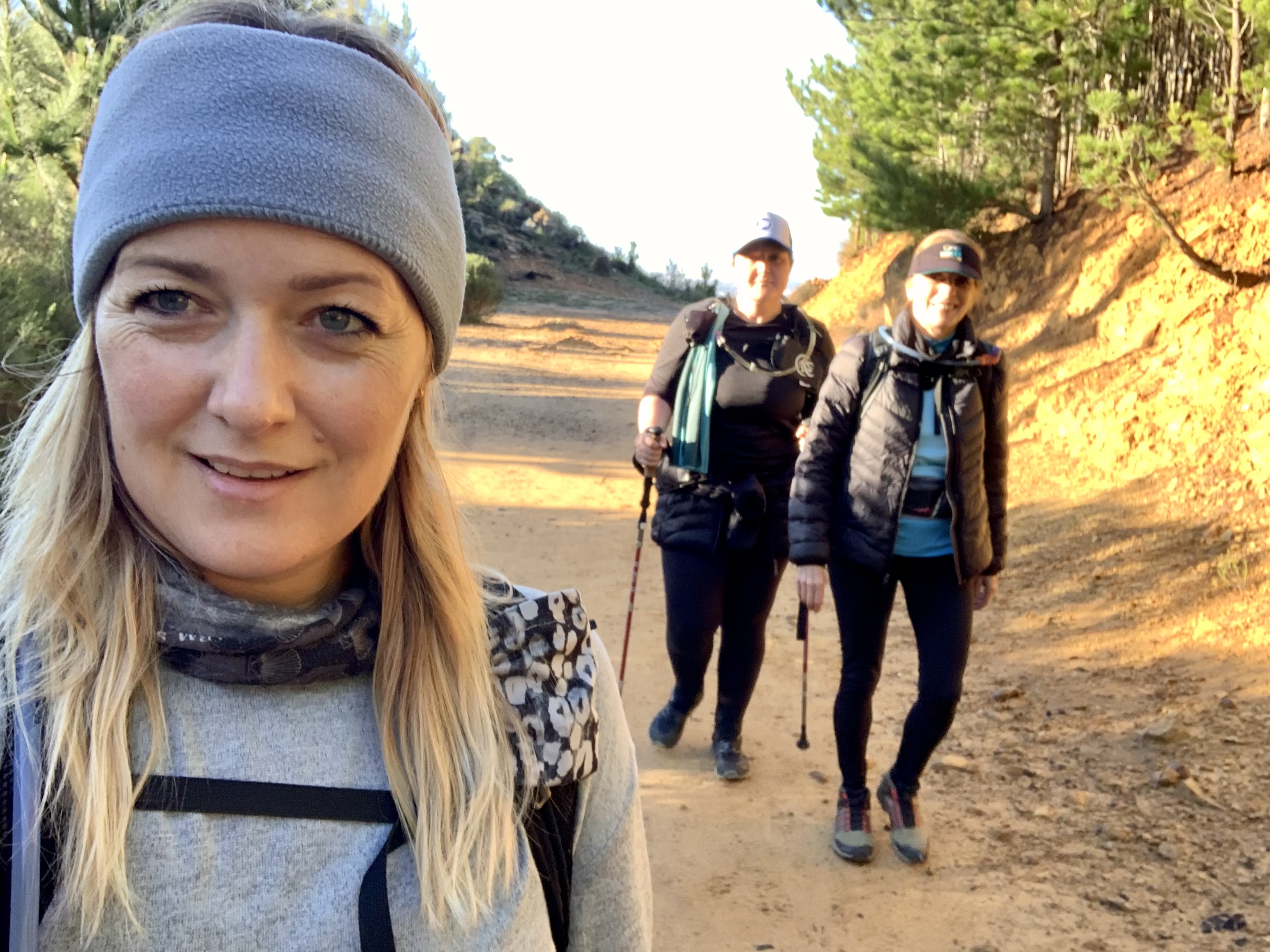
I decided to skip out on Bootcamp and rather hit the mountain with my sister and my aunt while the weather is good. Our winters are WET! But we’ve had a window of sunshine and warmth to take advantage of.

We set out from Constantia Nek carpark. It’s always crazy busy on this side of the Table Mountain range. There are many route options from this starting point which means you can come back over and over again and always do a different route.
The initial path is a jeep track which follows the contour along the side of the forested lower slope of the mountain. The track is wide but has gotten quite stoney from the erosion of the winter rains.
After about 3 kilometres we spotted a smaller track to our left heading slightly up the slope towards the Cecelia stream that flows down the side of Table Mountain and the side of Cecelia ridge, down towards Cecelia forest.
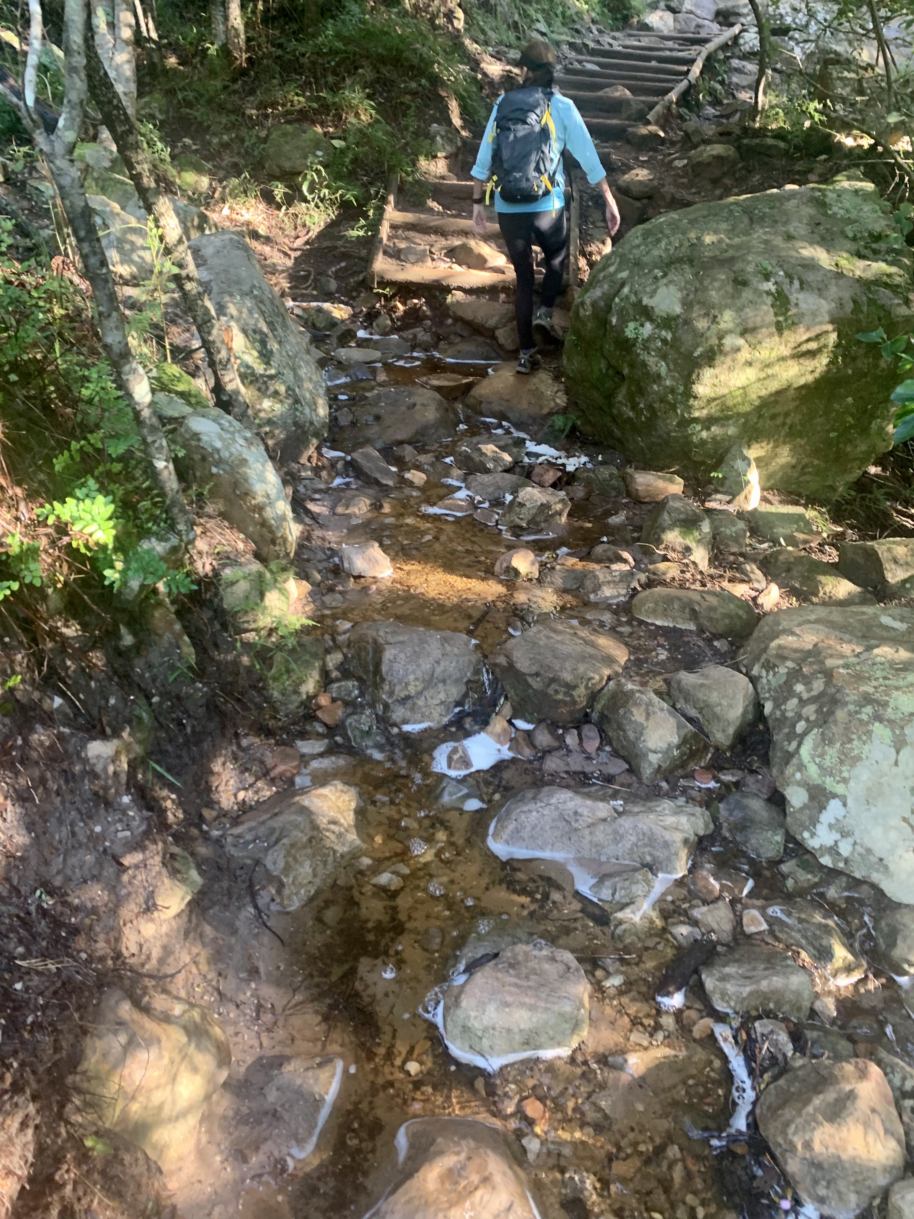
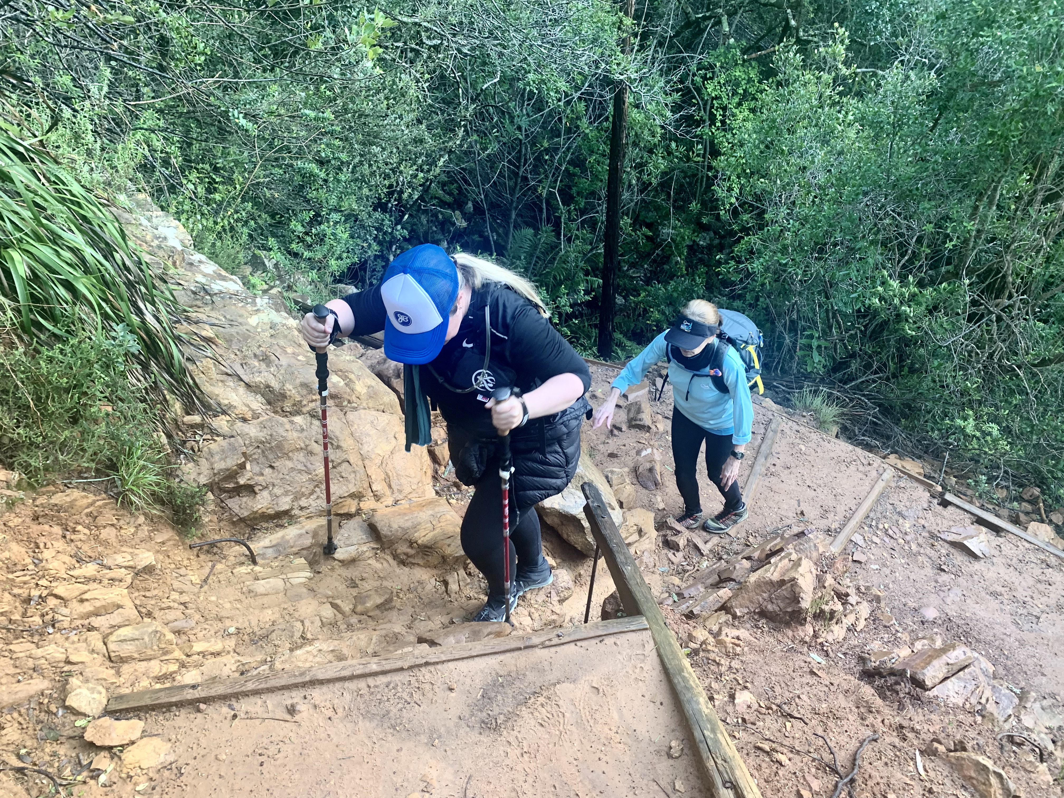
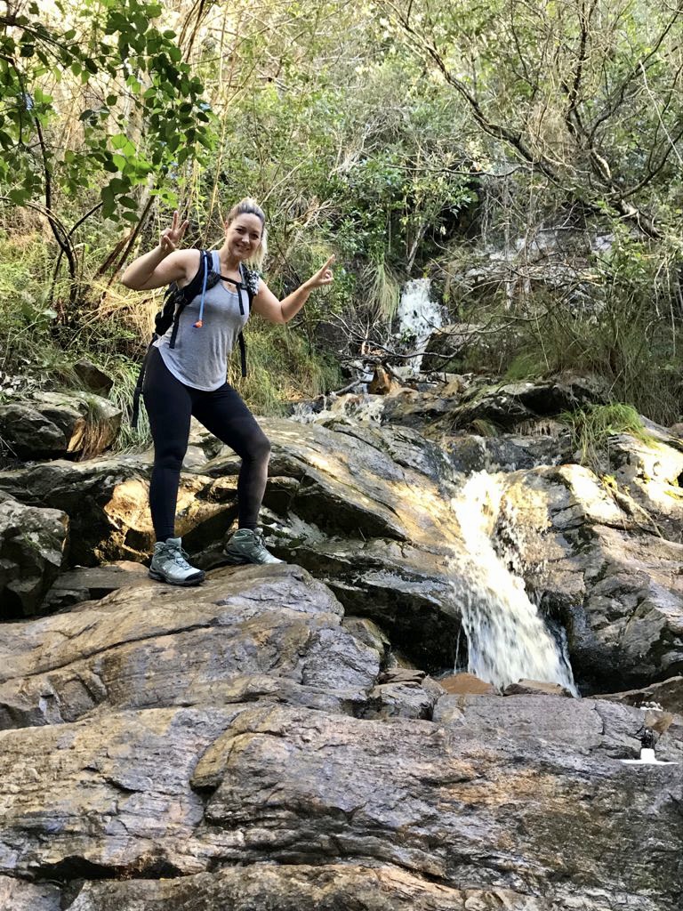
After a zigzag up some steeper steps we had our first stream crossing, climbed a short steep scramble and then crossed another rocky stream. The waterfalls added a level of fun to the hike that otherwise would have been HOT and SWEATY!!!
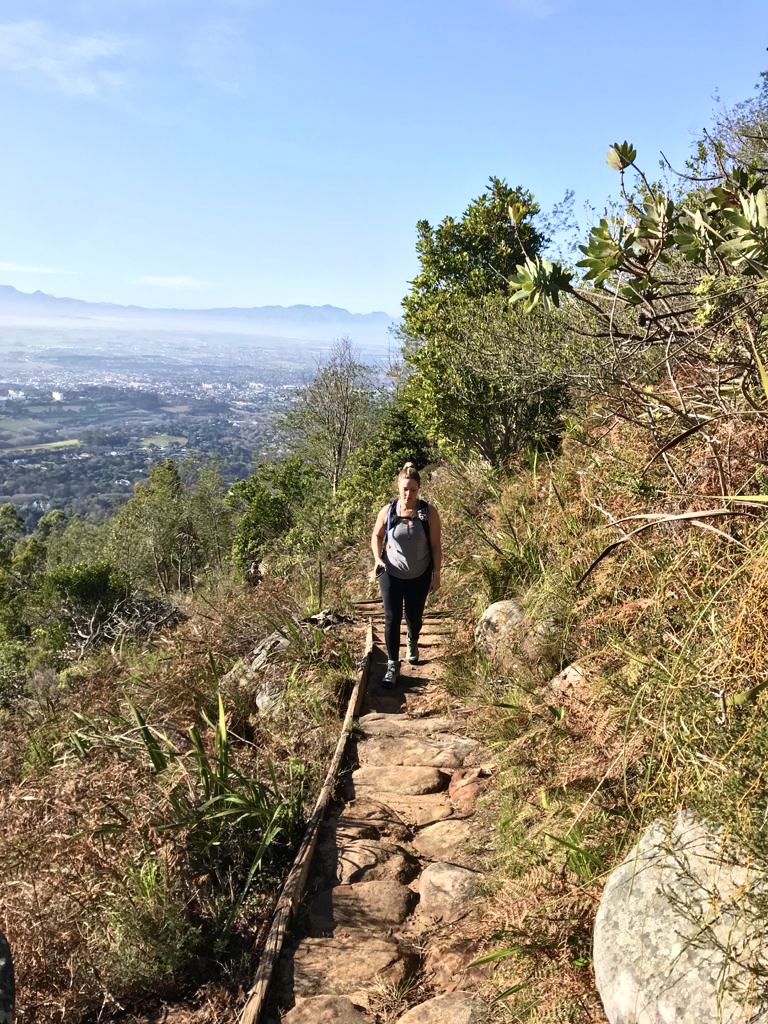
The next section was more exposed as we were now higher on the slopes and back out in the sunshine on the dirt single track with large wooden steps.
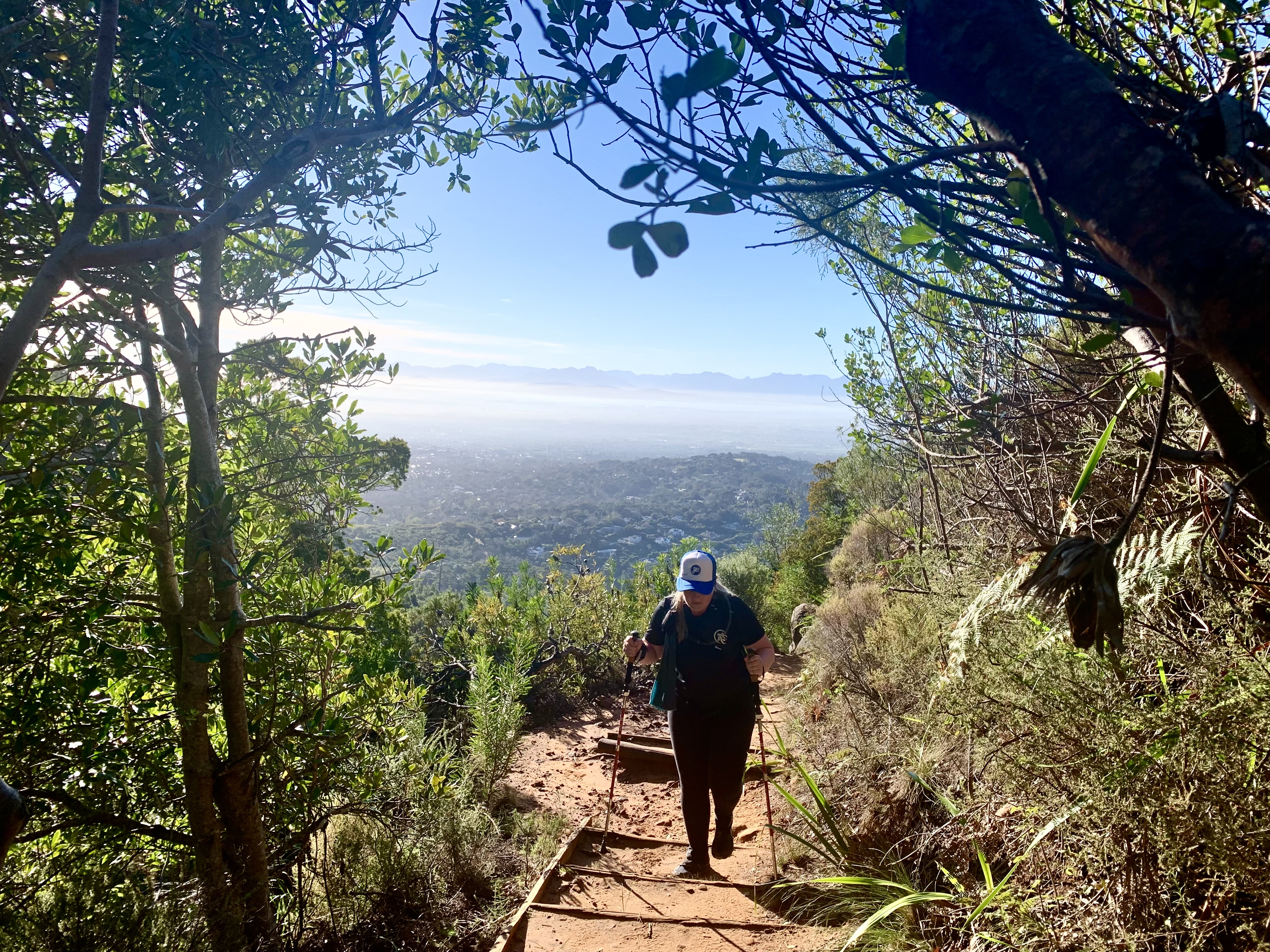
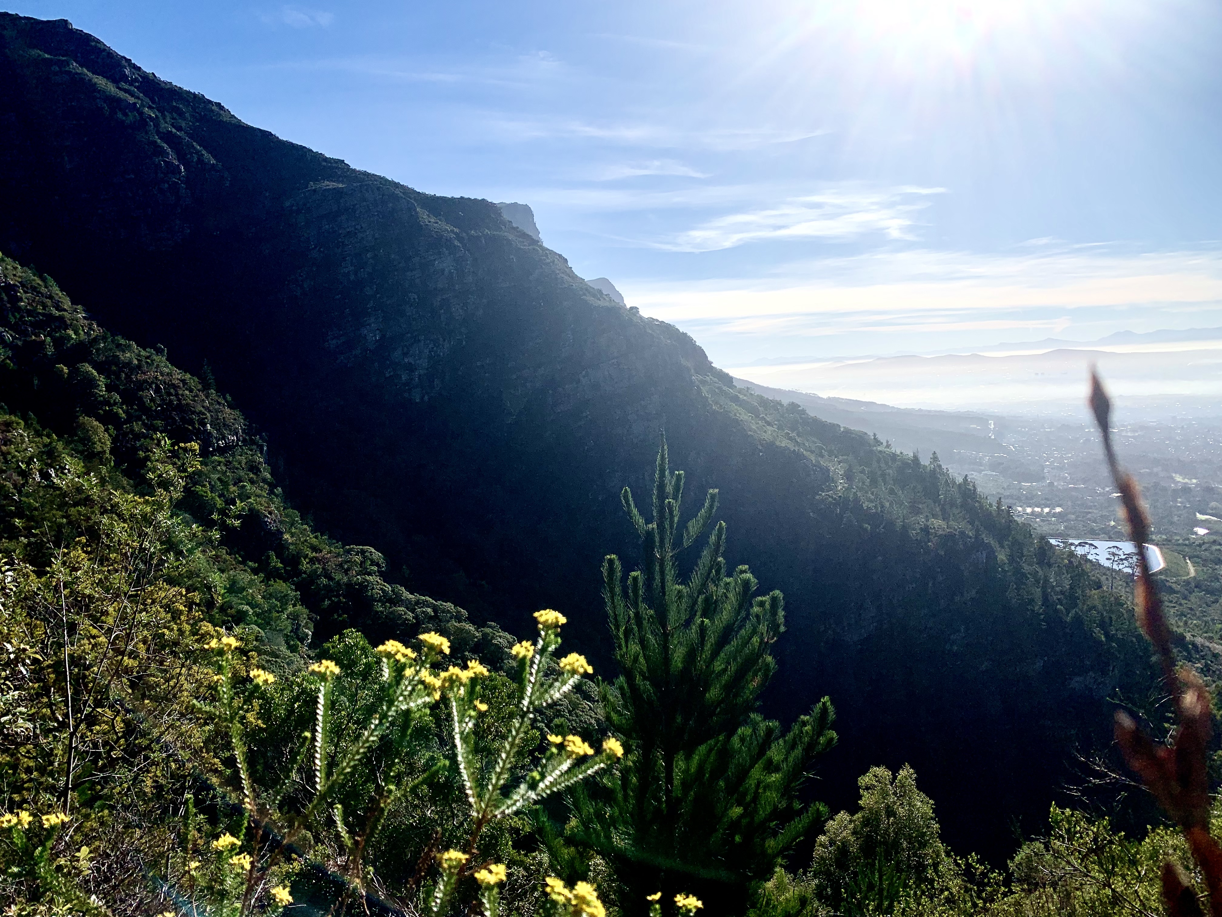
The views from here were stunning. The peaks looked majestic and foreboding above us. And the suburbs of Cape Town lie spread out below us.
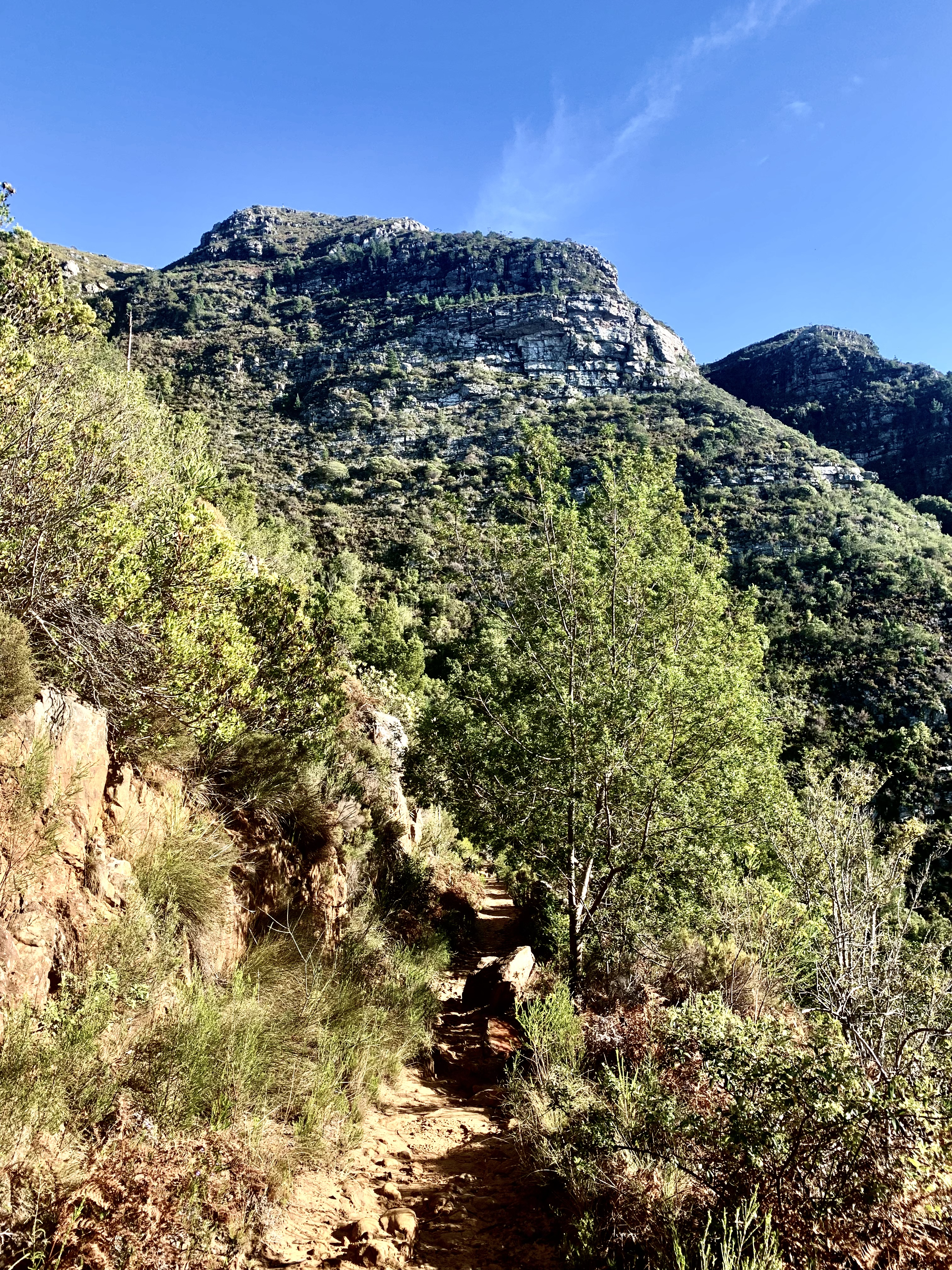
The next and last ascent was brutal as the path cut straight up the mountain side with some seriously steep steps that were more like ladders.
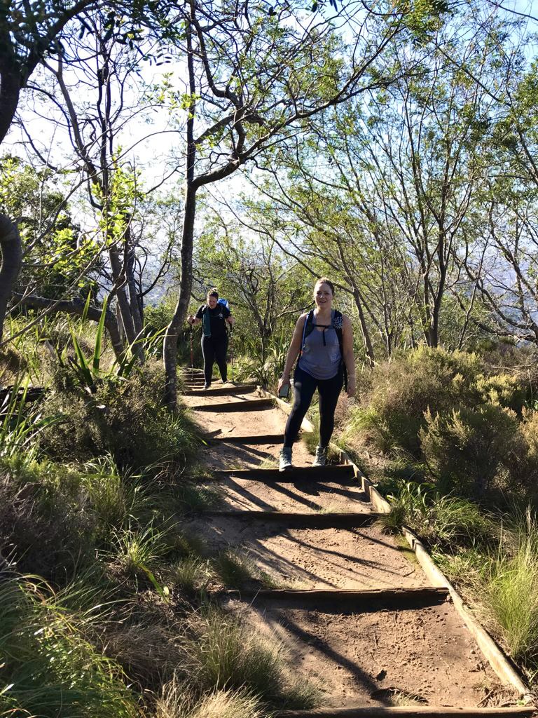
We’re sweating buckets by this stage but the determination in all of us drove us up the 100 steps to the top of this section. My aunt kept telling Jade that we’re almost at the top!
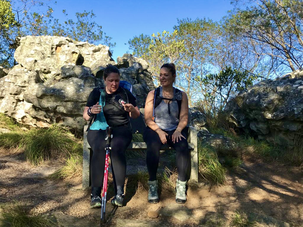
Luckily the reward of the steps was shade and a wonderful cold granite bench at the top. We took a gap to get our heart rates down and rehydrate. As much we we LOVED sitting for a moment, we also wanted a coffee and the Black Box Coffee truck was sitting at the bottom of the hill.
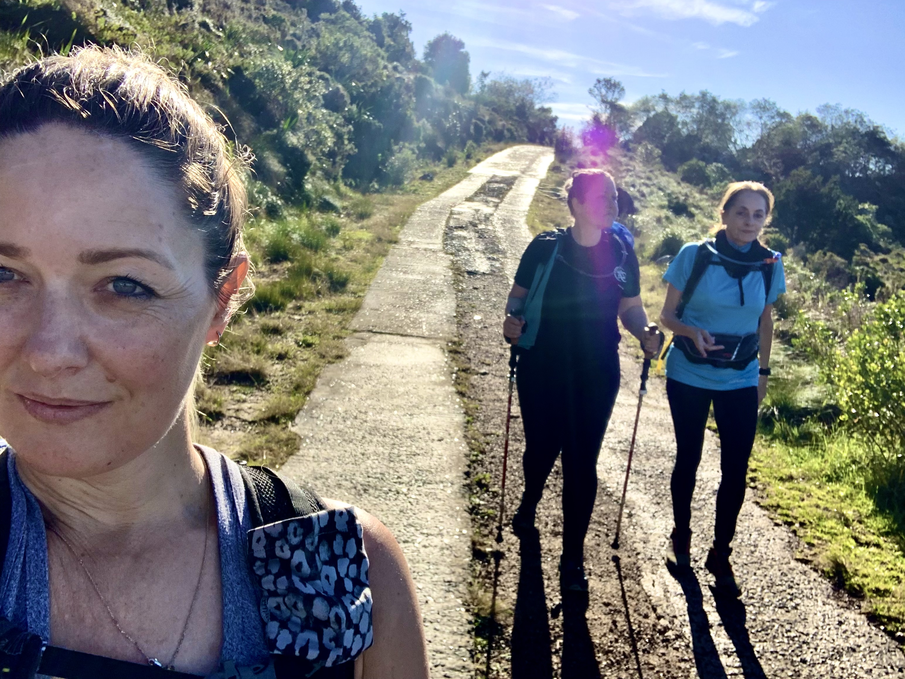
The single track joined up to the mountain jeep track that the rangers use to access the huts up top. So we decided to take the easier route down and followed the jeep track down at an easy pace. A light breeze from the valley below cooled us. But it was about to get exciting!!!
Meet the Tokai baboon troop!
Our cruising down the hill was suddenly brought to a dead holt as we spotted the troop of Baboons ahead. They’re the local troop that roam the Constantia and Tokai mountains.
It was wonderful to get to see them foraging up close and spot the tiny baby jump in it’s mother back as she stomped up the hill passed us.
The ranger was keeping an eye on them making sure they didn’t get up to any mischief or get any trouble from folk walking their dogs. The baboons seemed to respond well to the rangers clicks and calls and the moved off the path and onto the greener slope above.
By now we were only about 1 kilometre from the bottom and our coffee!!! Hallelujah!!!
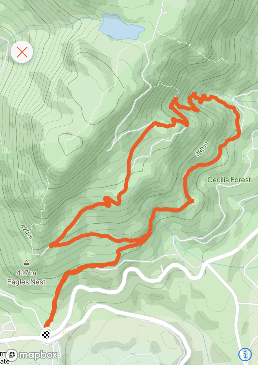
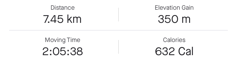
Here’s a map of our route
We started at the bottom left and worked our way anti-clockwise around the circular route.
We are very blessed to get to experience the wonders of nature on a very regular basis and I never take it for granted, actually I think I’m addicted to being on the mountains and exploring.
See you on the next hike VERY….. VERY….. SOON!!!

Hermosas fotografías 😊
Congratulations, your post has been added to Pinmapple! 🎉🥳🍍
Did you know you have your own profile map?
And every post has their own map too!
Want to have your post on the map too?
Wow, what a nice environment. I can't even **imagine **when I may be seeing myself in such a nice and colorful environment because all my life I have not even visited a low place not to talk about a bigger one like this. You are such lucky in life my dear because am jealous of you already because I have never catch fun in my entire life before. I pray one day the door of happiness will be open for me. Thanks a lot for the good work you have just impacted my life.
Oh that’s very sweet! It takes planning and setting time aside. But we are very lucky to live so close to the mountains. It’s only a 30 minute drive to this mountain and we have other hikes closer to home as well. I’m sure if you are really determined you could make it happen. There must be local hiking groups where you are from and most have a Facebook page to help communicate and plan hikes. Give it a try!!!
Big thanks to you. Lovely words.
Hiya, @LivingUKTaiwan here, just swinging by to let you know that this post made it into our Honorable Mentions in Daily Travel Digest #1280.
Your post has been manually curated by the @pinmapple team. If you like what we're doing, please drop by to check out all the rest of today's great posts and consider supporting other authors like yourself and us so we can keep the project going!
Become part of our travel community: