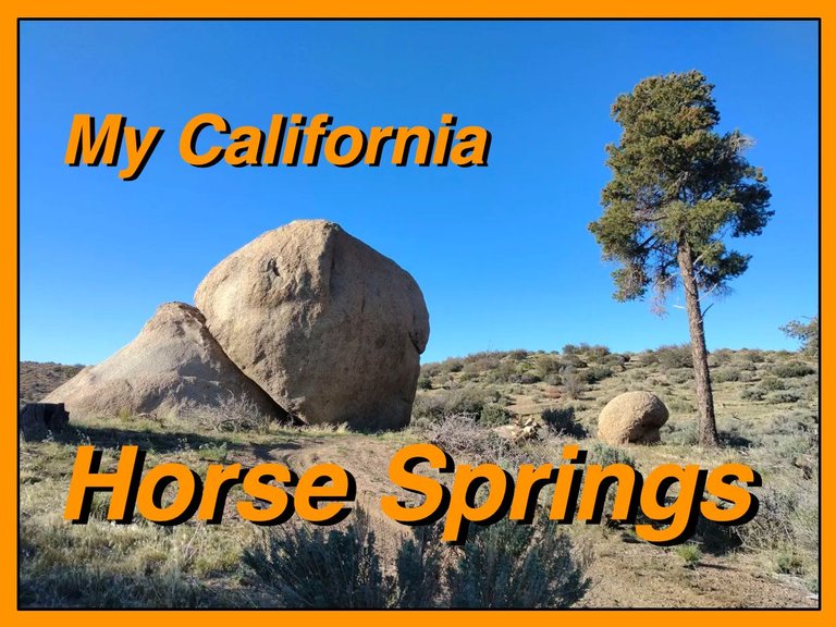
For this weeks Show Us Your California contest by @thesocalhive I headed up into the San Bernardino mountains for a fun camping trip at...
Horse Springs!!

About 15 years ago I decided to drive the Coxey truck trail(3n14) all the way through from Apple Valley up to Big Bear. Back then the road was really well maintained and believe it or not I did the whole trip in a 2wd Oldsmobile including several side excursions along the way. One of those side trips took me out route 4n16 to check out the Horse Springs campground. And after checking it out I knew I wanted to come back someday to camp there. And while it took me 15 years, I finally made it!!
When I was doing some research before the trip I saw that there was a more direct route to get there. Going up Grapevine canyon on 4n16 the whole way. Everything I saw online made it seem pretty straightforward requiring only high clearance and not 4wd which my current 4Runner doesn't have. But once on it I almost immediately started hitting some obstacles. First of which was that 4n16 crossed some train tracks with no proper level crossing and without 4wd I was not going to attempt crossing and risk getting stuck on the tracks. Because obviously that could get real bad real quick. So with a little more research I found that there was a level crossing a couple miles to the west. So I headed west along the road paralleling the tracks and found the crossing. But then getting back to 4n16 on this side of the tracks took navigating a maze of dirt roads which included several obstacles that were pushing the limits of my 2wd comfort zone. But eventually I was able to make it back to 4n16 on the other side of the tracks. But at this point I was getting a little nervous and was really hoping to not run into any major and potentially impassable obstacles because I really did not want to have to go back through all the obstacles I had already faced. I headed up Grapevine canyon, and although I didn't see any grapevines, lol, the scenery was getting pretty awesome! And while the road was pretty rough and presented me more obstacles I was able to get through it all and eventually topped out above the canyon in an area known as Juniper flats. Once up top the road was much smoother and I didn't have any more obstacles, but in retrospect I would definitely recommend 4wd for anyone wanting to attempt the Grapevine canyon section of 4n16.
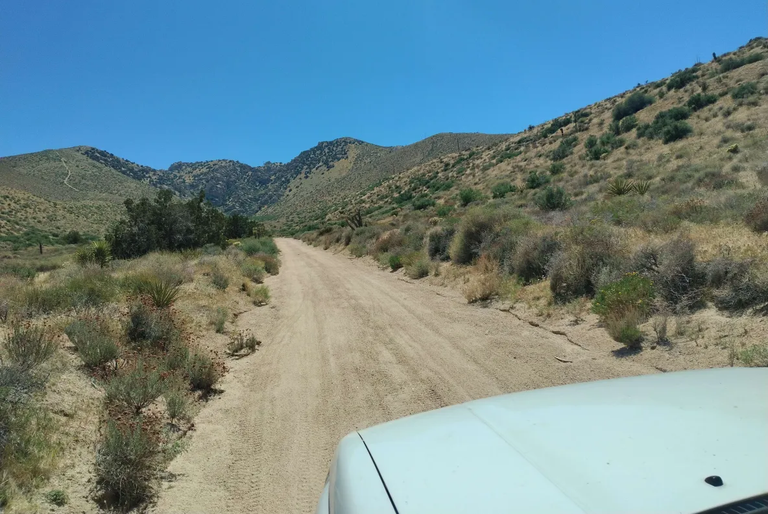
Finally heading up 4n16 on the far side of the tracks
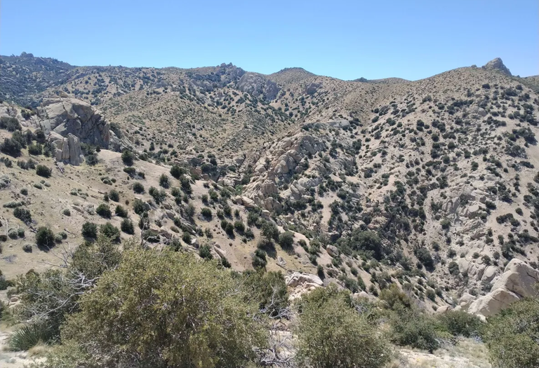
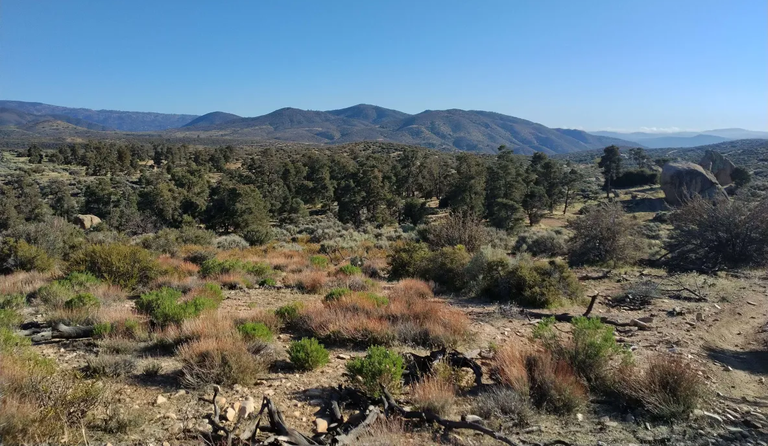
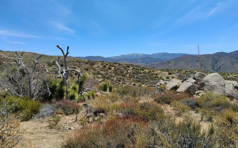
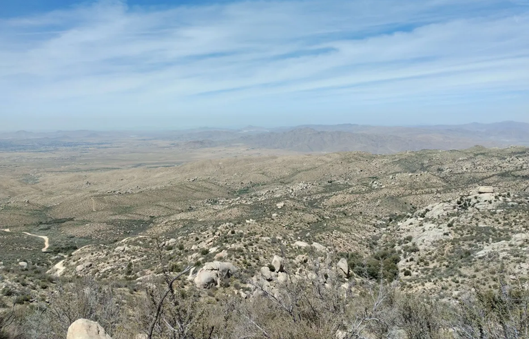
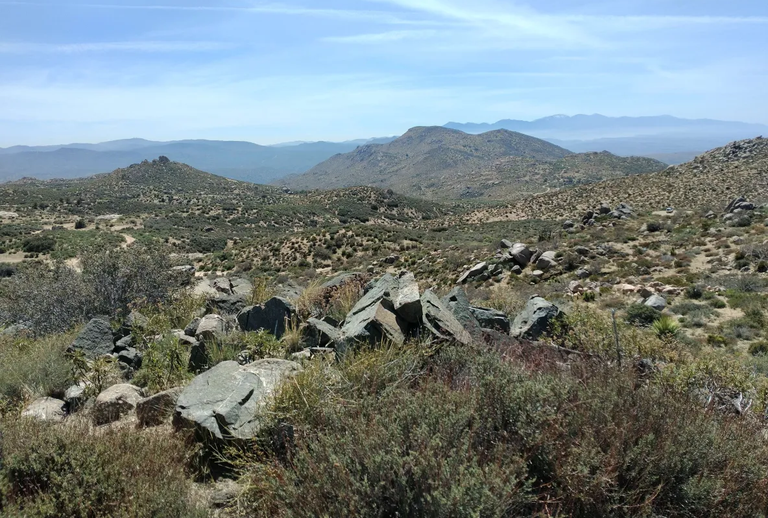
Views overlooking Grapevine canyon
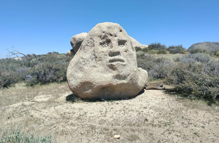
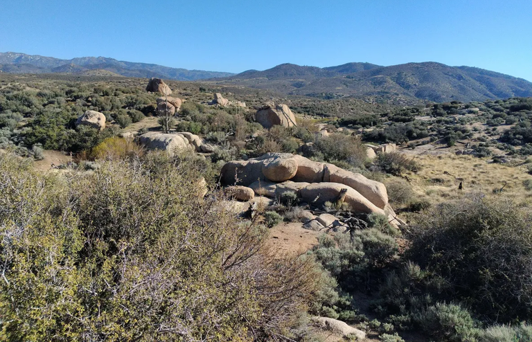
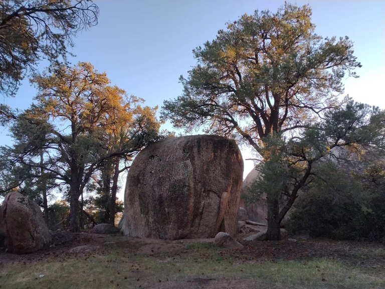
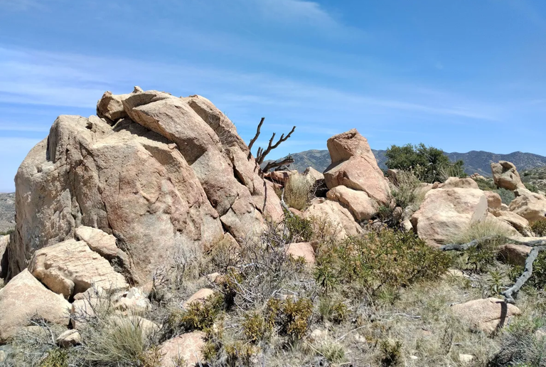
A cool rock with a face on it
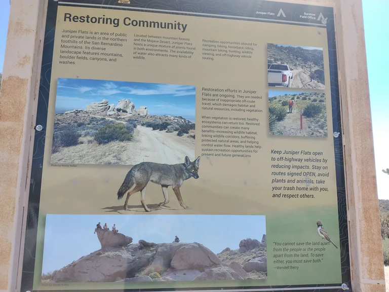
Sign about Juniper flats
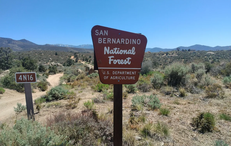
National Forest sign
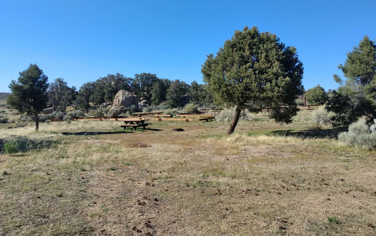
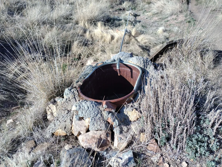
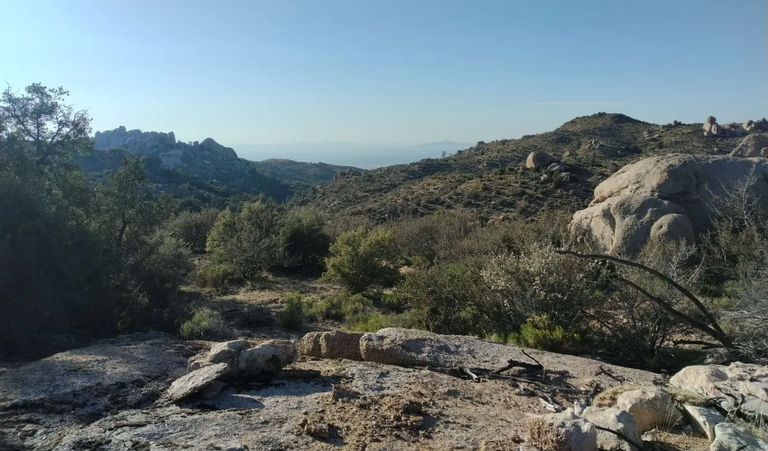
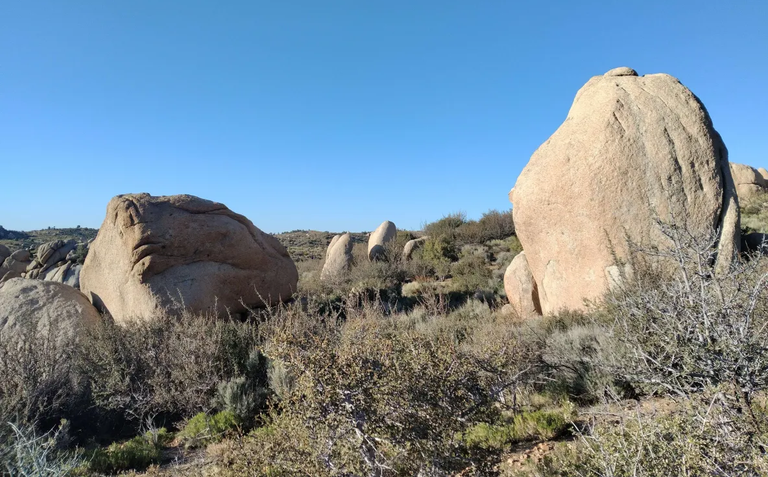
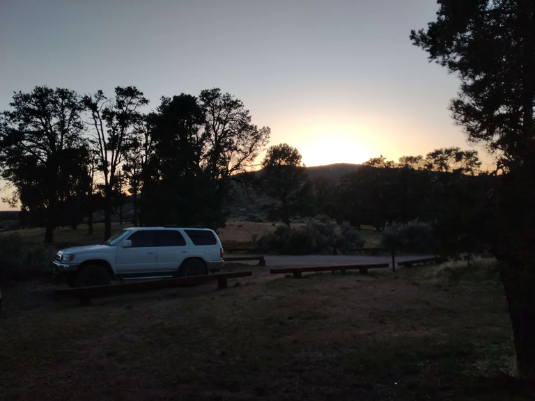
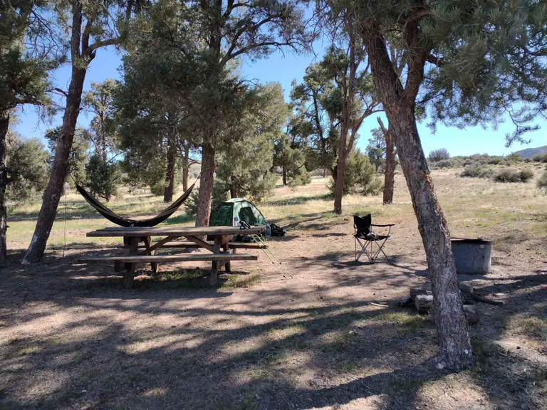
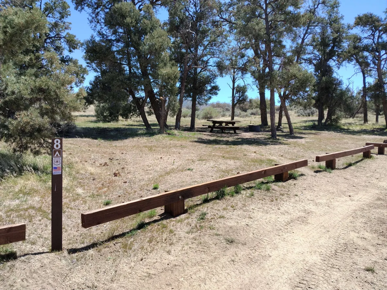
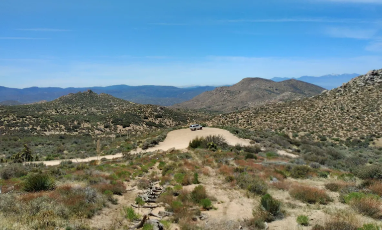
Once up on Juniper Flats it was pretty smooth sailing and it wasn't long before I reached the turnoff for Horse Springs. I got to the campground and headed around the loop checking out all 11 of the sites and ended up picking number 8. I had the place all to myself which wasn't really a surprise. It's way out kinda in the middle of nowhere and I don't think it's very well known. In fact when I was doing research before the trip I called the Big Bear ranger station to ask some questions and the ranger on the phone didn't even know about it and she had to ask some other rangers for the info. Once I picked a spot I got my camp all setup and then headed out to hike around and explore the area. The area is an interesting mix of mountain and desert, with both pinyon pines and junipers as well as sagebrush and yuccas. It also has a ton of neat rock formations. There are a lot of unmarked trails in this area so I had lots of options to explore. I started by heading west on a trail down to the little meadow where the actual springs is. It wasn't flowing but it was still cool to see. From there I caught a trail going north and followed it through the rock formations up and down over a few ridges. I was thinking maybe it would lead to the Balanced Rock mine, but unfortunately it stayed quite a bit west of the mine. But it did lead me to a pretty cool spot looking down Arrestre canyon. I hung out there for a bit enjoying the view and then headed back over to the campground. Once back I got the campfire going and made some dinner and enjoyed a nice peaceful evening.
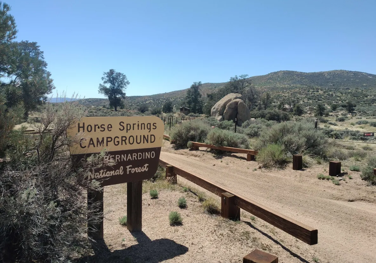
Arriving at the campground
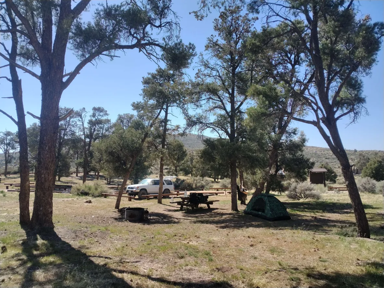
Campsite #8
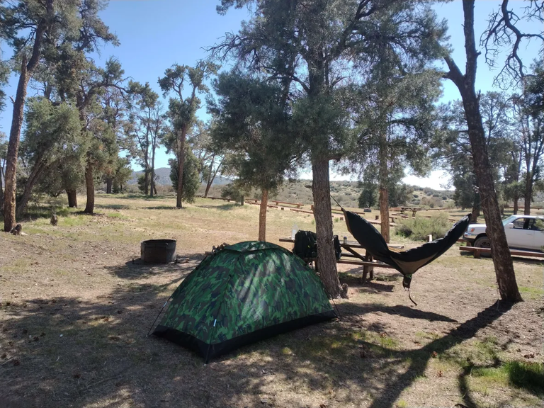
Another shot of camp
Campsite #10
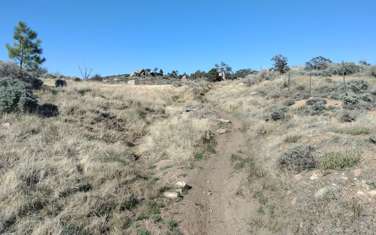
The trail to the springs
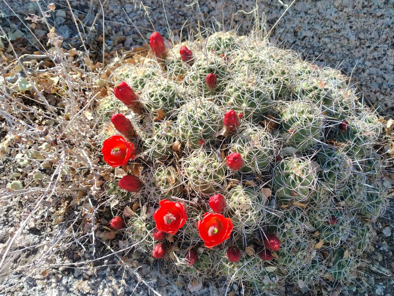
Blooming cacti
Views from the trail
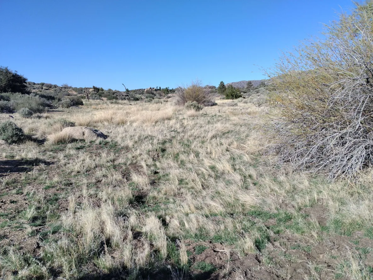
One of many small meadows
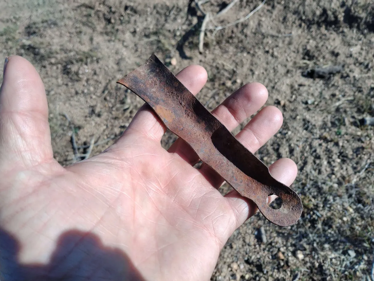
Finding an old artifact
Horse springs(dry)
Views from the trail
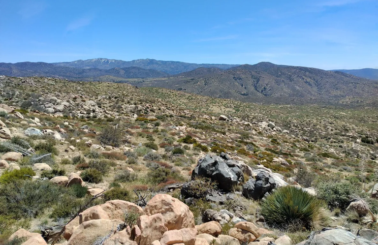
Looking down upper Arrestre canyon
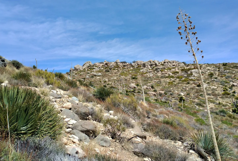
Rock formations
Heading back to camp
Rocks and Pinyon pines
Sunset
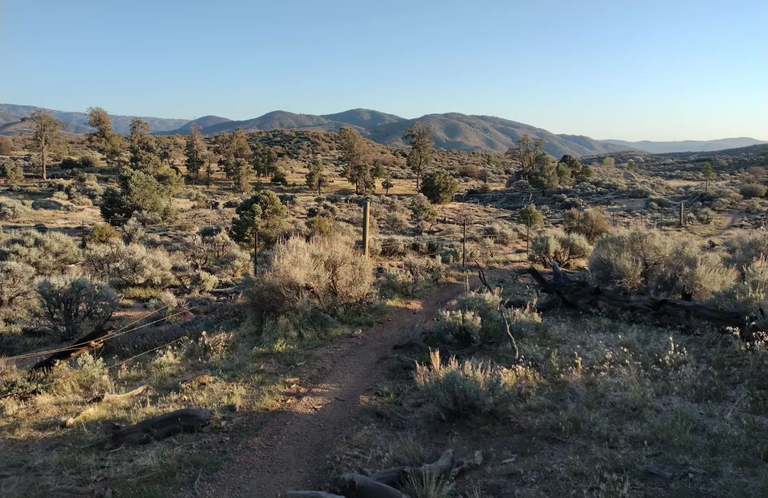
The next morning I woke up, had breakfast, and then just lounged around camp for awhile fully utilizing my hammock. After awhile I got everything packed up and headed out. I headed south on 4n16 until it met with the Coxey truck trail(3n14) that I had come in on 15 years ago. I headed west on 3n14 for a few miles and then stopped at the turnout where people park to climb Rattlesnake mountain(6,131'). There was a steep use trail for the first little bit, but fairly quickly it disappeared and the rest of the climb was cross country. While the climb was steep it was only about a mile or so and before I knew it I was sitting on top. It was a little windy on the top, but the awesome views made it well worth it. The western San Bernardino mountains to the south, the high desert to the north, and the San Gabriels towering far in the distance to the west. I hung out on the summit for awhile enjoying the views and eventually started back down the way I came. I got back to my truck and then continued heading out 3n14. From my experience from 15 years ago I didn't expect any difficulties along the road, but it seems that 3n14 is quite a bit rougher than it used to be and I did hit a few obstacles. One in particular I thought might have me stuck, but by putting it in neutral, getting out and pushing, and then quickly jumping back in as it started to go I was able to get through it with only some minor bumper grinding. All in all, unless there is some road work done, I would honestly recommend 4wd for both 4n16 and 3n14. Even though I made it with 2wd, and even though the obstacles definitely added to the adventure, if I had known how rough it was gonna be I probably wouldn't have done it. And so as much as I enjoyed Horse springs and would really love to go back sometime, I'm gonna have to wait until either they do some roadwork or I get a truck with 4wd.
Morning time at camp
All packed up and ready to leave site #8
Starting up Rattlesnake Mountain
Views on the climb
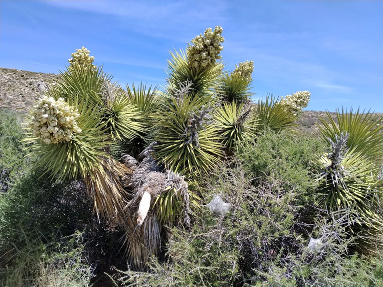
Blooming yuccas
Climbing towards the summit
Arriving at the summit
Views looking N from the summit
Views looking SE from the summit
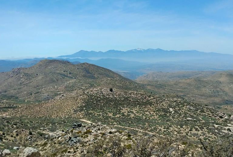
Views looking W from the summit
Heading back down
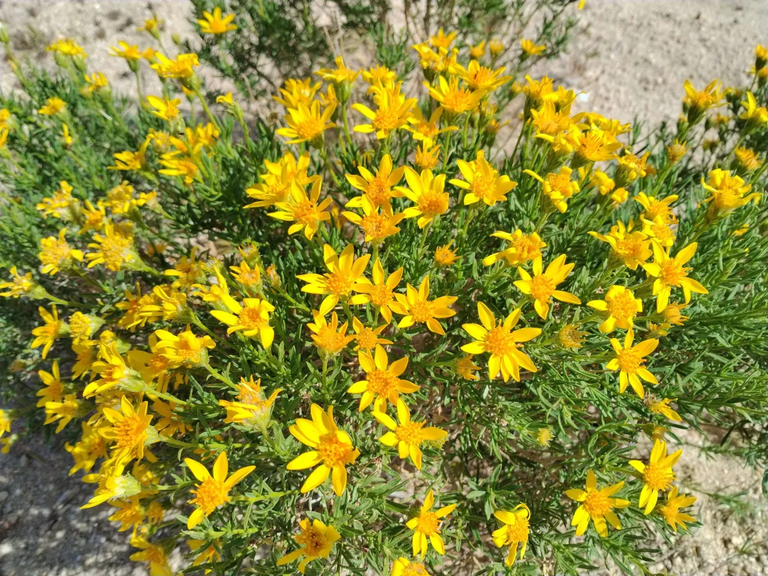
Some wildflowers on the way down
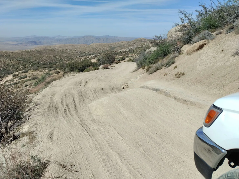
One of the obstacles along 3n14
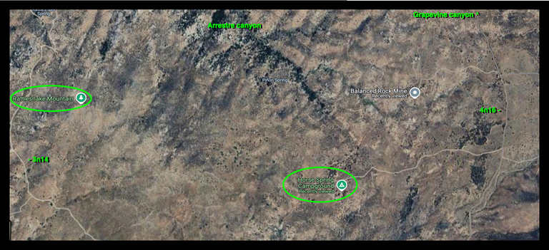
Horse Springs/Rattlesnake mountain area Map
And so until next time...
I hope you have enjoyed this glimpse into
My California!!

#SoCalHive is building and supporting the Hive Blockchain community in Southern California. If you are from SoCal and are into creating quality content here on Hive, we'd love for you to follow us @theSoCalHive and join our group on Discord


World Mappin
Looks like a great spot. Hard to believe you don't have 4wd the way you're always out in nature
I agree. When HIVE goes to 104,000 will buy him one.
So never then. 😆 🤣
What a gorgeous spot, I've never been in that far before. Then again most of my adventures have involved prospecting. That really is on the desert side, nice and dry. I'm surprised you made it without a 4WD, I usually won't try any of the remote stuff without one myself. You're braver than I am. Very cool place!
That was a long wait. Congratulations on finally getting there.
Hopefully your vehicle didn’t get beat up.
I’m not gonna lie when I saw the word springs in the title. I got excited. The city boy I me loves Glen Ivy Hot Springs.
Hiya, @ybanezkim26 here, just swinging by to let you know that this post made it into our Top 3 in Travel Digest #2564.
Your post has been manually curated by the @worldmappin team. If you like what we're doing, please drop by to check out all the rest of today's great posts and consider supporting other authors like yourself and us so we can keep the project going!
Become part of our travel community:
Sweet! Thank you.
You are very welcome @derekrichardson! it was well deserved. ☀️
Keep up the great work 💪
Fantastic views!!!
!BBH
!LADY
!LUV
@derekrichardson, @silversaver888(8/10) sent you LUV. | tools | discord | community | HiveWiki | <>< daily
Quite the adventure! Nerve racking obstacles but glad you made it in and out safely! Great photos as well!
You can check out this post and your own profile on the map. Be part of the Worldmappin Community and join our Discord Channel to get in touch with other travelers, ask questions or just be updated on our latest features.