I will continue with the description of my Wednesday tour.
See the first part here: https://peakd.com/hive-113634/@fairyberry/my-blue-trail-from-varoslod-to-nagyvazsony-part-one
It was easy and enjoyable so far, but time slipped away and I left an hour later than planned. This is due to the fact that the geo wonders of Úrkút fascinated me so much.
I decided to come back here in the autumn, when the leaves are in full color.
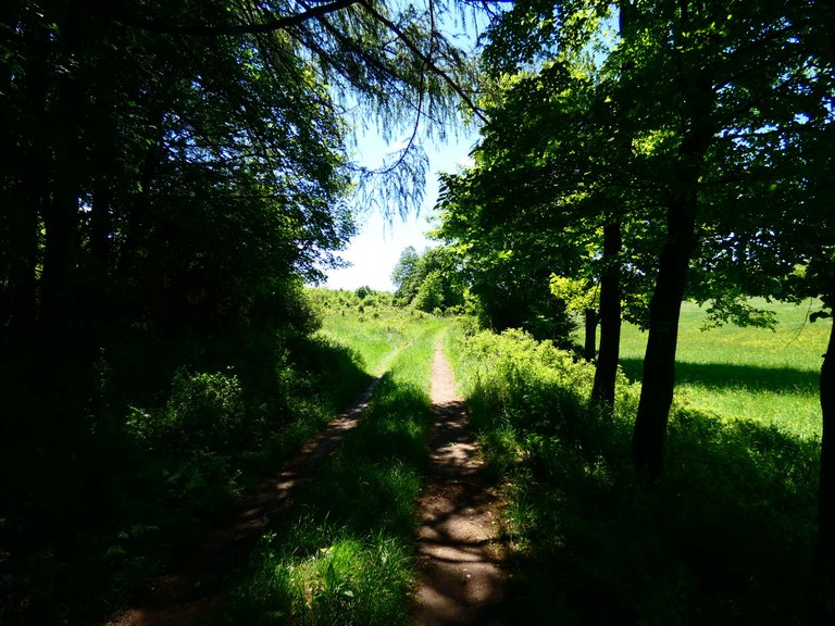
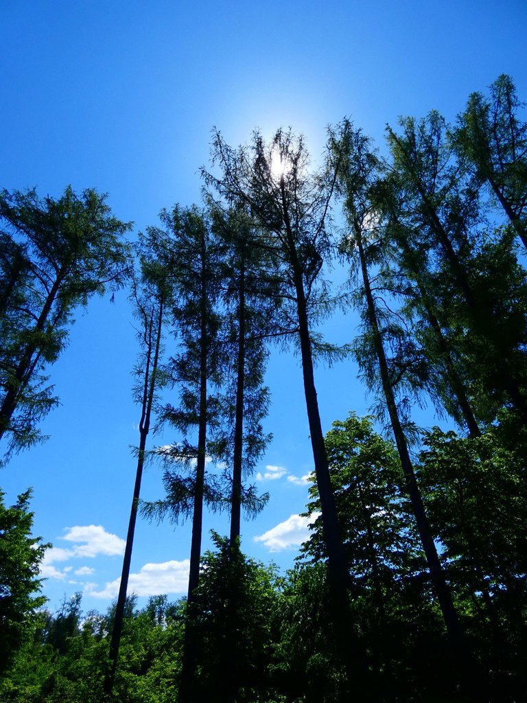
From here on, the rocky landscapes of the Bakony no longer dominate so much as the groves, flower-covered hills and young forests. Walking along the shady paths was pleasant and fast, but then I reached the tarmac cycle path and from there I had to continue in the blazing sun.
It was quite a long and straight section up to Kab Mountain. It's good for cyclists because it only takes a few minutes to get to the top, but for me it's an hour. It was good that I was alone, because for others I would have been unbearable, swearing that I hated the heat and the asphalt. It's a weakness of my body awareness, I'm used to the cold and if I was dumped somewhere in the tropics or desert I would "die" in 5 minutes. It was only 25 degrees here, but it still felt hot.
This 2-3 km stretch was uncomfortable, but after that I felt fine.
Leaving Úrkút village, light and shadow alternated.
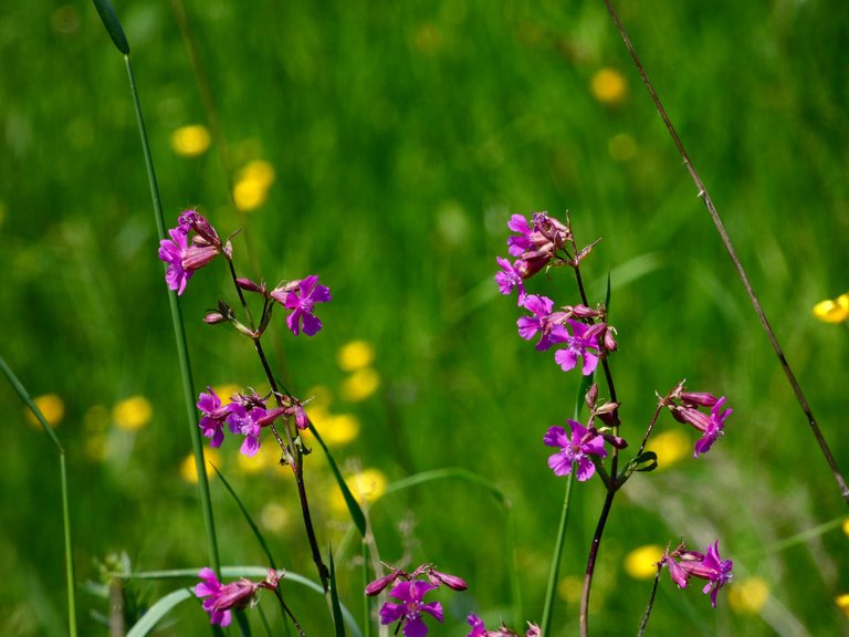
This little pink flower (I think it's a species of wild carnation) blooms in masses in the meadow.
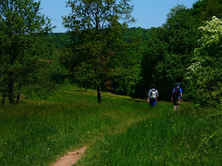
I only met two hikers the whole way, they were going in the opposite direction.
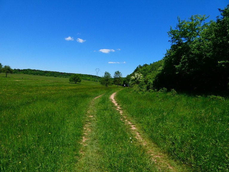
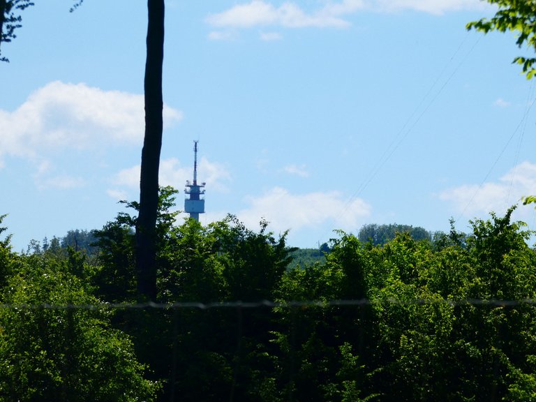
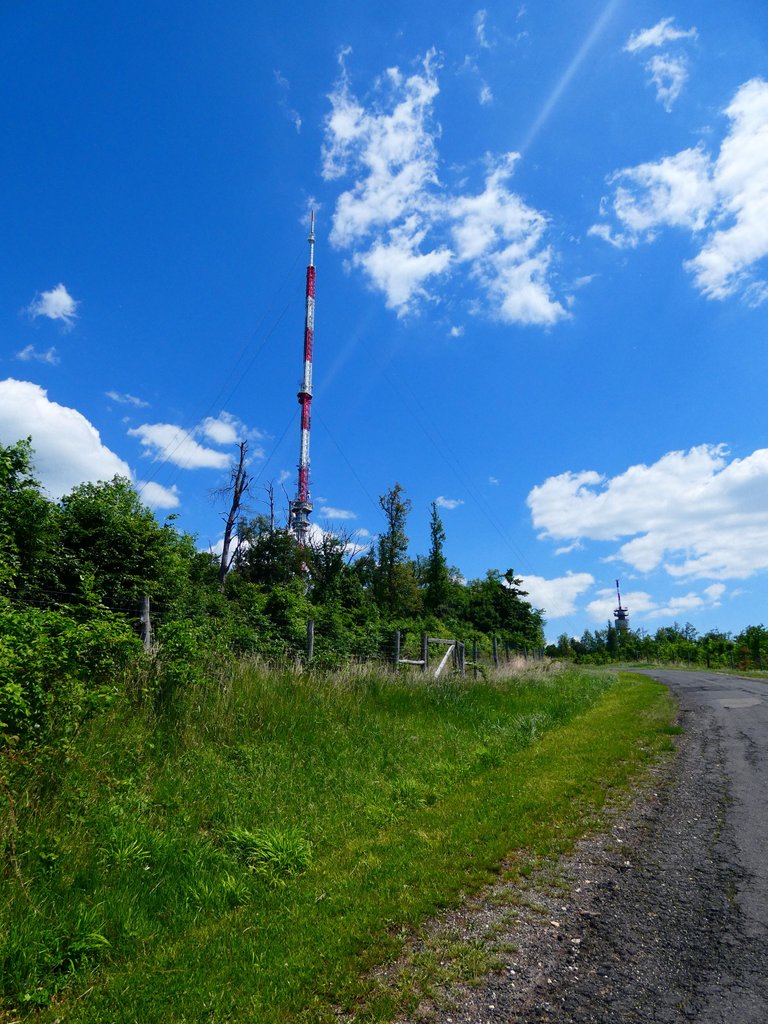
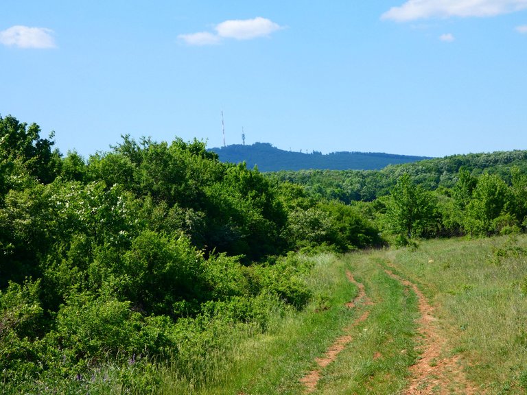
I didn't see a sign for a kilometre, I thought I was lost. But then I was relieved when I saw the transmitter tower on Kab Mountain.
Red pines line the road. These trees are not native and the climate is too warm for them.
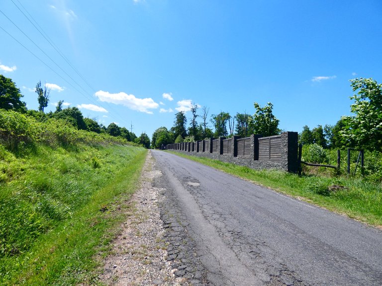
This is the ominous asphalt road, which should have been avoided, but couldn't. Many of the trees on both sides had been cut down and were covered in scrub.
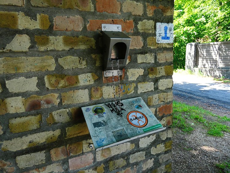
There was a small shadow in the stamping area. But I could not rest because there was not even a bench.
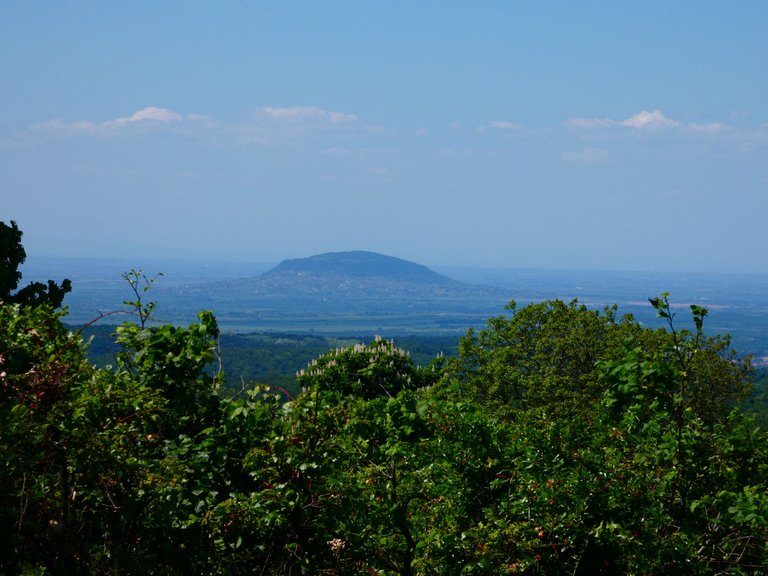
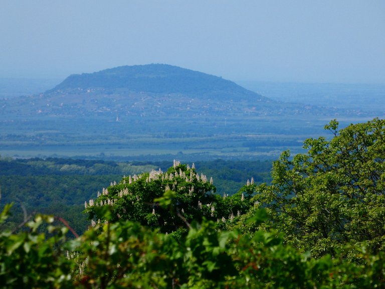
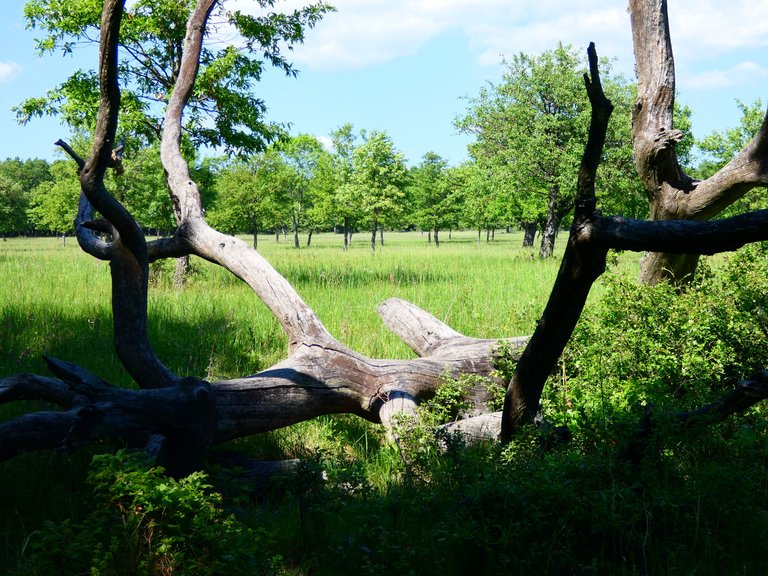
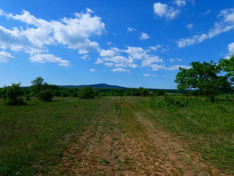
All the inconvenience was compensated by the beautiful view of the Balaton volcanic hills.
Looking back at the mountain, I took one last look at that ugly iron pole.
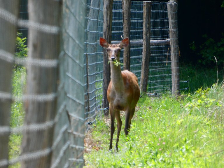
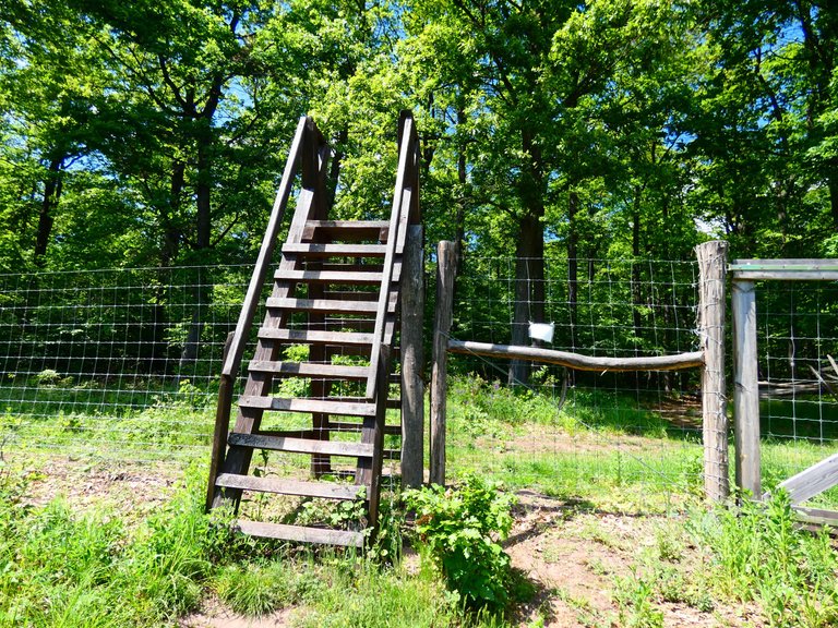
Sometimes there are surprises. I lost my way for some reason. Maybe it was because I misread the sign pointing to the right, and I went that way, along a high game fence. I should have climbed over a ladder. But I went down along the fence and saw this beautiful deer. As it was far away, I was unable to focus on it clearly, but I could see that grass was hanging out of its mouth.
Here is the ladder where I finally climbed over, and on the other side was the sign, well hidden in the thicket.
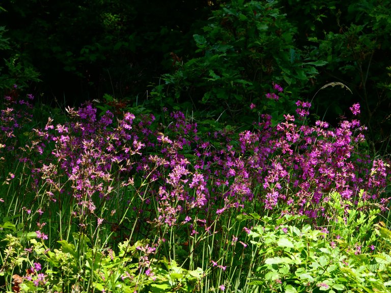
In the forest I was greeted by a mass of pink flowers.
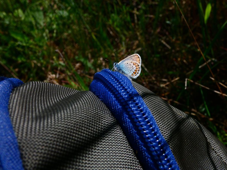
The forest was followed by a beautiful grove with lots of blue butterflies.
They flew by the thousands and clustered in groups.

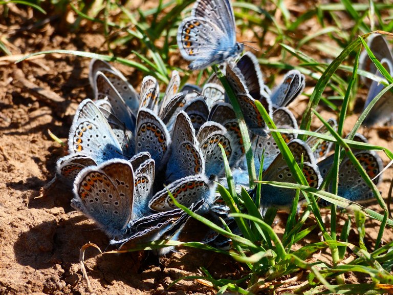
Of course my backpack was also attacked.
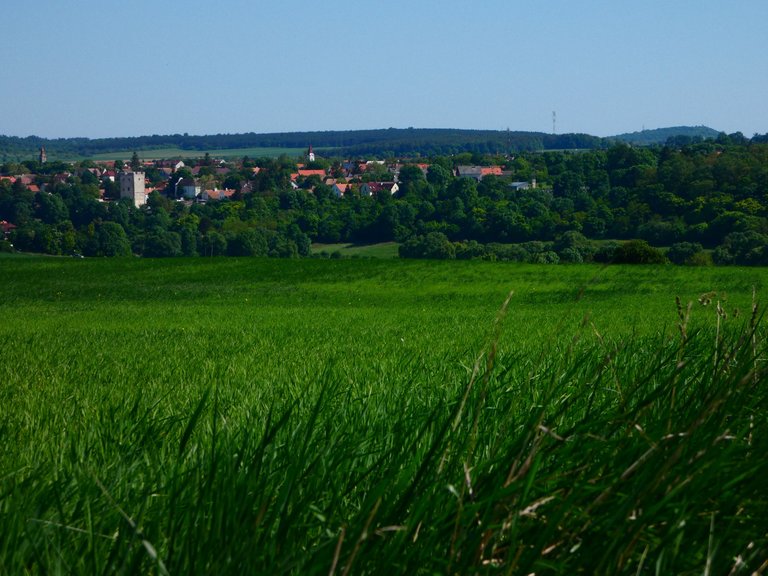
I'm approaching Nagyvázsony and moving away from Kab Hill.
Nagyvázsony close up
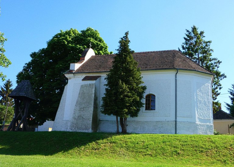
Small chapel in Nagyvázsony, near the castle
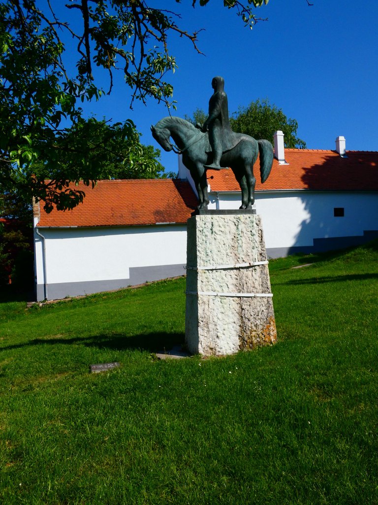
The equestrian statue of the valiant Paul Kinizsi
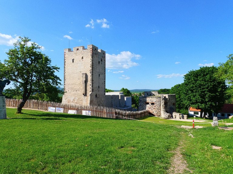
The Medieval castle of Nagyvázsony
Terrace of a restaurant
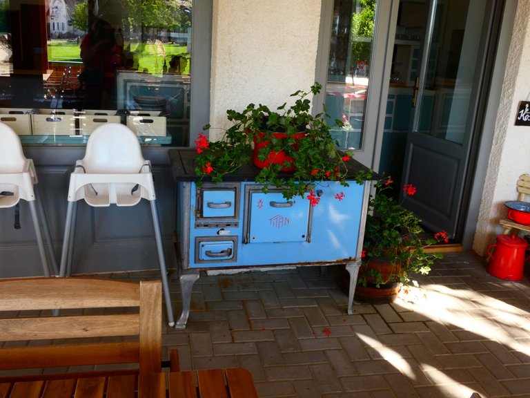
Unfortunately, my phone battery died here, but that's okay. I will come back to Nagyvázsony and from here I will continue my journey through the Balaton highlands.
Wow, those butterflies! They have good taste in colors and aesthetics.
So do you drive/bus/get dropped off where you left off each time and then ride back when you're done with that portion? I once met someone who has been hiking the Pacific Crest Trail (on western the US coast) most of her life, but just does weekend hikes in small portions once a year.
I usually hike in small portions (20-25 km) but i'll go to a bigger trip in summer. That means 3-5 days with tent (sleeping alone in the wild).
Oooooo!!! Scary fun.
Congratulations, your post has been added to Pinmapple! 🎉🥳🍍
Did you know you have your own profile map?
And every post has their own map too!
Want to have your post on the map too?