As we count down to the end of 2023, I can't seem to shake this feeling of something I can't figure out. 2023 was quite life-changing for me; I resigned from my job and was unemployed for months before diving into a new adventure. But amidst all those changes, one thing remained the same: my passion for the outdoors. During those unemployed months, the mountains and the outdoors were there for me, helping me manage the stresses of life—high expectations from family and friends, and the disappointments I encountered along the way.

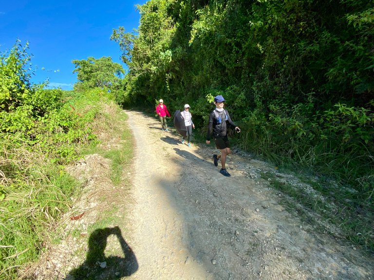
For one last hurrah in 2023, I, along with my constant outdoor friends who've been with me for years, ventured on what could be our last day-hike for the year. December tends to be a bit busier for us and my friends due to the holiday season.
Days before the weekend, Alton messaged our group chat about a possible hiking route for the weekend, from Naga City to Minglanilla in Southern Cebu. Without hesitation, I decided to join this hike since I didn't have anything else to do on the weekends.
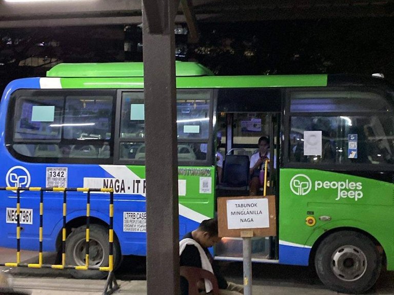
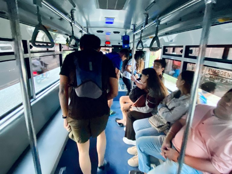
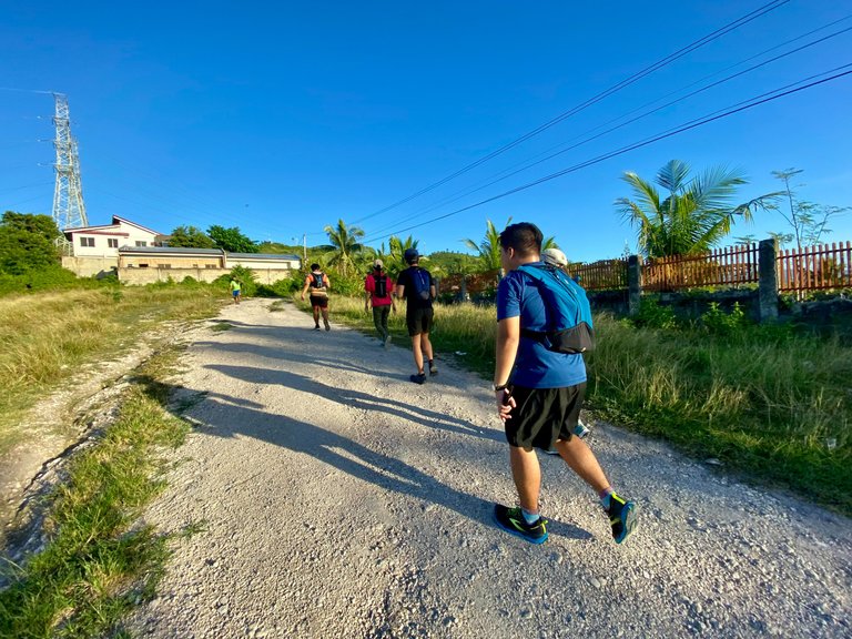
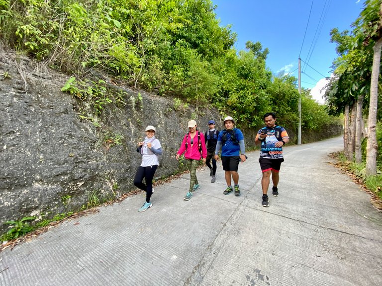
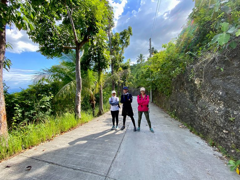
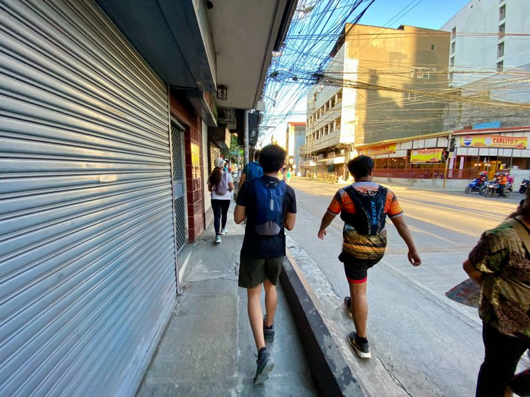
On Sunday, I woke up at 3:30 in the morning; we planned to meet around 4:00 AM at the IT Park Terminal, where we could catch a modern jeep going to Naga City, which is around 24 kilometers from the terminal. I arrived at the terminal first, so I decided to take out my breakfast from the nearby fast food. Everyone arrived; it was just the six of us this time, along with @mariasalve, James, Alton, @danahnatalie, and Spencer. Fortunately, a modern jeep going directly to Naga arrived, and we departed around 5:00 AM. It was super early in the morning, so there was less traffic, and we arrived at our destination in less than an hour.
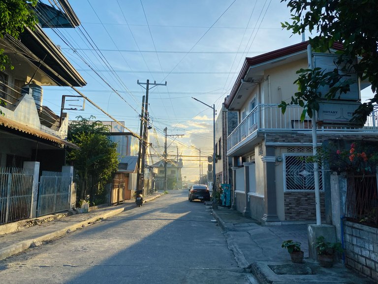
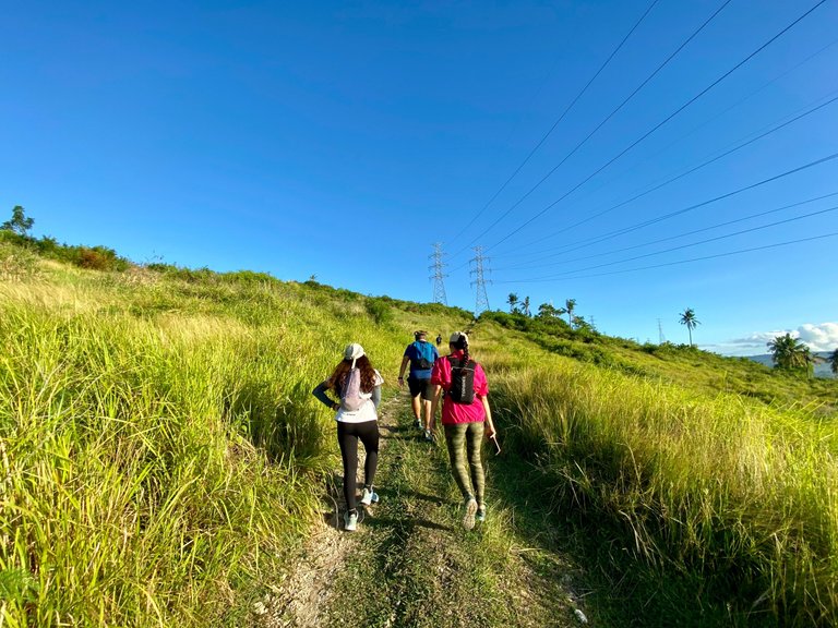
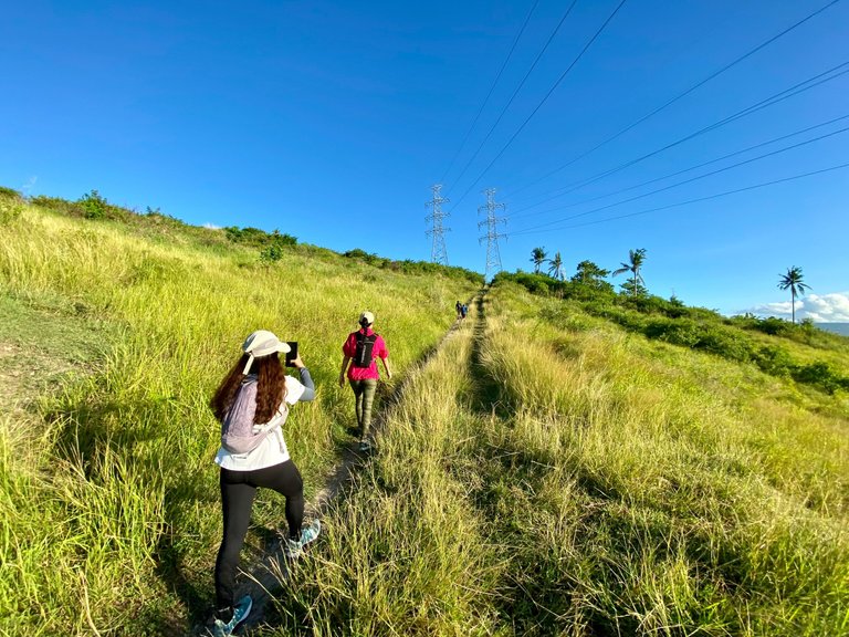
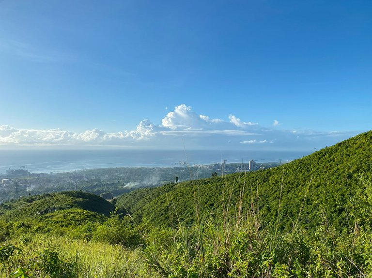
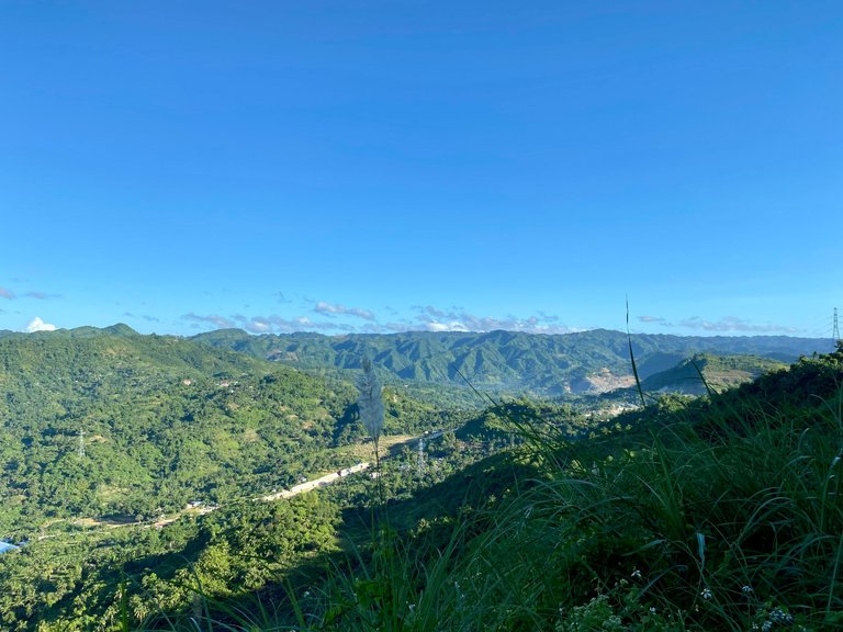
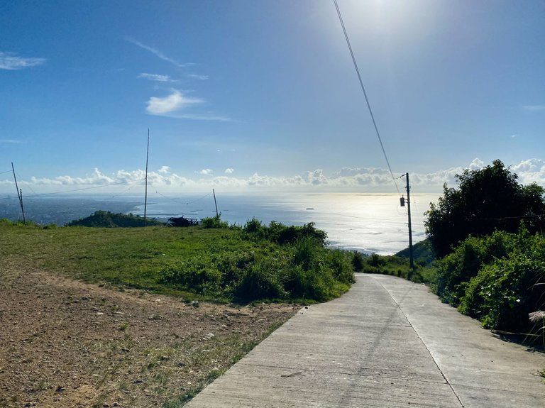
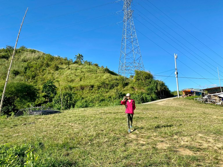
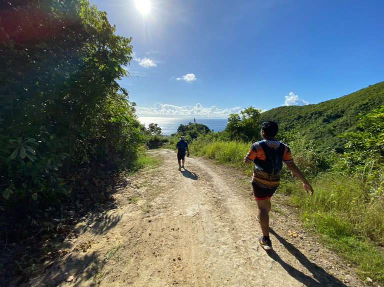
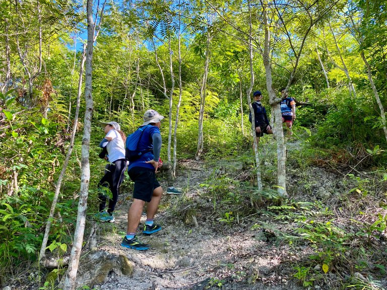
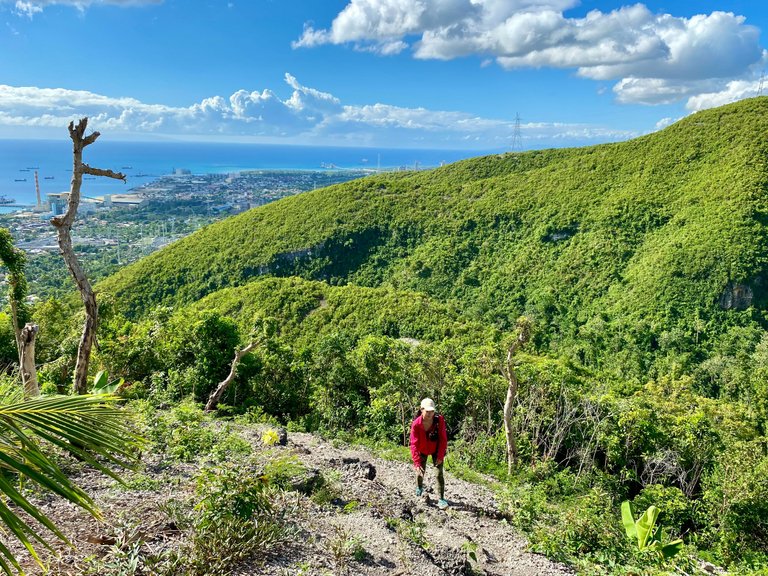
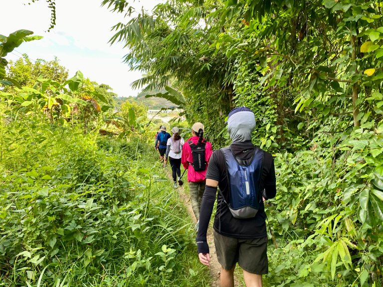
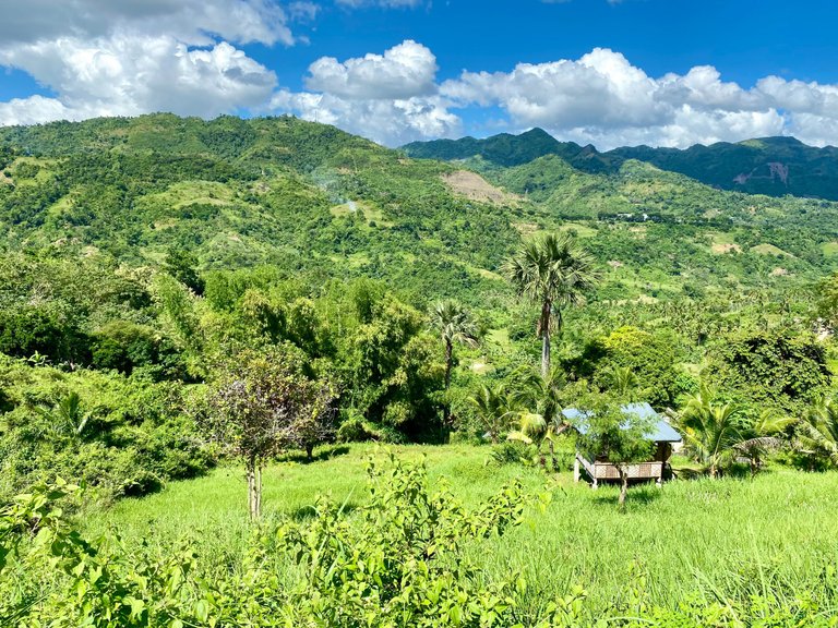
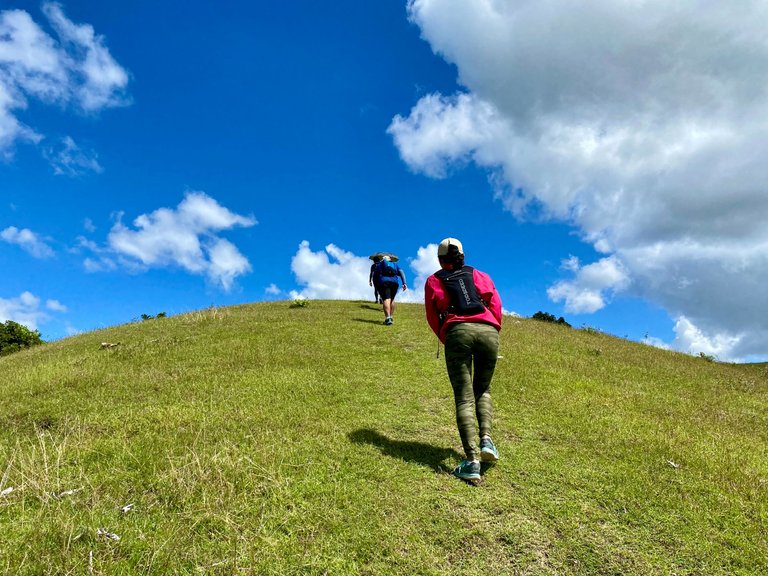
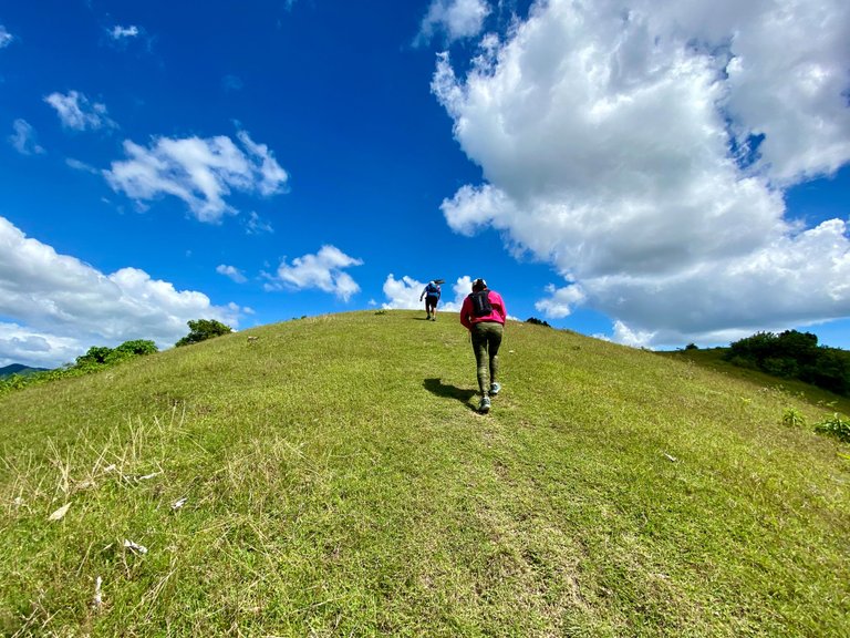
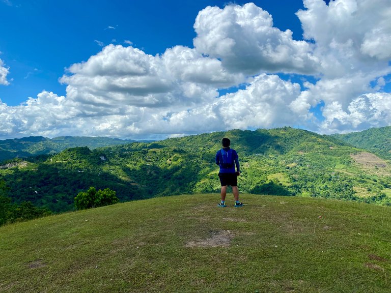
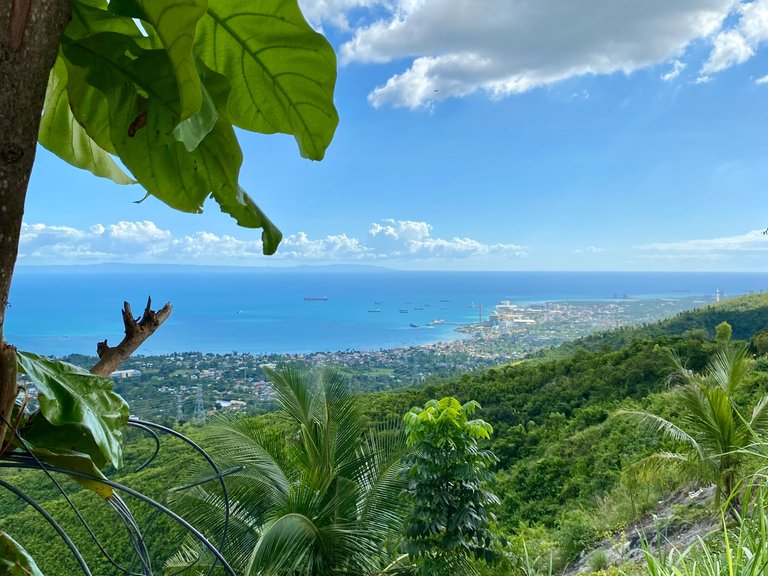
Before we started, we had to fill up our water bottles. I also managed to eat my burger while waiting for them to fill up their bottles. The first part of the adventure was a walk on the cemented road of Mendoza Street for 1 kilometer until we reached an elevated and grassy area with an overlooking view of the sea and Naga City. The glare of the morning sun started to warm us, even though it was early in the morning.
|
|
|
|---|---|
|
|
|
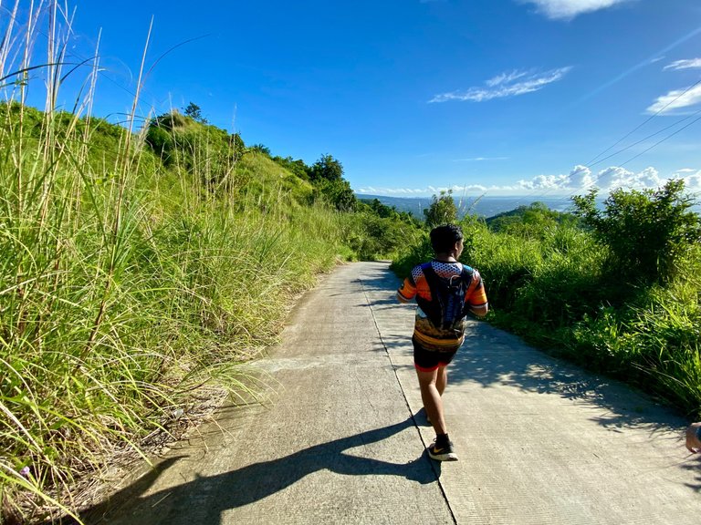
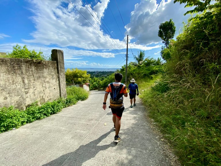
Our first goal was to reach a cemented road in Brgy. Naalad, where we hoped for some shade. I was already pushing my feet to walk, even though we had just started. I could hear my heart pounding, but I had to push through.
|
|
|
|---|---|
|
|
|
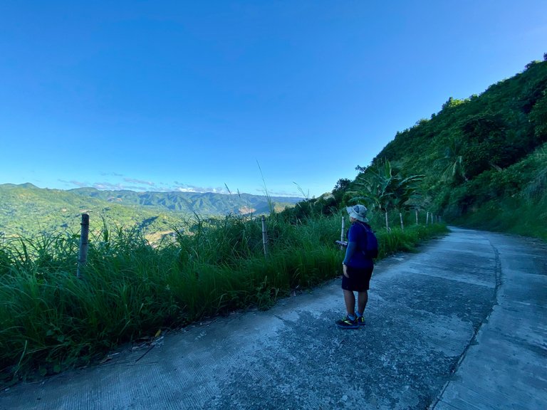
Finally, around 7:00 AM, the lamp post that I had been eyeing from afar was within reach. I reached the road while catching my breath. We rested for a little bit before continuing our walk on the cemented road. Some parts of the road were shaded, but I was already craving for a cold soft drink, even though it was super early.
|
|
|
|---|---|
|
|
|
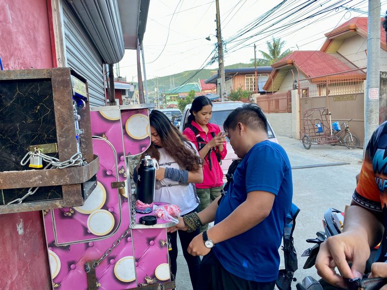
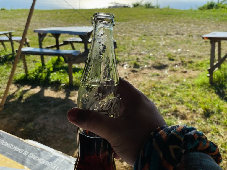
Thirty minutes passed, and we reached Brgy. Magdooc, Naga. I immediately bought a bottle of cold Coca-cola and relieved myself of my cravings. It was not my first time there, but the place was totally different from before. There were already stores selling drinks and liquors. I think they turned the place into a tagayanan (a place where people drink or an outdoor bar).
|
|
|
|---|---|
|
|
|

We did not stay longer and proceeded immediately to our hike. I was a bit clueless about our next destination.
|
|
|
|---|---|
|
|
|
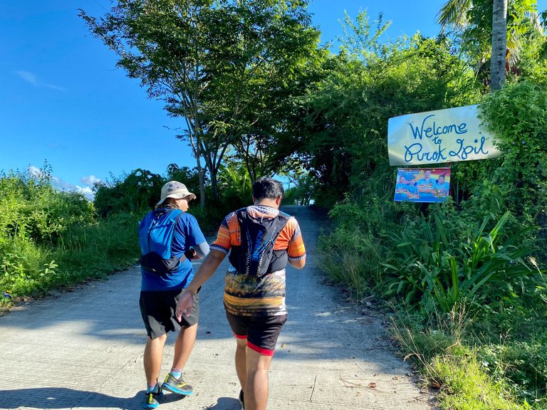
The next thing I knew, we were already on a familiar trail. I did not know that we were passing through our previous campsite in Brgy. Tuyan, which I had a hard time ascending last time because of its steepness.
|
|
|
|---|---|
|
|
|
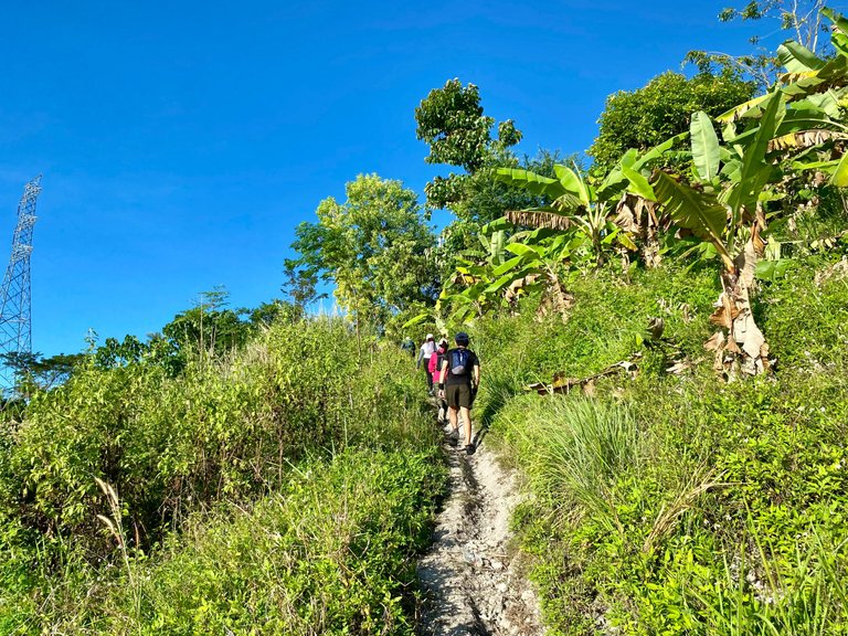
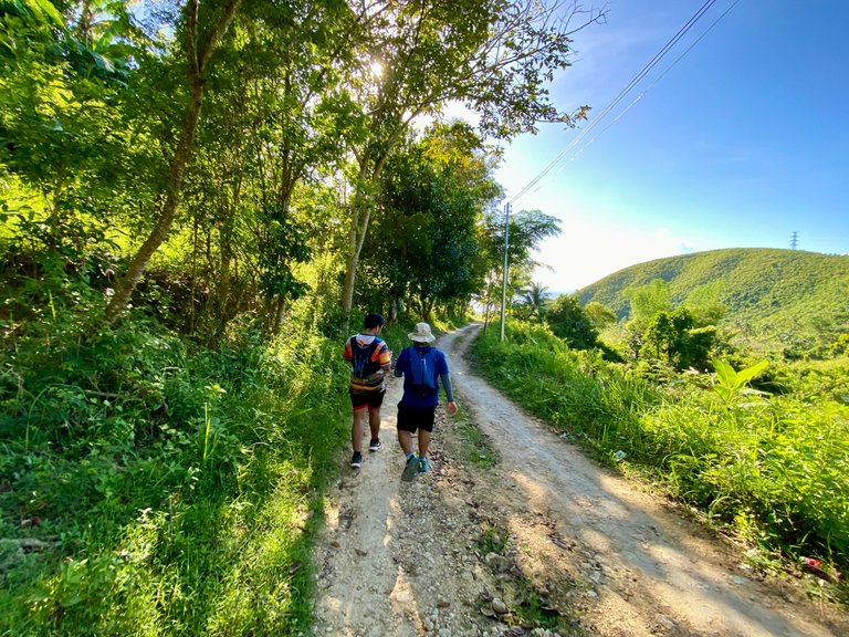
We rested a little bit before starting the ascent. The trail was somewhat different because there were already man-made steps all the way up. But for me, it did not help. I was already cursing and taking deep breaths while on the trail. It was quite tiring, and I took multiple rests within the trail.
|
|
|
|---|---|
|
|
|
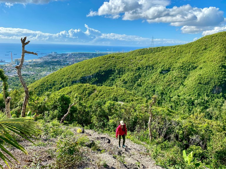
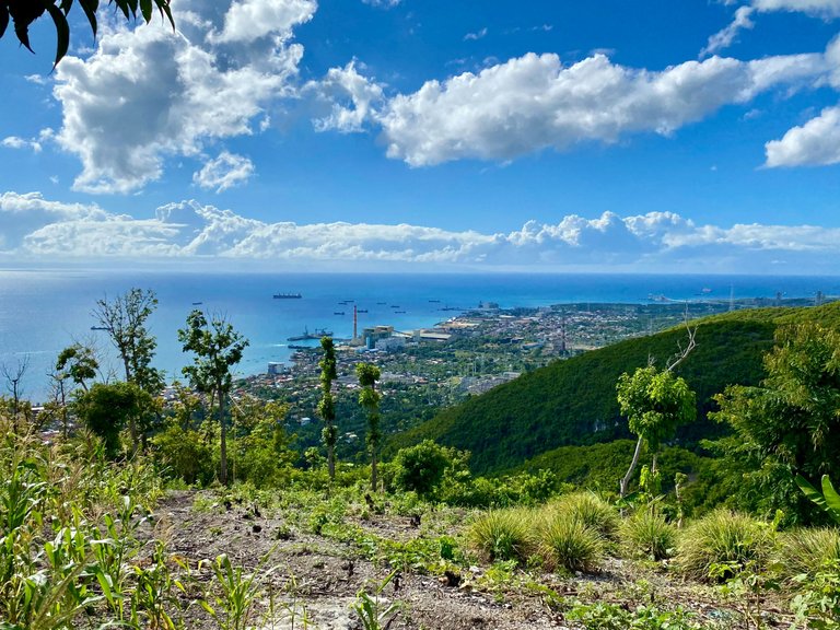
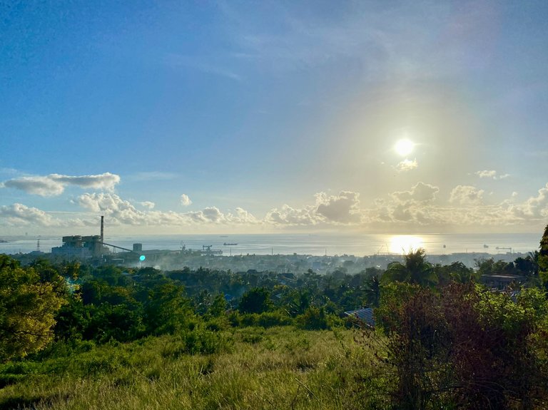
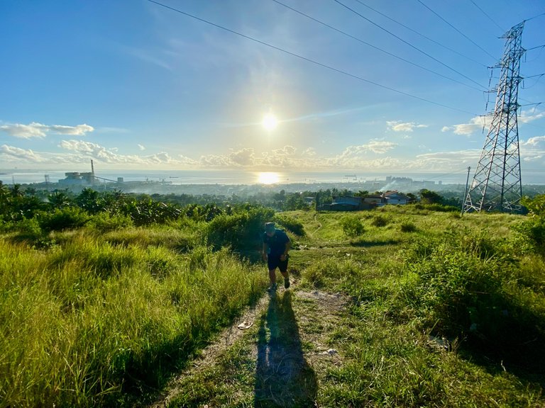
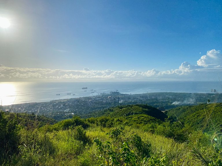
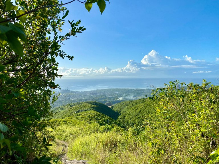
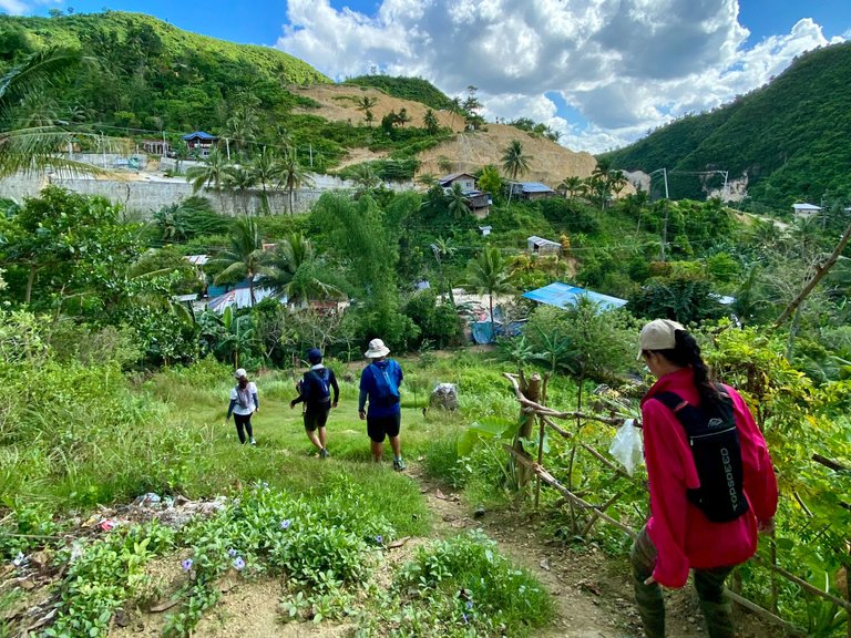
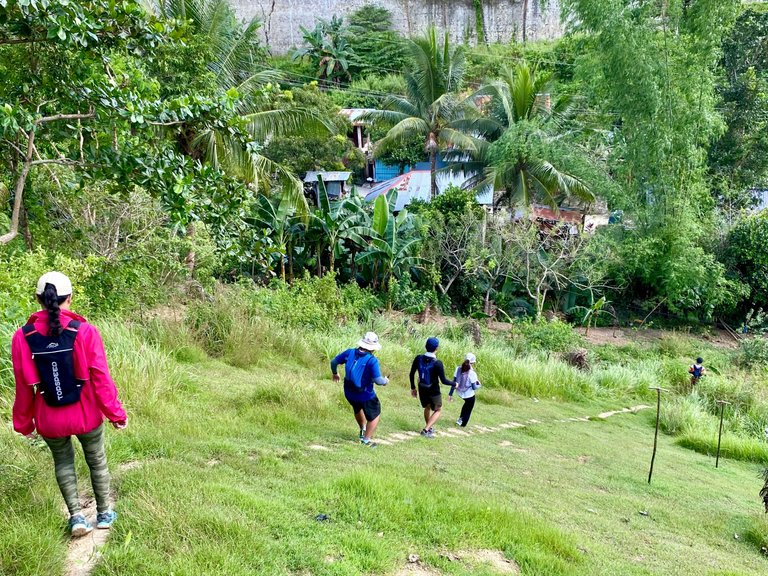
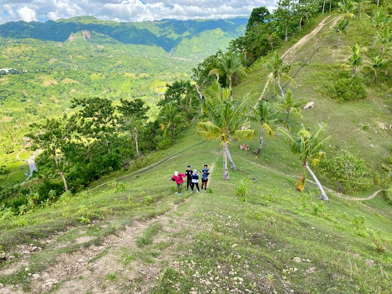
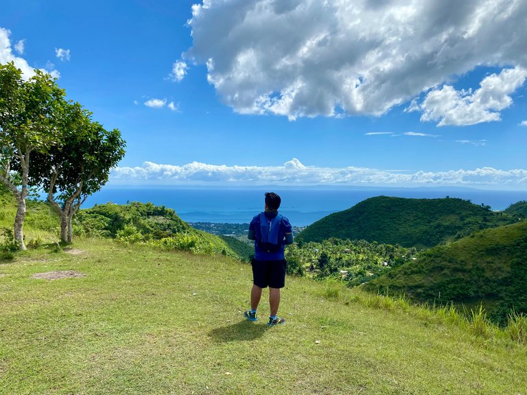
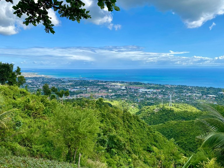
We reached an open trail with a small hut above, offering a spectacular view of the whole Naga City. It was quite a rewarding view.
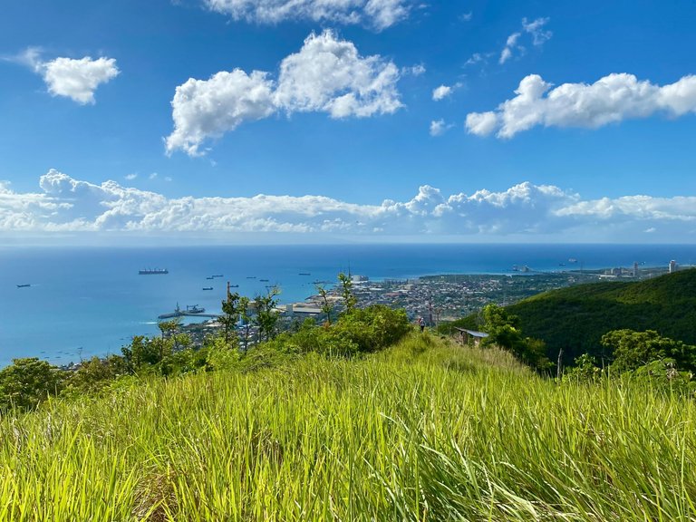
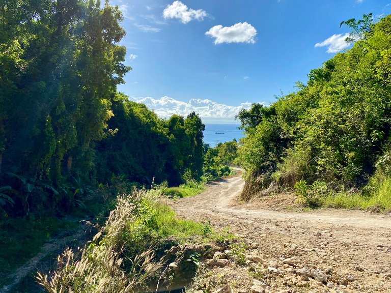
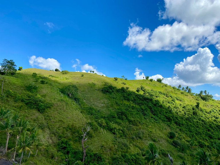
Continuing our hike, a few meters from the small hut should be our previous camping site, now unrecognizable due to the overgrown grass. We stopped for a short time at the shaded part of the trail, looking at the map and deciding which way to go. We continued descending until we had a sight of the Cebu Expressway.
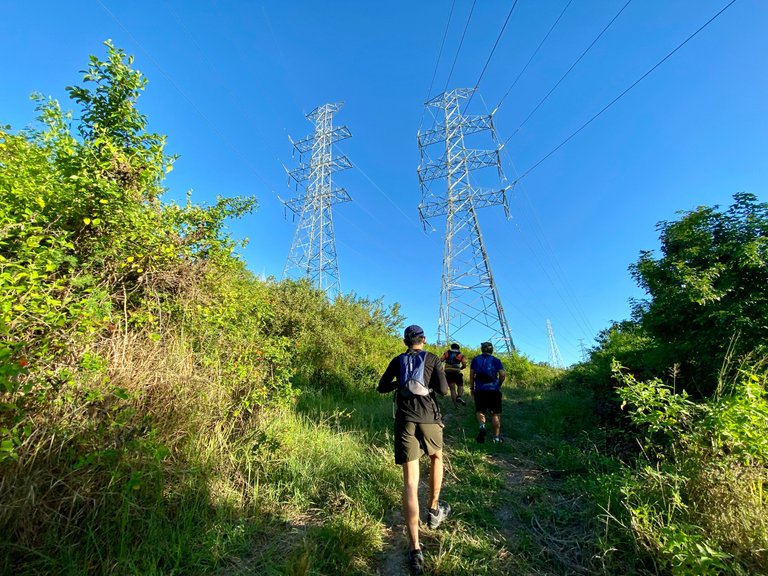
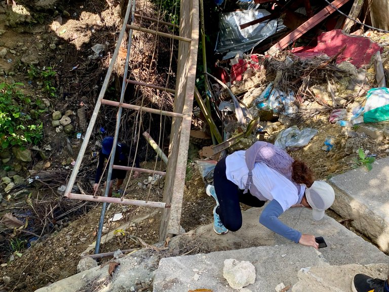
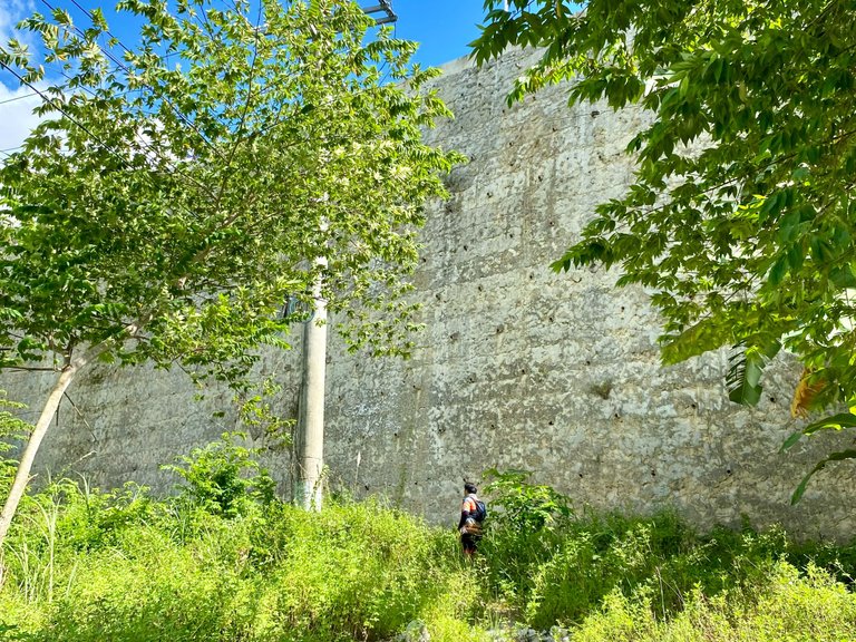
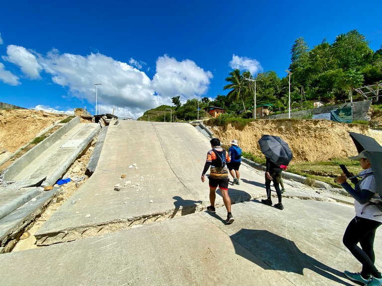
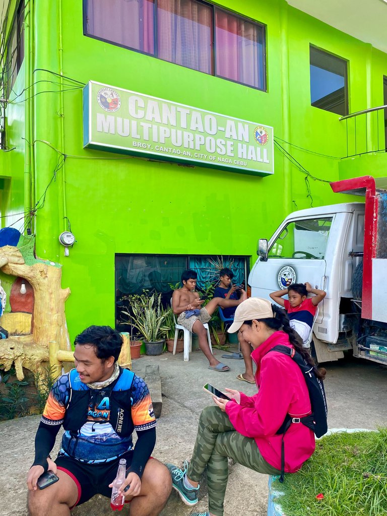
We reached Brgy. Cantao-an, Naga, and encountered a tall wall of the Cebu Expressway. We struggled to find a way up to the road until we found a trail alongside the wall, leading to a large crack that divided the road in two. This was featured in one of the episodes of KMJS because some of the houses there were swallowed by the large cracks.
|
|
|
|---|---|
|
|
|
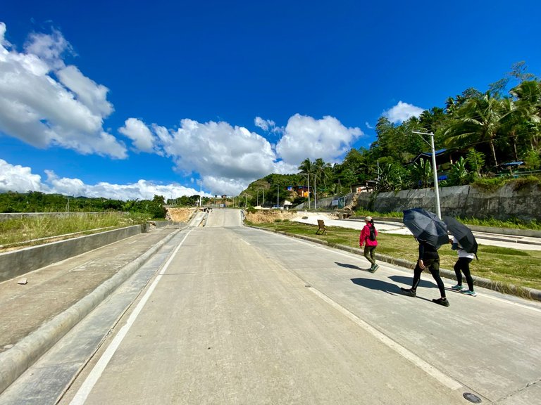
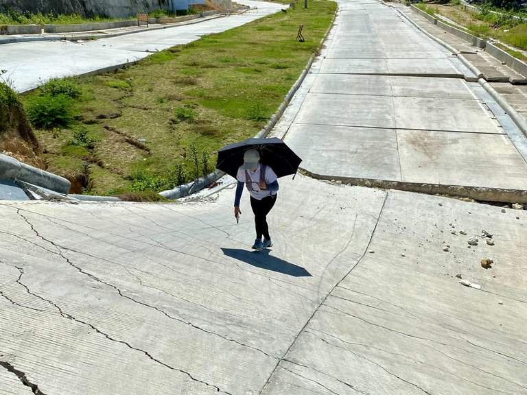
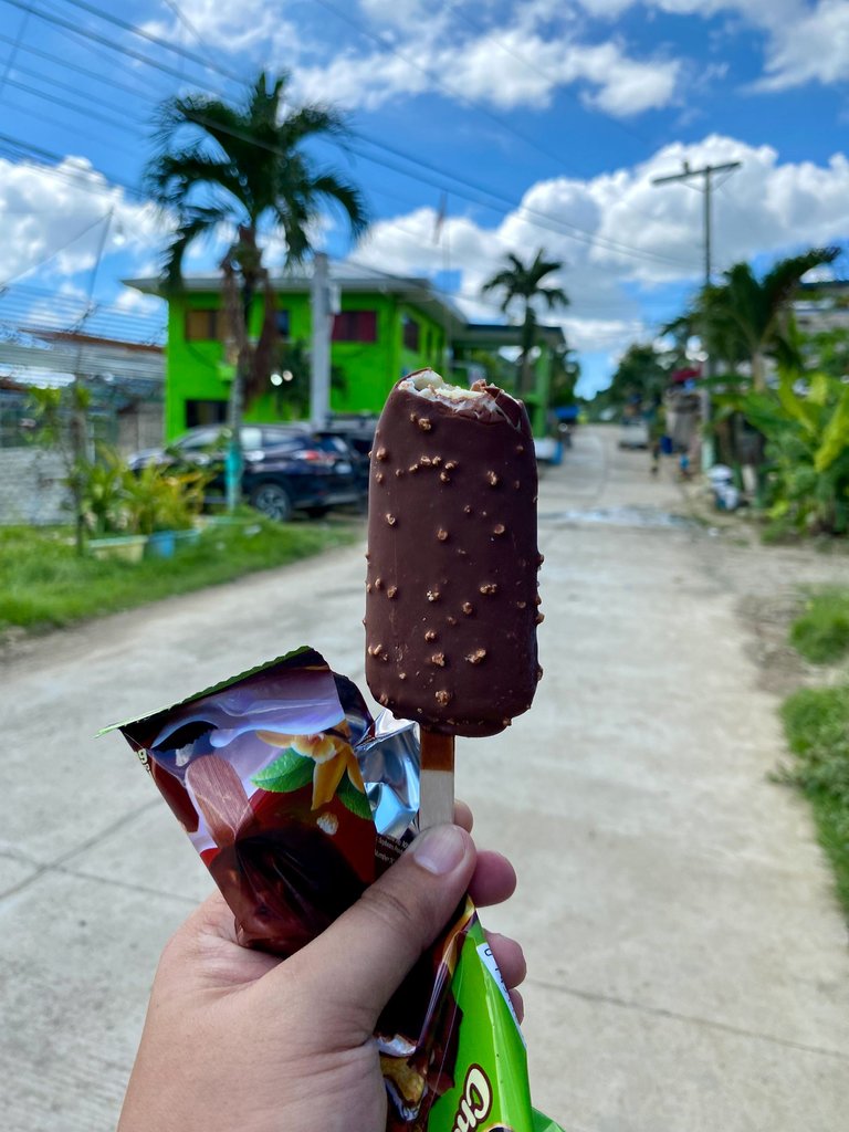
The raging heat of the sun continued as we walked on the damaged part of the expressway. There were no shaded parts of the road, so we walked fast towards the nearest store, where we bought our second cold soft drinks. I was craving for some cold water and ice cream, so we continued our walk, hoping we could find a store that sells them.
|
|
|
|---|---|
|
|
|
We arrived at Brgy. Cantao-an Multipurpose hall and found a store that sells ice cream and cold water. Yes! Cravings satisfied!
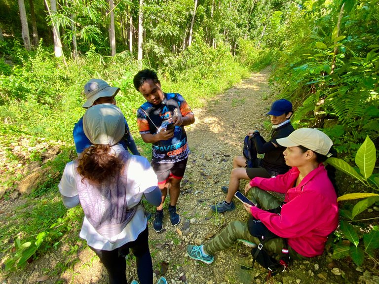
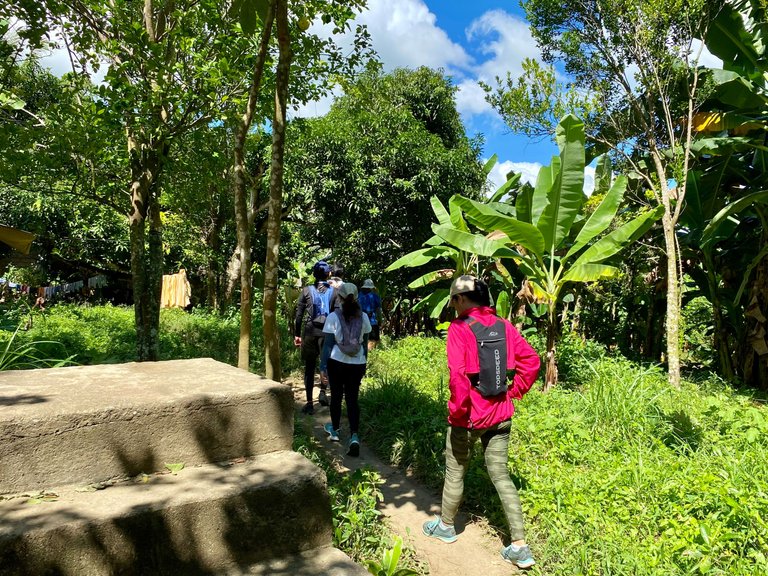
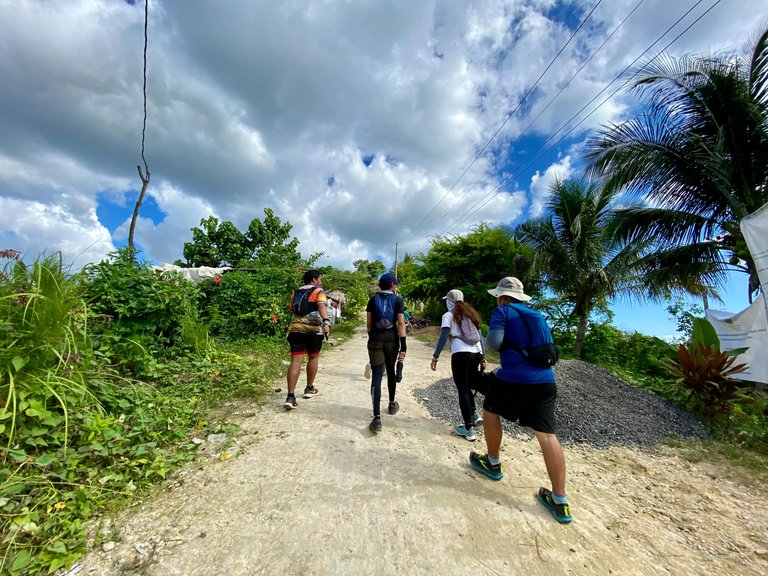
We stayed there for like 20 minutes or so as we waited for the clouds to cover the sun. We resumed our hike to Sitio Pangilatan in Brgy. Inayagan, Naga. We made multiple stops along the way as the sun mocked us. Every time we planned to resume our hike when the clouds blocked the sun, it immediately appeared as we stood to continue our hike. It was almost lunchtime when we decided to continue, despite the heat of the sun.
|
|
|
|---|---|
|
|
|
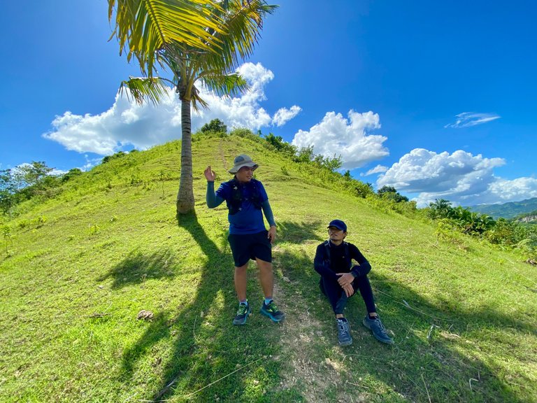
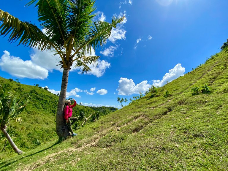
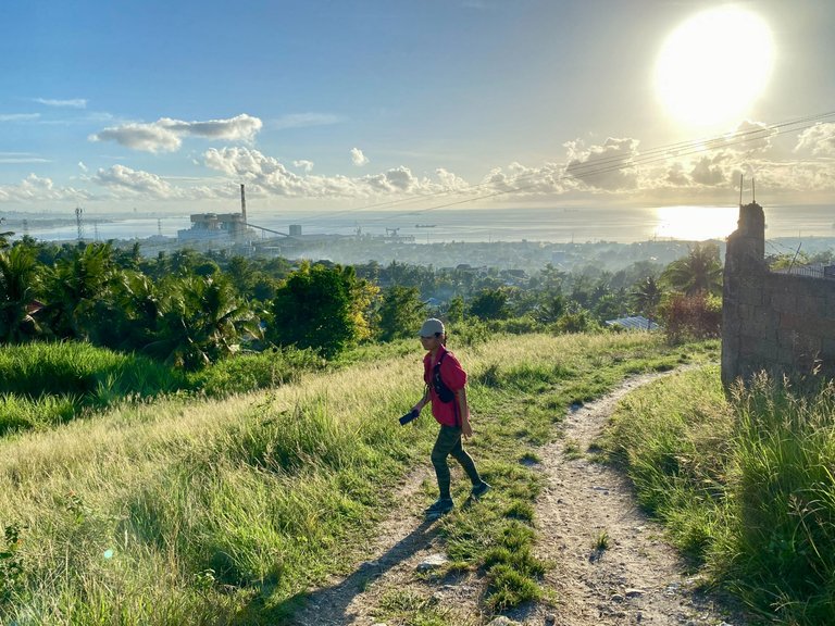
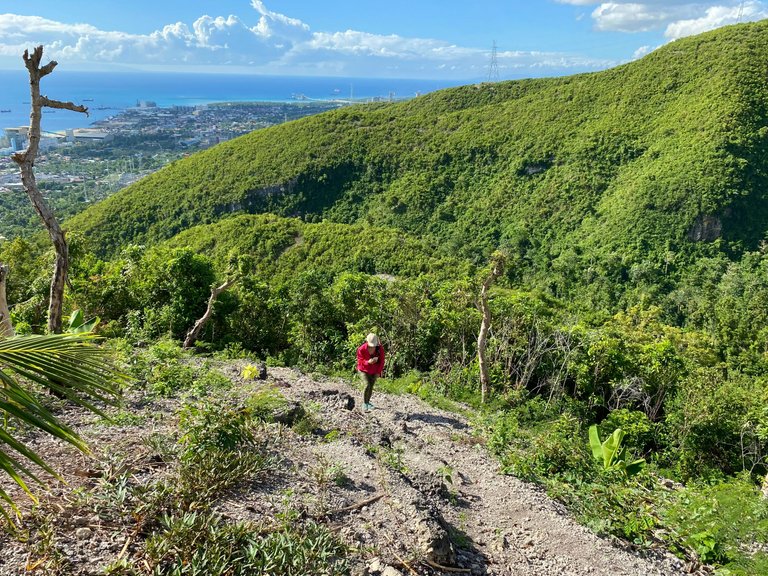
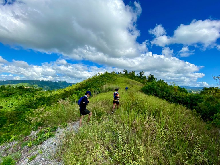
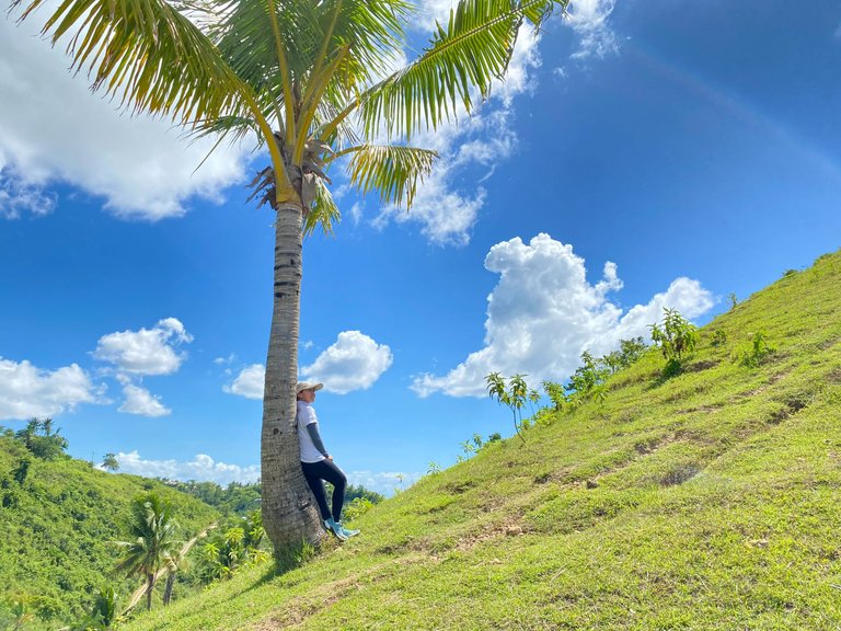
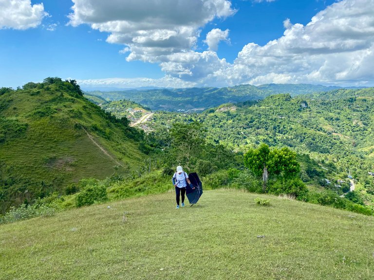
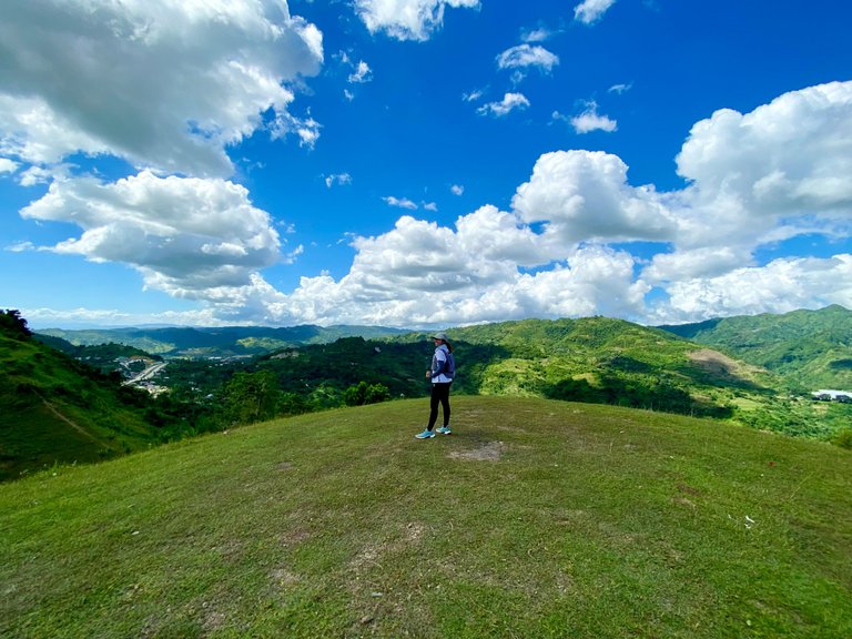
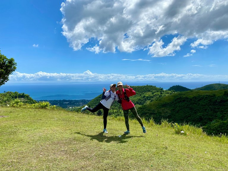
We reached a super nice peak with an overlooking view of the mountains from afar. We had a short photo session there as it was an open area.
|
|
|
|---|---|
|
|
|
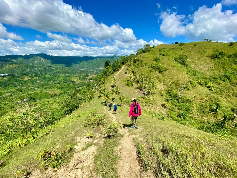
The place is perfect for camping, as it has a nice grass but could be super hot in the morning as there are no shades of trees to block the sunrise. I already felt a little bit hungry, so we decided to push through.
|
|
|
|---|---|
|
|
|
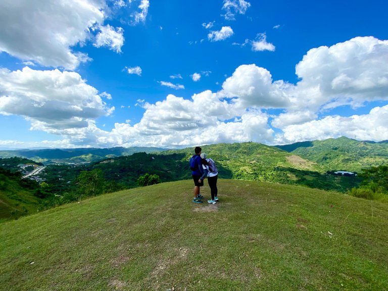
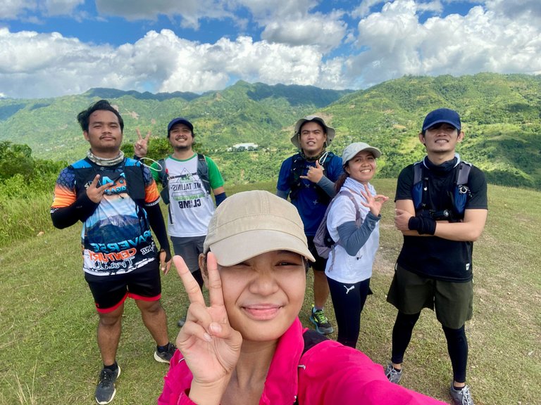
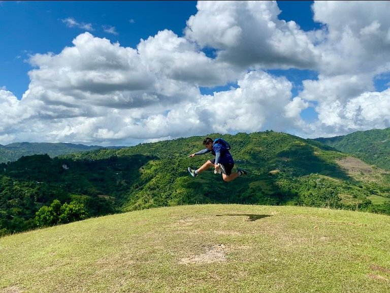
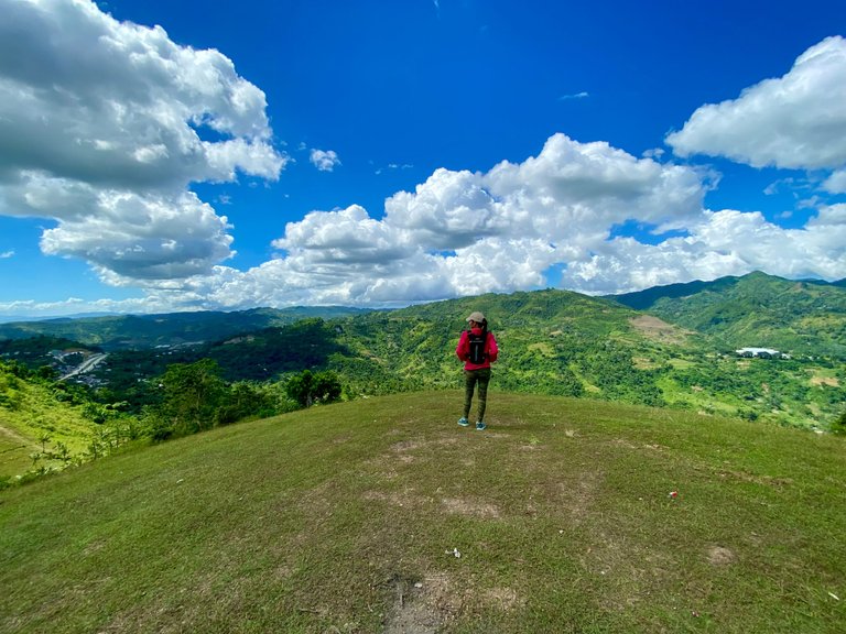
Of course, we would not waste the opportunity to pose and have something to look back on in the years to come.
|
|
|
|
|---|---|---|
|
|
|
|
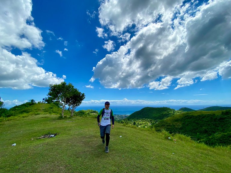
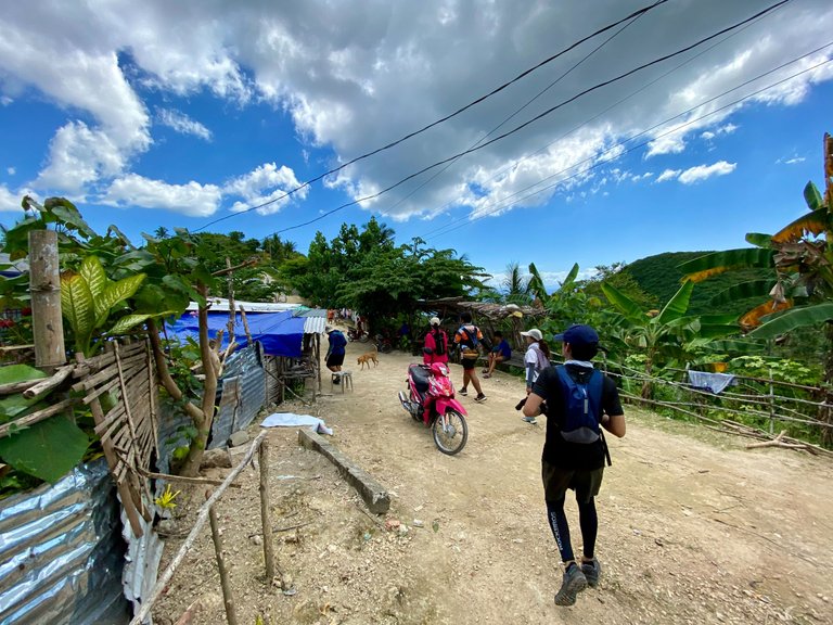
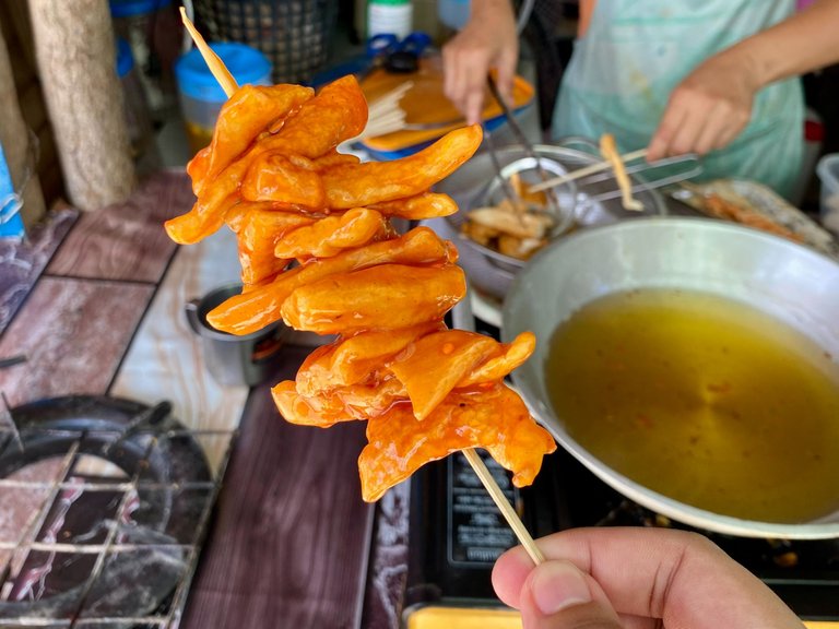
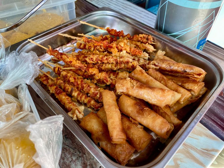
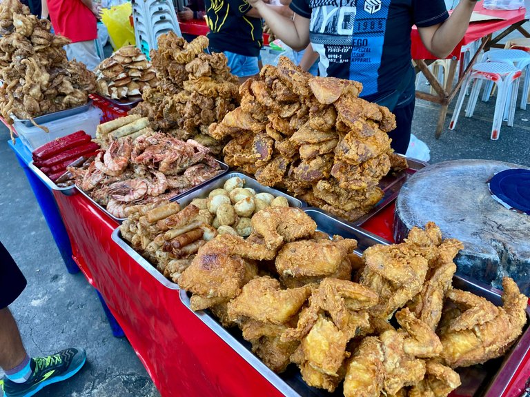
We could already see Sitio Pangilatan. As we arrived closer to the houses, we were delighted to see a store selling some snacks like deep-fried chicken intestine (isaw), fishball, tempura, lumpia, and hot cake. We decided to eat our lunch there and chill, as it was super early to end our hike.
|
|
|
|---|---|
|
|
|
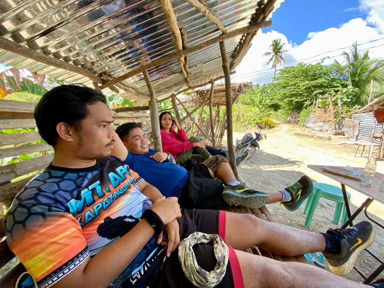
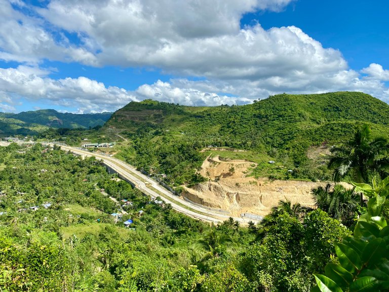
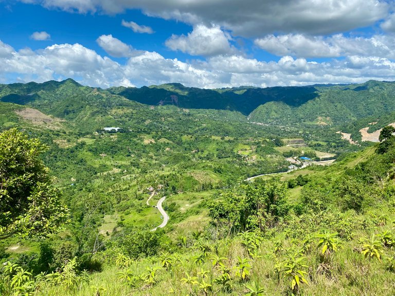
We stayed there for like 2 hours just talking about some random stuff. At 2 PM, we decided to continue walking until we saw another vantage point that has a view of the entire Naga City and Minglanilla.
|
|
|
|---|---|
|
|
|
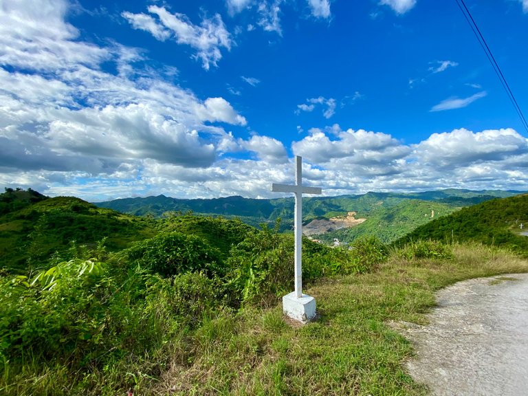
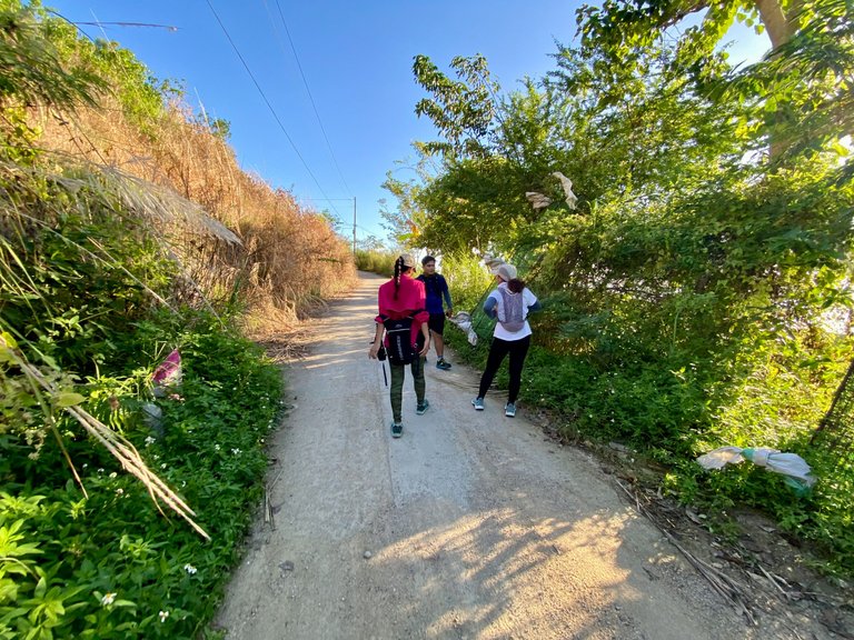
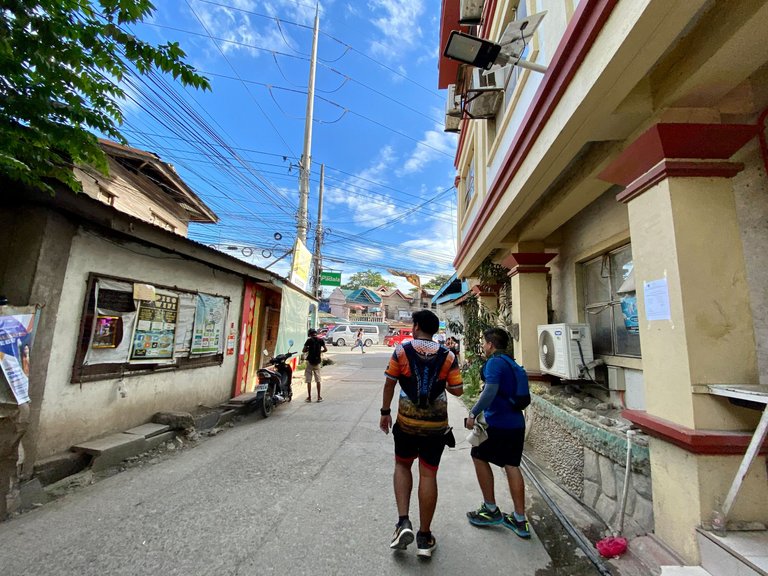
Going down, we followed a cemented road that has some crosses for the 12 Stations of the Cross until we reached the Brgy. Hall of Inayagan, which ended our adventure.
|
|
|
|---|---|
|
|
|
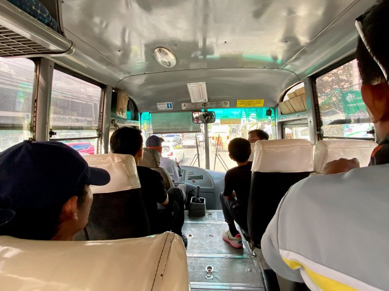
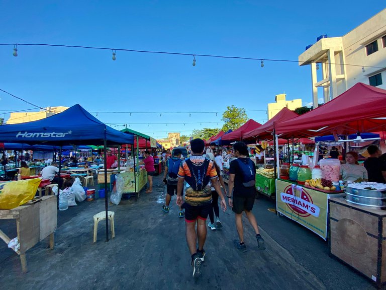
We still had one more place to go after our hike: the Night Market in Colon Street. We hopped on a bus going to South Bus Terminal and walked to the food park in Colon. We stuffed ourselves with some food before going home.
|
|
|
|---|---|
|
|
|
Thinking that this may be our last day hike for this year makes me sad and excited at the same time for the upcoming adventure next year. That's it for today; I hope you all had an amazing weekend.

About the Author
Meet Kevin de Arca, a Data Analyst by profession and an adventurous wanderer at heart. With a passion for exploring new places and cultures, he uses traveling as a way of distressing and making unforgettable memories. He is always wondering where to wander next.✈️ 🏖 🌅
Congratulations, your post has been added to Pinmapple! 🎉🥳🍍
Did you know you have your own profile map?
And every post has their own map too!
Want to have your post on the map too?
Perti ka labley but ang init sad hebili! Haha nice one sir arc. Ibutang ang name sa peako de arca! 😂
Hahahha buhatan ug name sa google map ba
Grabe kainit jud ani inyu hike ba. Wa jd mo nagpayong hahaha
Wa uso uy haha
Di japun ko ka get over sa ka init Hahahahaha😂
Ako sad. Hasta karon nagcrave pakog coke whahaha jk
I love the nature pictures
Thank you 🙏
Hiya, @lizanomadsoul here, just swinging by to let you know that this post made it into our Top 3 in Travel Digest #2072.
Your post has been manually curated by the @pinmapple team. If you like what we're doing, please drop by to check out all the rest of today's great posts and consider supporting other authors like yourself and us so we can keep the project going!
Become part of our travel community:
Thank you @lizanomadsoul @pinmapple! I appreciate it!
Beautiful view! Surely worth the hike!
Thank youuu 🙏