Namaste 🙏
Hope you all are doing good!!!
So after having a lunch below the ridge, we got the energy that we need to hike further.
We slowly started walking and after walking for half an hour, we were running out of water. We were feeling more thirsty after having such a heavy lunch, so we drank all our water and now all we had was a single bottle of water.
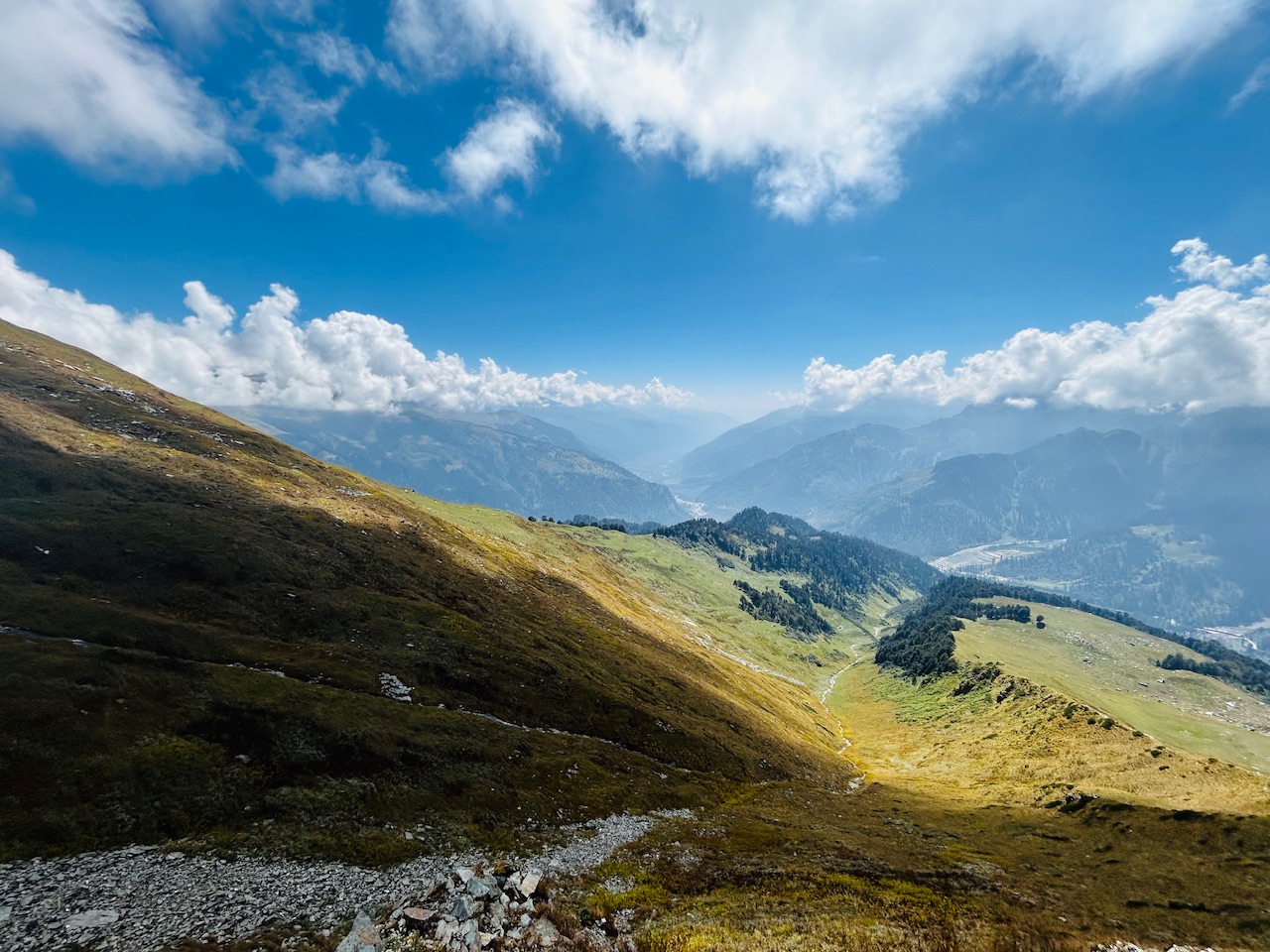
The stream of water from which we sourced water previously originated from a nearby creek. So we went in search of water again. This time, there was a little hope of finding the water as we were quite high and the water that was being fed in that stream of water was coming from down below.
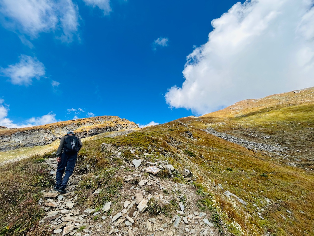
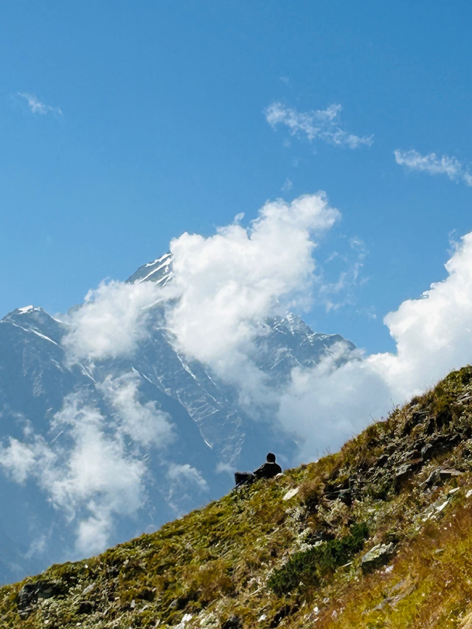
So, me and my brother went in search of water while we asked our father to stay at the trail and have some rest as we moved little of ftrack towards the creek and looked behind. We were able to see mighty peak of Hanuman Tibba.
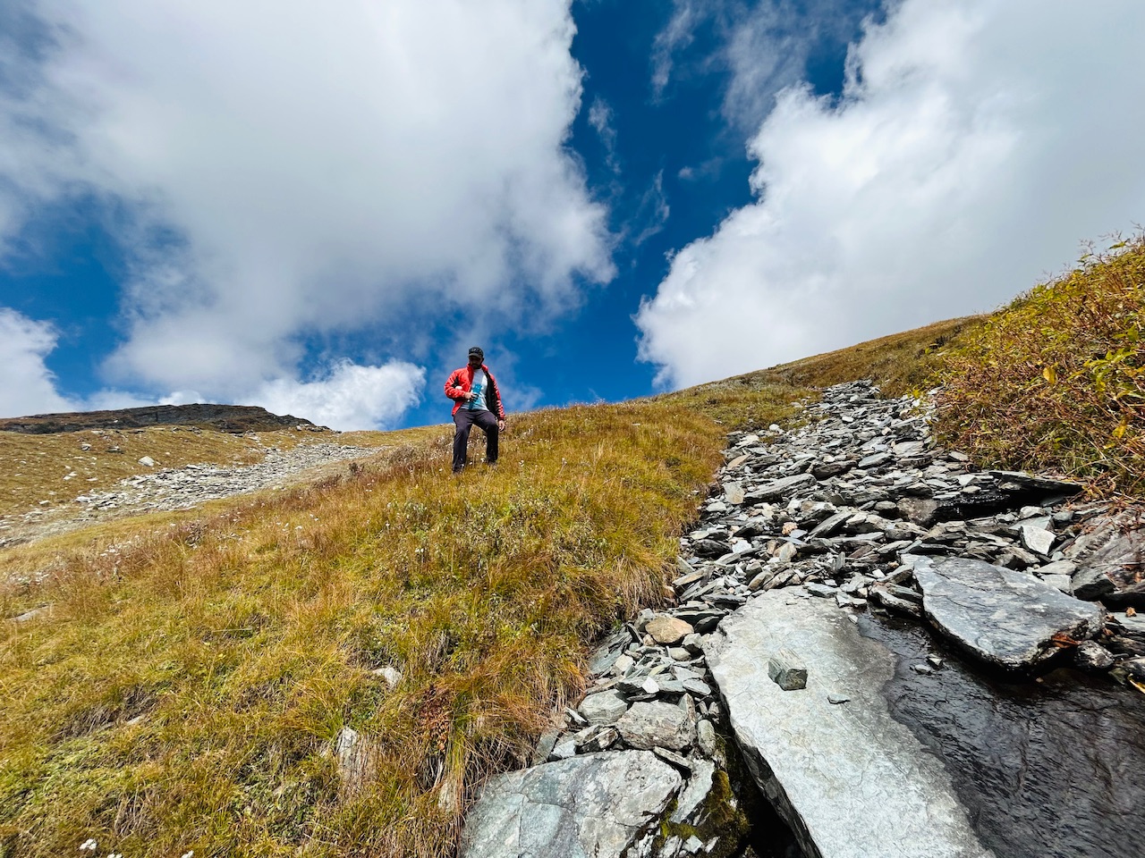
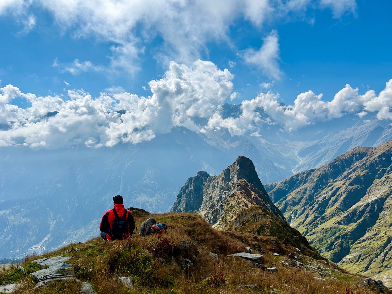
Very little water was coming from inside the creek, so it took us 15 minutes to fill a single water bottle. However, the view from there was amazing, it felt like we were on the top of the valley and whole valley was visible from there.
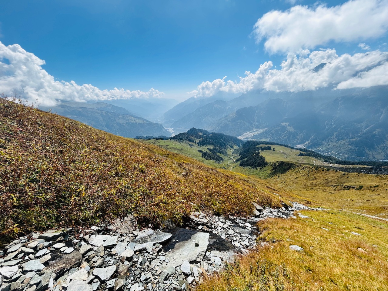
The pictures are not at all paying justice to the view that we were seeing with the naked eyes. It was unreal!
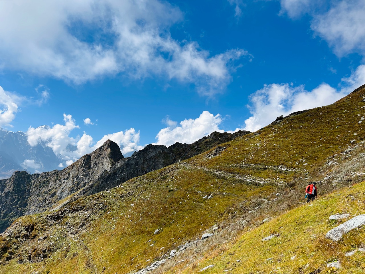
After filling the water bottle, we started heading back towards the trail to continue our journey ahead. We were tired, but the motivation of being on the top pushed us.
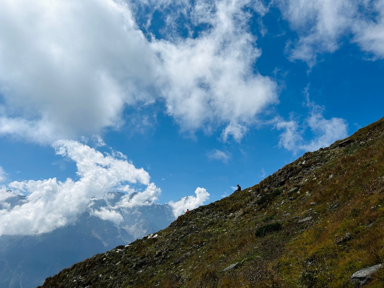
The terrain was completely changed now. It was huge loose rocks with no vegetation. The hike was getting difficult with each step. However, we were now quite near to the summit.
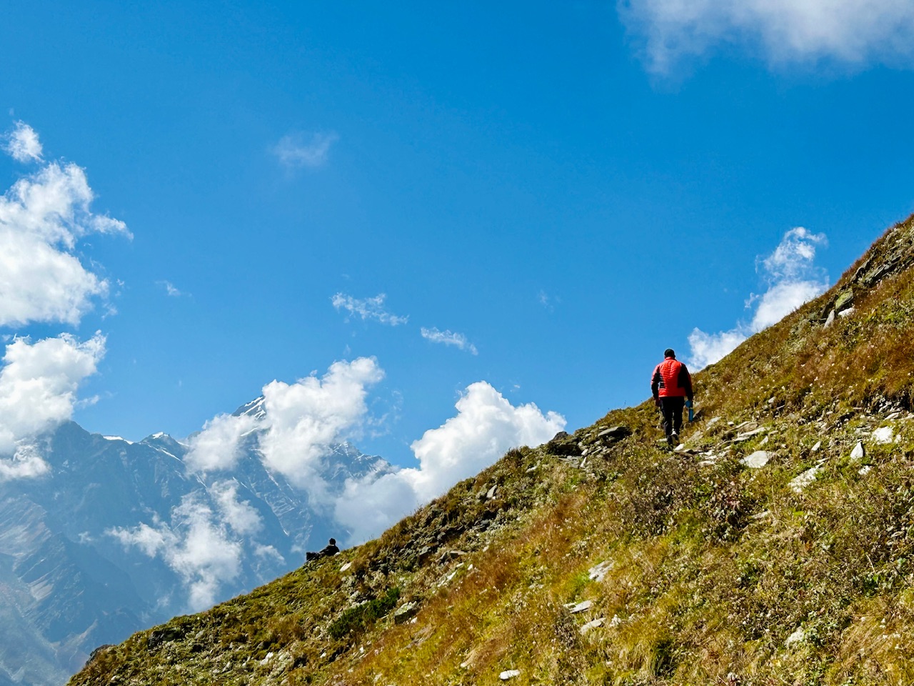
When we were navigating through the maps, we saw two different summits of this peak. As already mentioned the further hike was full of loose rocks and during winter days, it’s quite hard to climb over them as it becomes dangerous. Therefore, there are two summits of this peak One is winter summit and one is actual summit. The winter summer is quite lower to the actual summit, but that’s the maximum possible altitude that one can do safely during the months of winters.
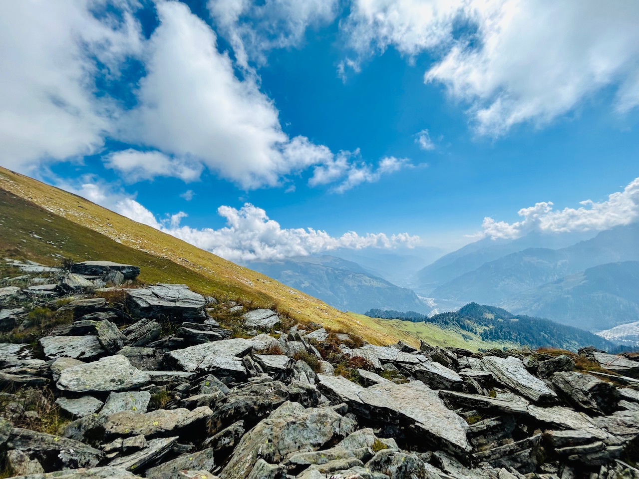
Now we were higher above the ridge end. The hike was getting difficult with each step. It was getting slippery and taking each step was checking a lot more energy than it usually took as we were on high altitude now.
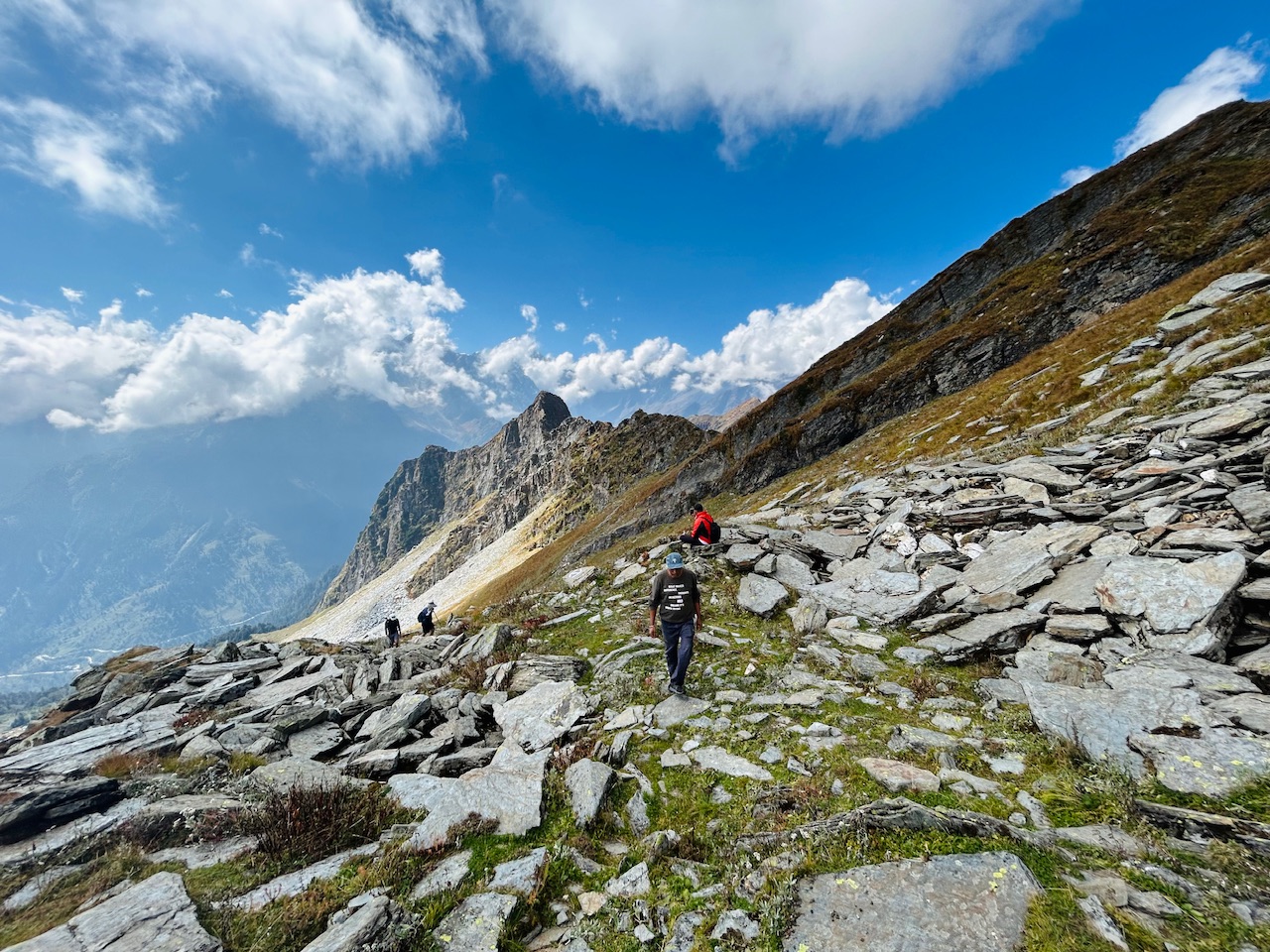
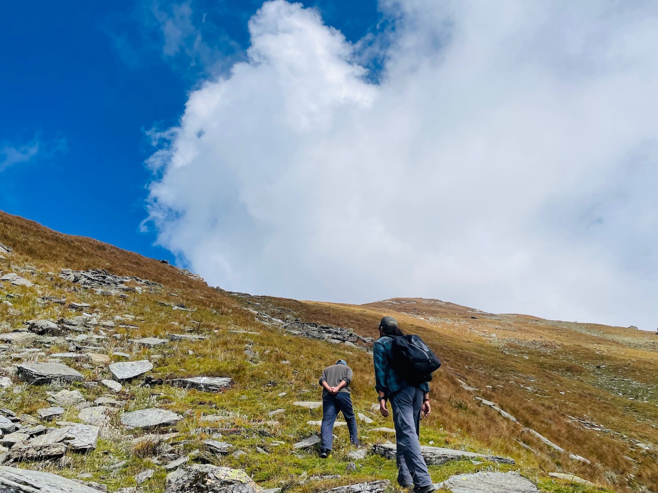
We could see trail markings up here too. On the loose rock It’s quite hard to mark the trail as they keep on moving with each step, but this mark was visible. We could see a little bit of winter Summit from here too.
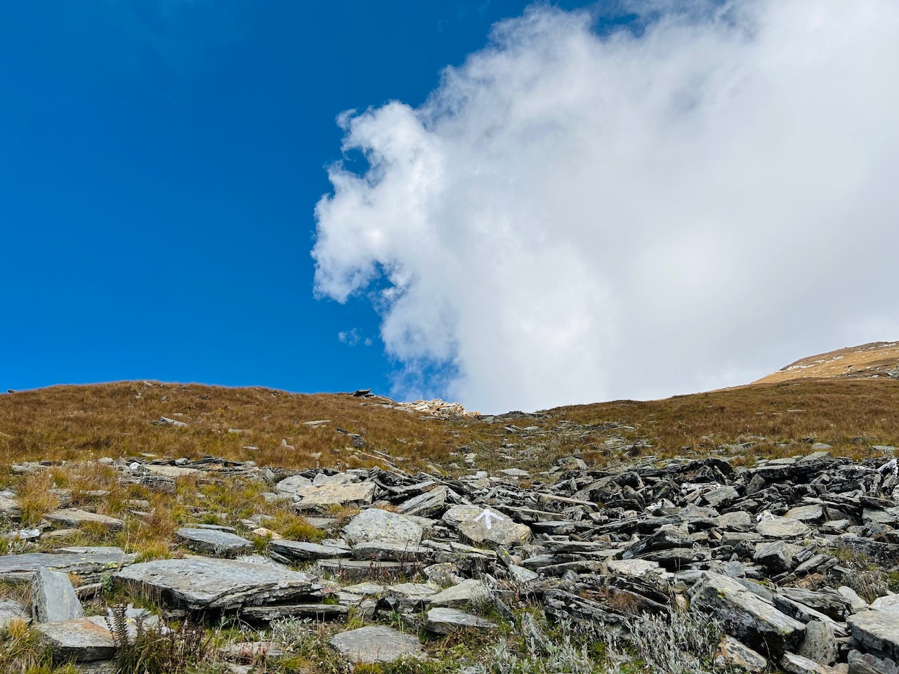
Upon moving for about 20 minutes, we could see winter summit. Clearly, there was a vertical rock that was made to stand there just to make sure that everyone notices it.
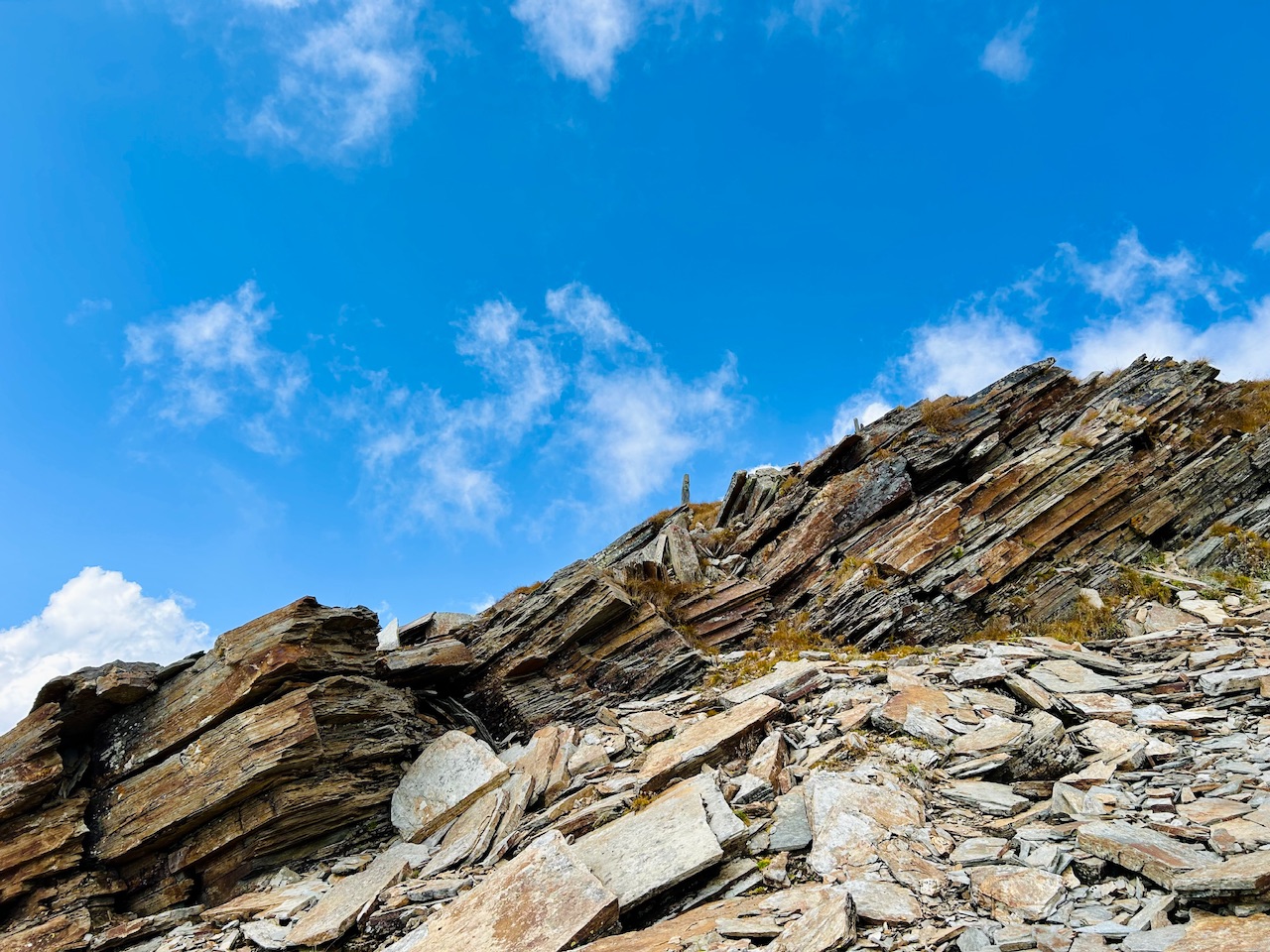
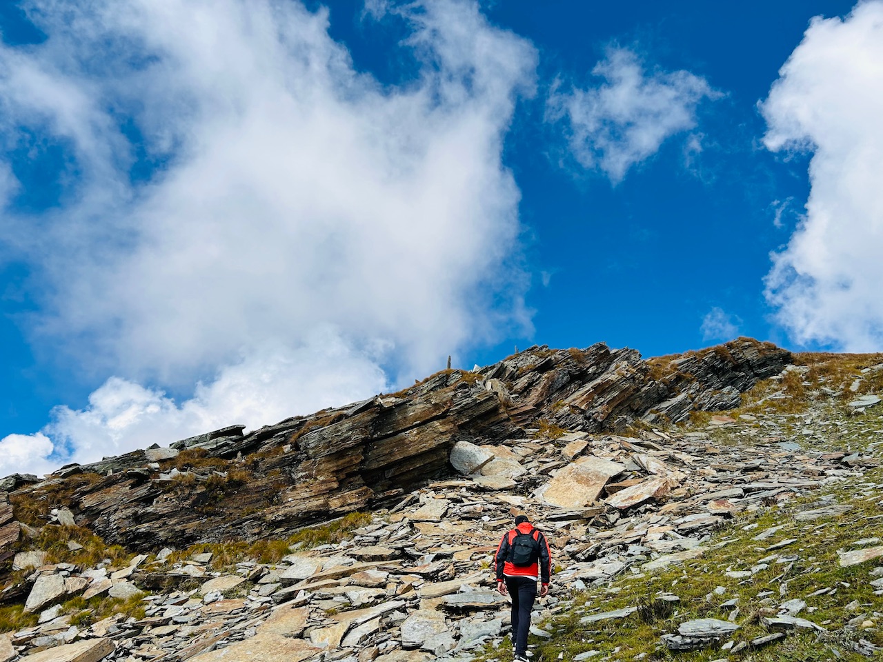
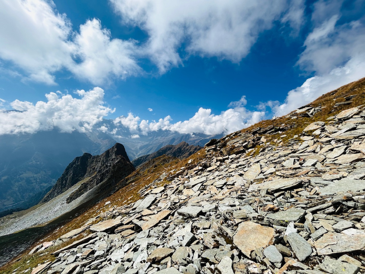
As the client was getting difficult, so few of our friends they were left behind, and we were also tired so we waited for them just before summiting the summit.
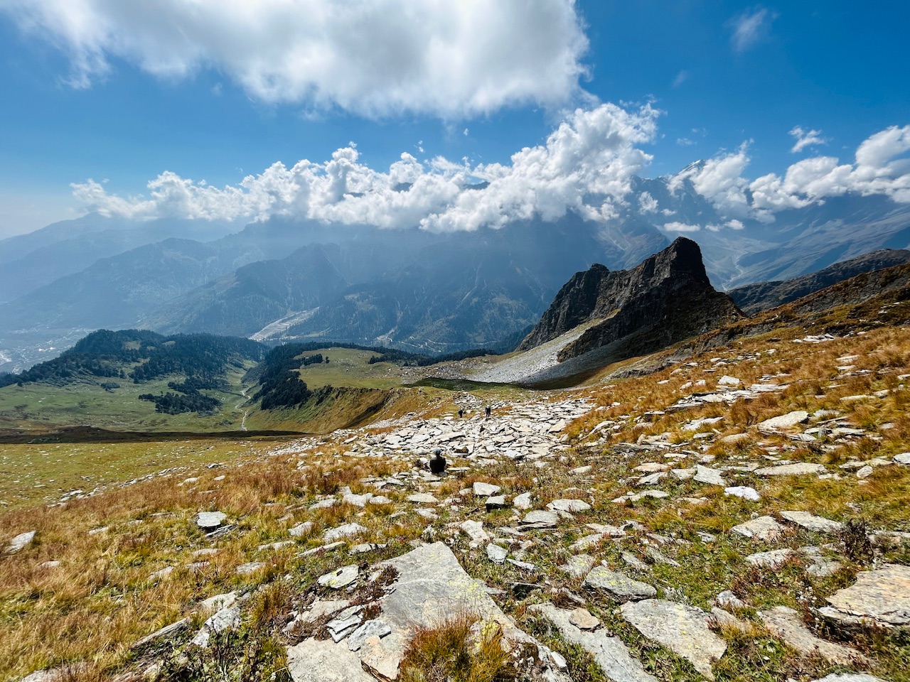
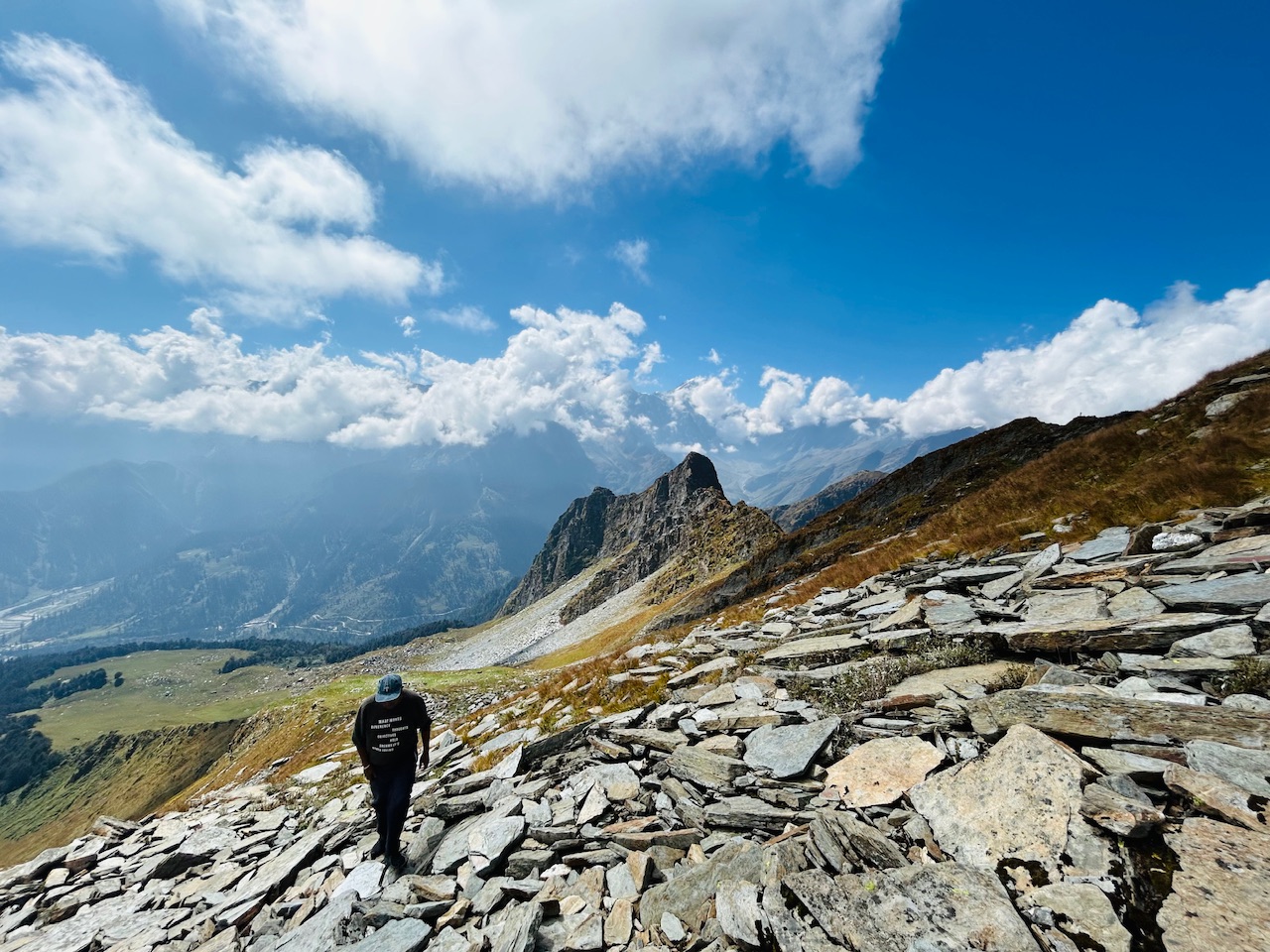
The extreme weather and cold temperatures had made the rocks of this place, cut into many pieces. There was continuous erosion from the snow and the fast wind has also made them look the way they are looking now.
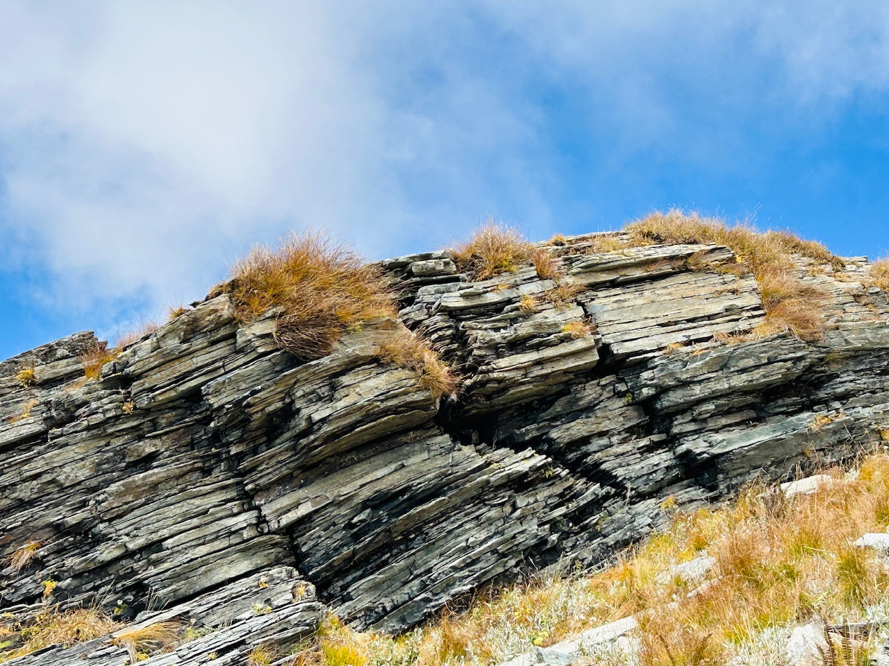
After climbing above those rocks, we were on the winter summit of Patalsu Peak. We could see the foothills of seven sister mountain range and some of the higher mountains like CB 60 and Ghrpan Peak were also visible from there.
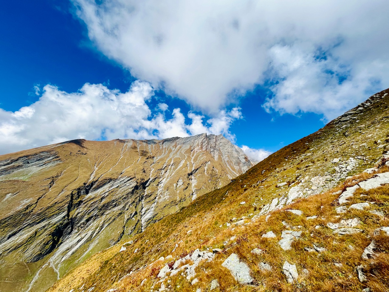
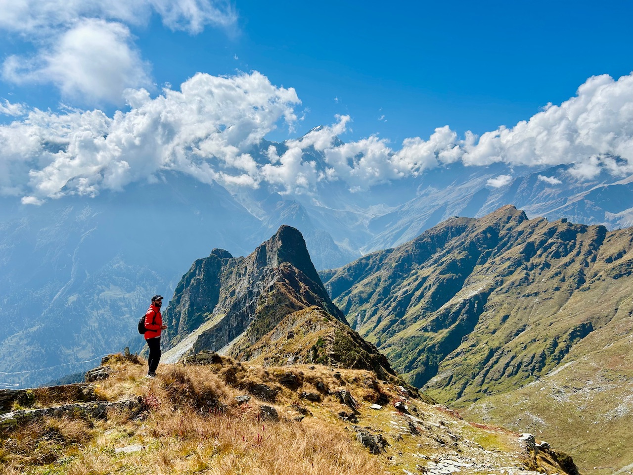
Upon looking down from there, we wonder how much we have travelled in a day and we were feeling proud of ourselves, though we were very tired from the climb, but the views from up there motivated us to even climb up to the actual summit. I’m gonna write about my expedition to actual summit in next blog.
That’s all for today.
Thanks for passing by.
Peace ✌️

Hello! Thank you very much for posting in the Worldmappin Community 😃.
We noticed that you included more than one PIN code in the post. This is not necessary and can lead to double pinning. If you are writing about a trip with different points of interest, it is advisable to indicate only one PIN of the most important place or central location.
Double pinning can lead to problems for our curation, so if you keep doing it we can not guarantee you to be considered for our daily Travel Digest.
We recommend that you obtain the code either from https://worldmappin.com/, or by selecting the location directly on the small map at the bottom of the text editor in the PeakD interface.
If you have any questions, please do not hesitate to contact our team on our Discord channel.
Cheers!
Got it. Thanks for letting me know!
You are welcome @parvkhuller. Thanks for your understanding.
Hiya, @lauramica here, just swinging by to let you know that this post made it into our Top 3 in Travel Digest #2365.
Your post has been manually curated by the @worldmappin team. If you like what we're doing, please drop by to check out all the rest of today's great posts and consider supporting other authors like yourself and us so we can keep the project going!
Become part of our travel community:
Beautiful like ants in a barren field☺️
Congratulations @parvkhuller! You received the biggest smile and some love from TravelFeed! Keep up the amazing blog. 😍
Thanks for using TravelFeed!
@for91days (TravelFeed team)
PS: Did you know that we have our own Hive frontend at TravelFeed.com? For your next travel post, log in to TravelFeed with Hive Keychain or Hivesigner and take advantage of our exclusive features for travel bloggers.
You can check out this post and your own profile on the map. Be part of the Worldmappin Community and join our Discord Channel to get in touch with other travelers, ask questions or just be updated on our latest features.
Congratulations, your post has been added to the TravelFeed Map! 🎉🥳🌴
Did you know you have your own profile map?
And every post has their own map too!
Want to have your post on the map too?
- Go to TravelFeed Map
- Click the create pin button
- Drag the marker to where your post should be. Zoom in if needed or use the search bar (top right).
- Copy and paste the generated code in your post (any Hive frontend)
- Or login with Hive Keychain or Hivesigner and click "create post" to post to Hive directly from TravelFeed
- Congrats, your post is now on the map!
PS: You can import your previous Pinmapple posts to the TravelFeed map.Opt Out
What a spectacular view and what beautiful photos, I loved photo number three, that would be me also admiring that great mountain.
Thanks for your kind words ❤️
Wow some really beautiful pictures my friend, have a nice day 🤗
Really majestic sights! The landscape is beautiful and have unique rock formations in pieces as you’ve mentioned. Thank you for sharing.
Congratulations @parvkhuller! You have completed the following achievement on the Hive blockchain And have been rewarded with New badge(s)
Your next target is to reach 1500 upvotes.
You can view your badges on your board and compare yourself to others in the Ranking
If you no longer want to receive notifications, reply to this comment with the word
STOPCheck out our last posts: