Julley Everyone,
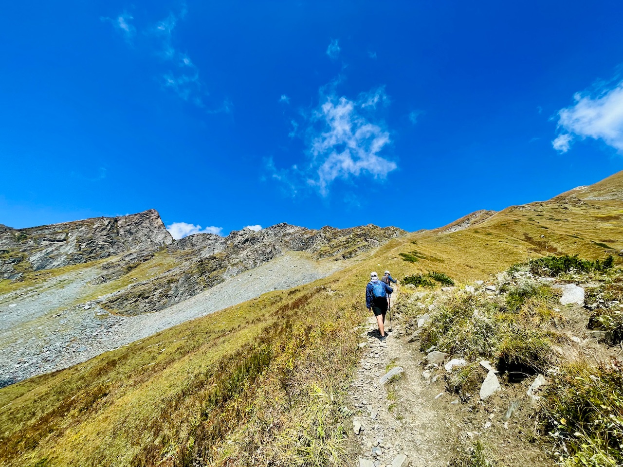
A beautiful day out here in the Himalayas, as we were wondering the mountain peaks of the end of Pir Panjal Range, it was really a wonderful moment guys. A wonderful opportunity that we got to wonder and explore the Pir Panjal range and it was really a wonderful moment guys as we decided to hike the unknown mountain, which was not even known to us, which is not even known to the others who have been to this place.
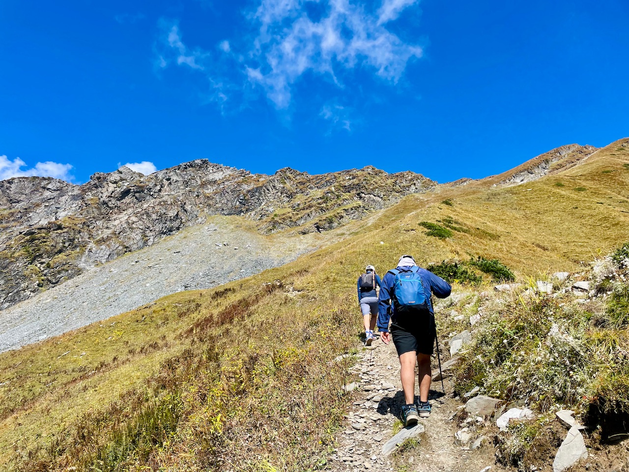
So randomly a thought came into my mind while we were on Patalsu Peak Expedition. We had a thought that we might Summit this mountain.
We can go and reach the summit of this mountain, so we just made a thought a success and finally decided to hike and reach and cover the whole distance of calling it.
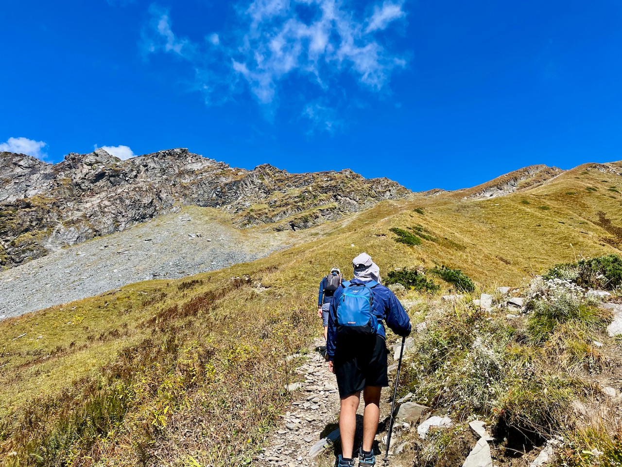
Mt. Dragon Peak.
There were several mountain peaks behind the mountain, forming a sort of the mouth of a dragon, which just in just the first sight, it made me wonder that what to call, so I thought why not call Mt. Dragon that was the name this Mountain Dragon Peak.
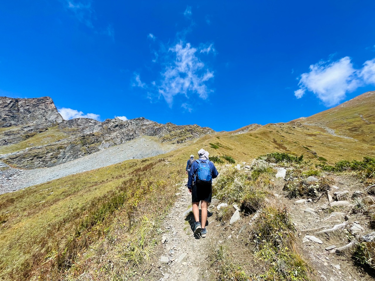
This whole journey and this whole block post is about that how we made it a success and reaching the last stretch of Mt. Dragon. Be something like this as we were closer to the spot for the Himalayan Shepherd and which was somewhat around four hours away from Solan village of Manali.
Here we were wondering the beautiful grassland, the meadows of this unknown paradise. I don’t know what this place was called and what do the trackers hi is this it was really a wonderful moment guys, and really a wonderful place to explore and taste to stay, and I wish that I could stay here for the rest of my life. It was really wonderful place.
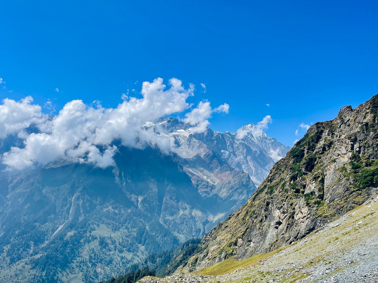
Onto our left side, We could see the whole mountain Range of Pir mountain range and just onto a left hand side. We could see the mountain peaks of Sankar in which were particularly of Lahul and Spiti Region.
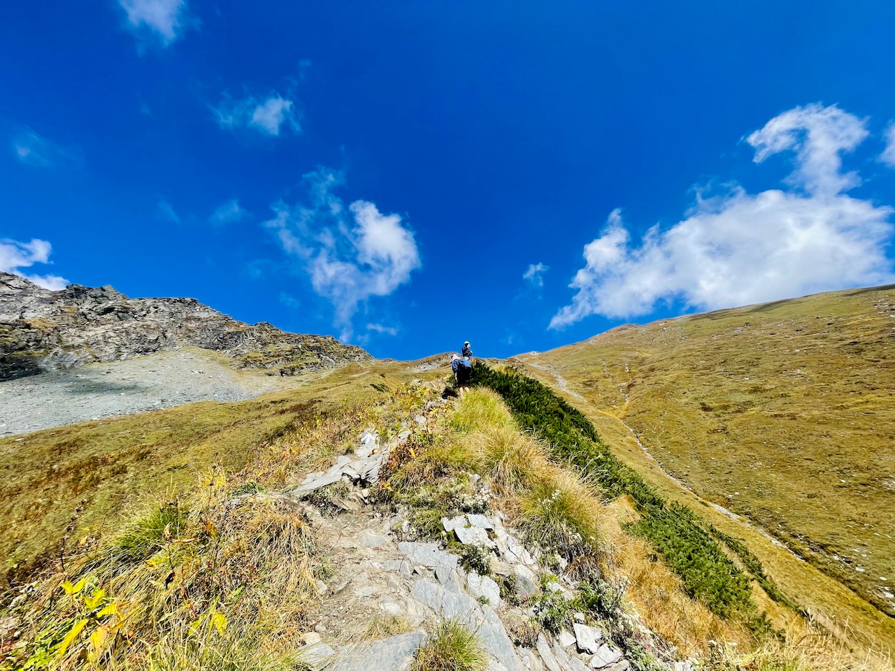
The Spiti region being around 20 to 30 km away from Kullu, which made it a success which made it possible to just cross to Himalayan Valley in just a single day, so the fun fact was that there was a construction of a tunnel which made it a success which made crossing the two valleys possible underneath the mountains through which this long tunnel about 9 km were formed, and that was the main thing and main wonderful moment, I would say even for the local, even for the tourist so that they can commute, and they can cross communicate between the two valleys in just a single day.
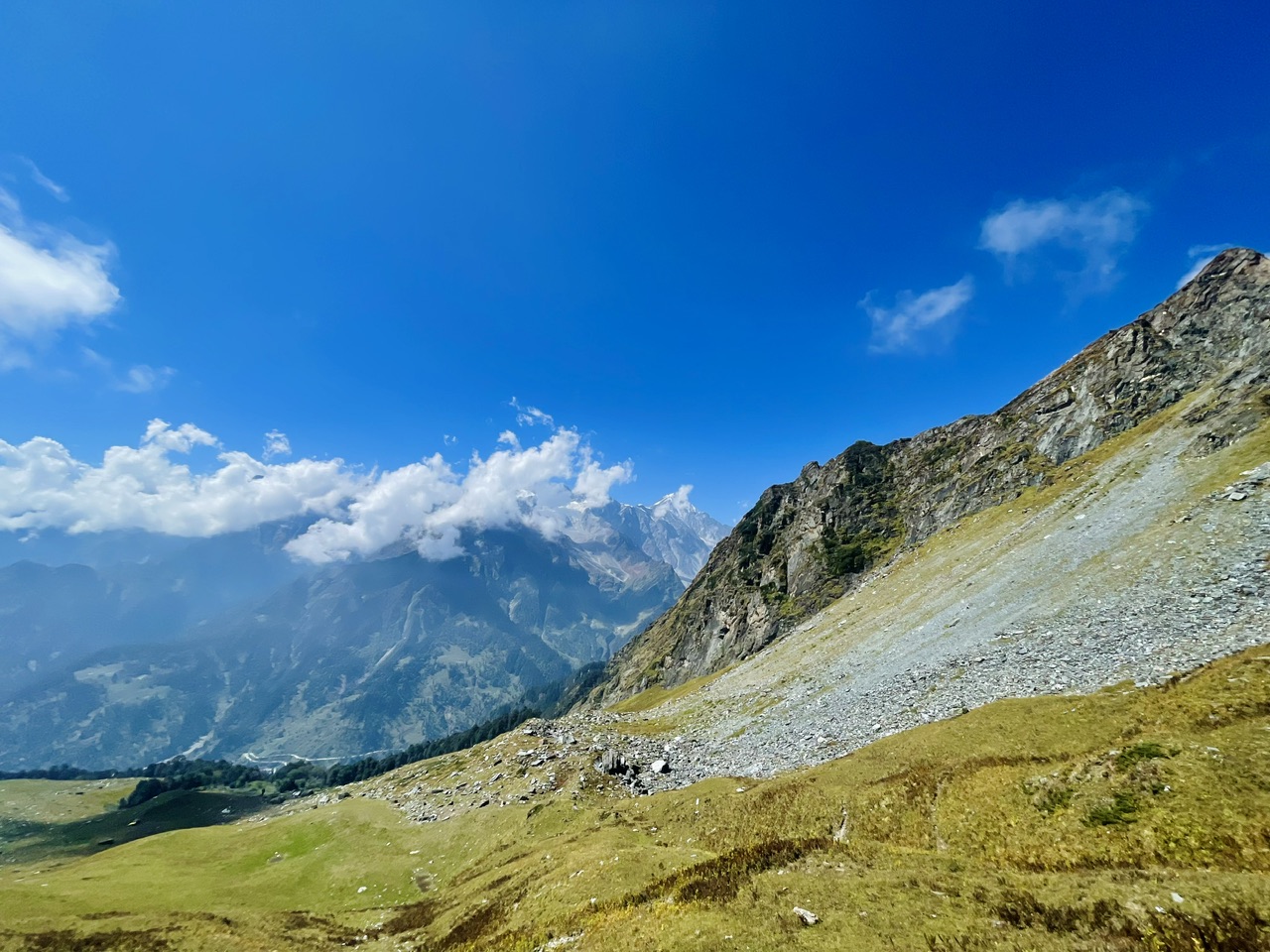
The tunnel was called Atal tunnel and it was before was quite a magical thing and for the locals just before the construction of if I want to go to Lal Valley or other people wanted to go to Labh. It would take around 12:12 hours, so it was like we need to press the whole mountain of Pir Panjal Range and the top of the mountain was called Rohtang pass, so it was a fast between kullu region and the Laul Singh reason so when she reach Rohtang pass in order to reach Rohtang.
It normally just takes around four hours to reach at the top of the mountain and the roads they were crazy. So most of the roads they were filled with snow and snow being more than 10 to 20 feet and like six months half time of the year, the whole row is closed due to the being covered with a thick blanket of snow and it’s not being more than 20 feet early. June the machine that clears the snow clear the snow up and then the road to lay and Ladakh would open up so it was really a time consuming thing, but after the construction of this tunnel, everything just changed and made it a possible thing which is commute to valleys between the ranges and range of lahul and spiti.
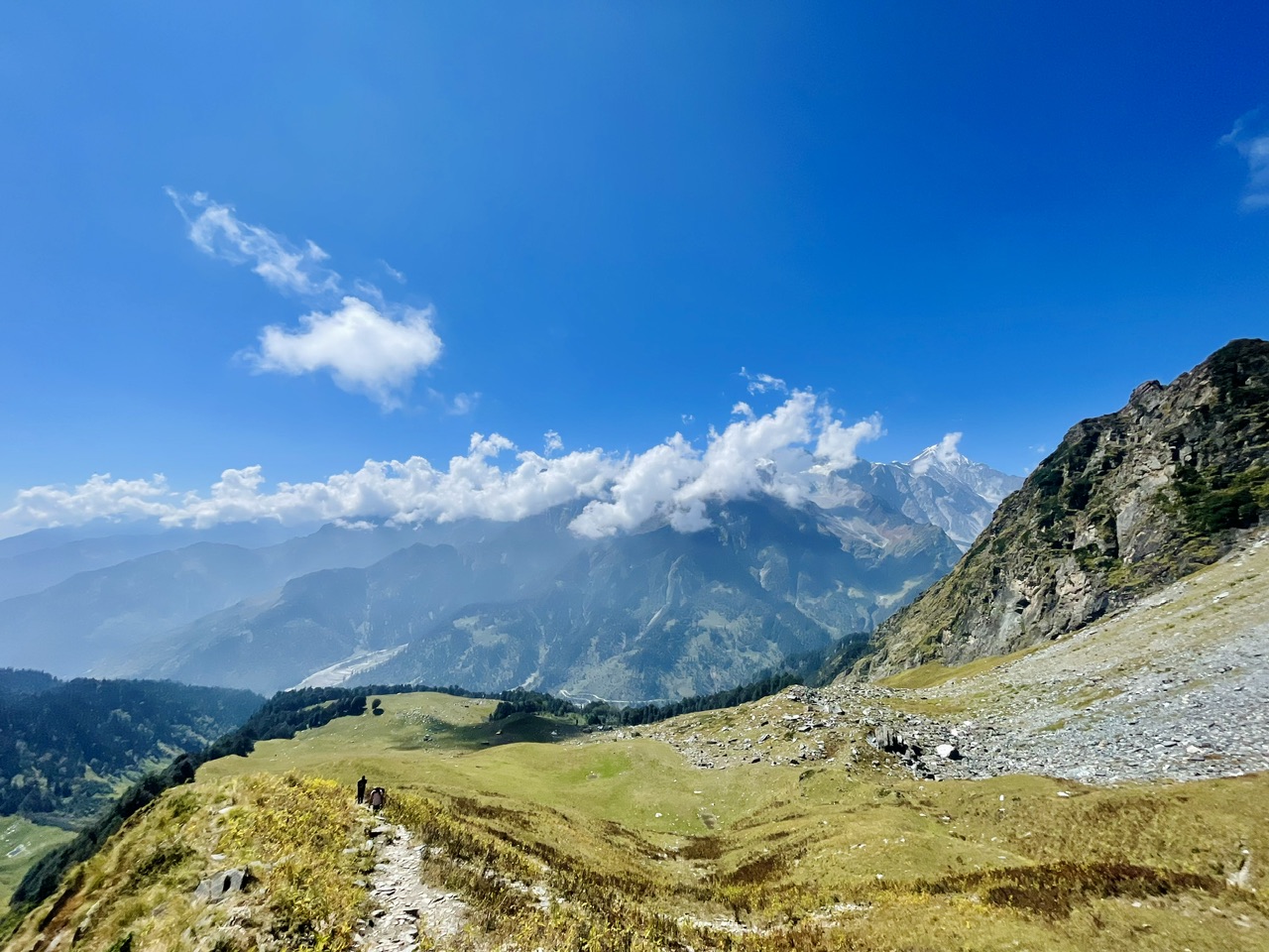
Something like this as it was around 10 AM in the morning, and we could see our destination right in front of us, but as we were getting closer to, it seem like the mountain was going far from us, and I know that it was between the thing that this place was above, NTZ non-tropical zone, no vegetation grows And all we could see was the mountain summit and grassy Meadows so I think that was the main reason why this phenomena seem to us? It looks something like this and something magical.
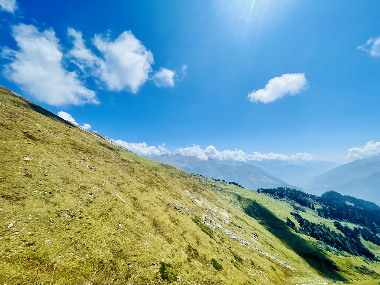
Here we were wondering the unknown sale and reaching the summit of Mt. Dragon Peak. So it was really a wonderful guys were filled up with the most magical view of the whole valley, and it seems like that we were wondering to the sky and to the clouds, and it was a pathway to the heaven. Consider this region to be a stairway to heaven as they beat ancient and flow that depicted this place to be stairway to heaven. He has been hiking for more than four hours till now, but what we could see was that you’re not getting tired at all? Maybe it was a magic in the air or there was some magical that was this place or maybe it was something that we could see these magical heavenly views, which increased our energy and wish me the distance of reach the top of the mountain in just a while.
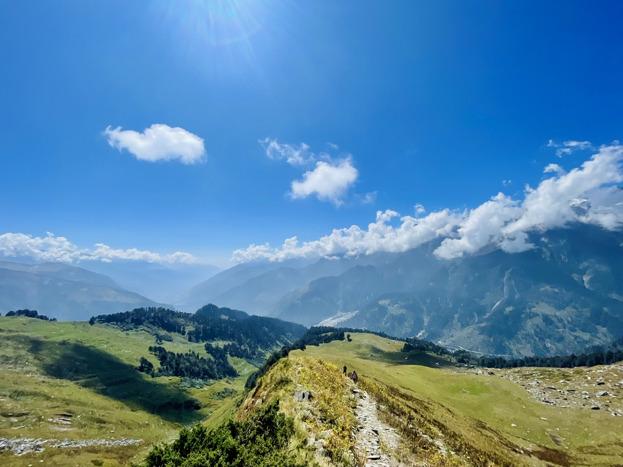
The whole wild look something like this that we had been hiking for more than four hours and I think it would require more four hours to reach at the summit of the Dragon pig. So at this particular moment, we thought that whether is it possible to reach at the summit of the mountain, or nobody knows that what is at the top of the mountain as there would be a rock cliff or steep fall of..
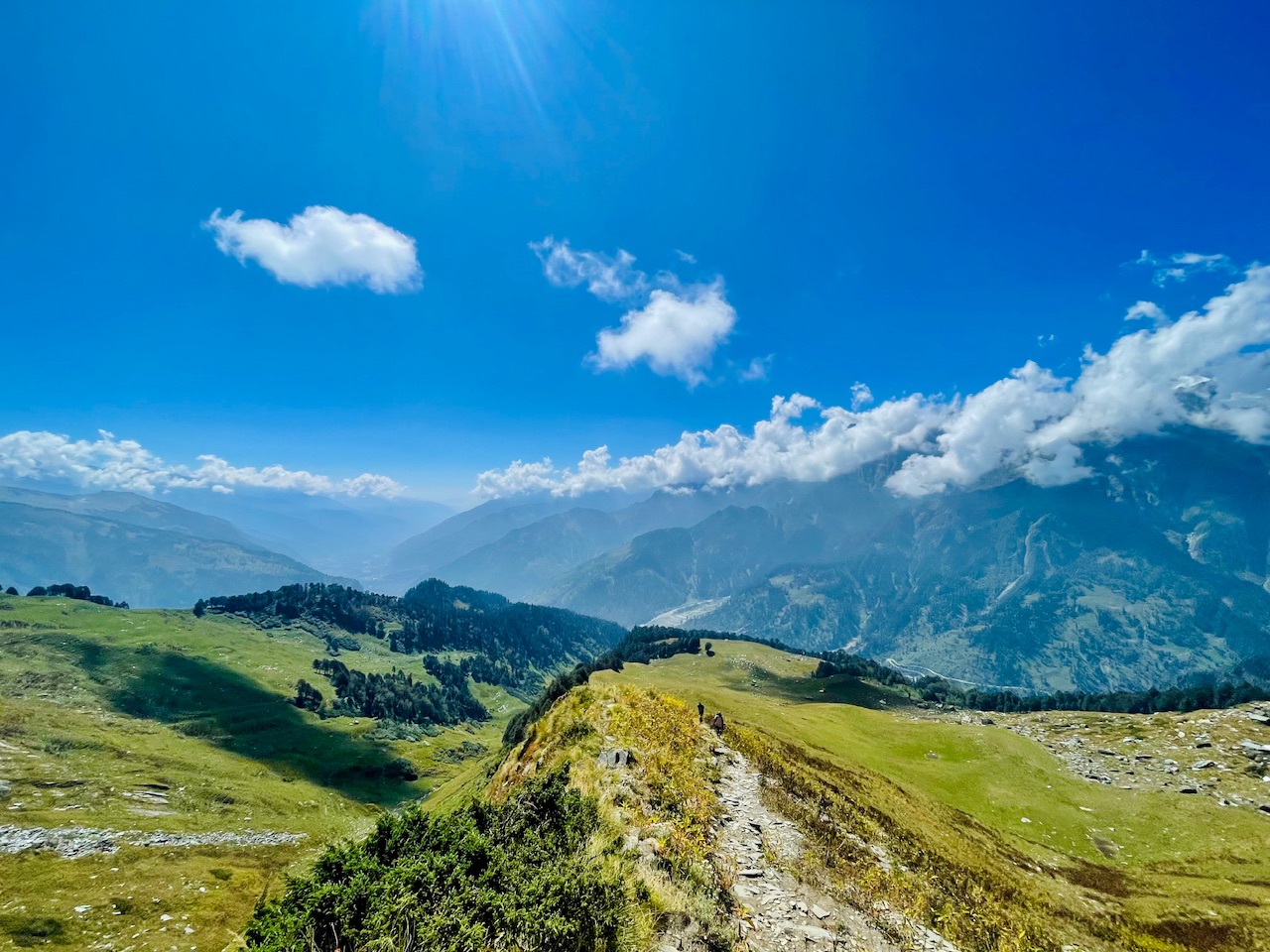
It is at the top of when we reach at the top of the mountain. Either it is a Steve fall or sometimes it is another valley which is the pathway. Once we reached the top of the mountain. Then we need to descend down for a while and then once we decent down for a while, then we can step another valley and it is a sort of magical thing, sort of a thing which makes it easier to reach at the higher mountain show the mountain Valley works something like this, but in most of the cases, the thing is if we reset the top of the valley, and we could see right in front of us that there is a steep downfall, which is the android. We were not even sure about the thing that at what would be at the top of the Mount Dragon as I could see, and it made me know about the feelings that it was a thing and beyond that, I was not sure at all that what is beyond that it could be a T fall, so we had been wondering through the trees and the whole journey look something like this.
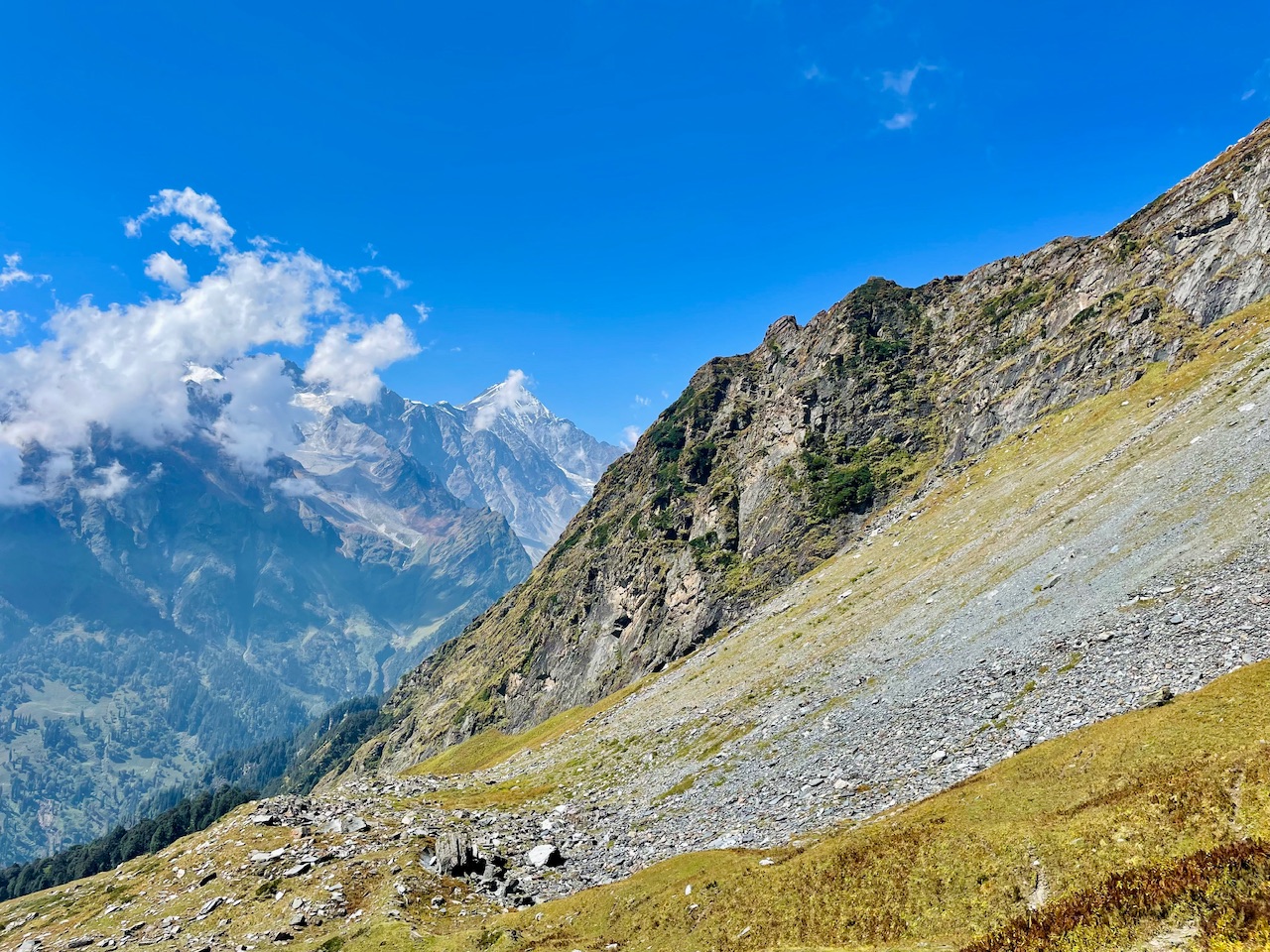
In case of emergencies, the advice that the Shepherd gave us was something which would keep anyone alive at the moment and in such high altitude places in such magical places on earth and the Himalayas.
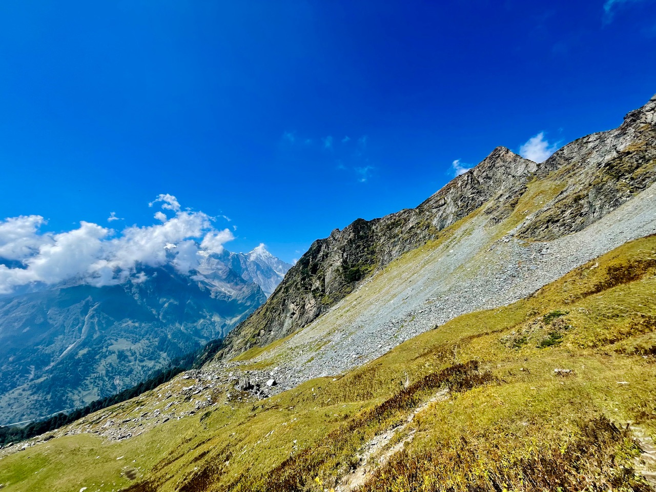
As we covered the distance of, we could see that there was a dry avalanche right onto a left hand side, so the whole avalanche covered up was glacier, which was dry at the moment, and the glacier was filled up with dry rocks, which was broke down due to the snow being over to that place The snowing and climate change just meet this avalanche being so dry and display is being dry before the first snowfall, usually, this whole place is covered under blanket of snow and the snow being more than 20 feet during extreme winters.
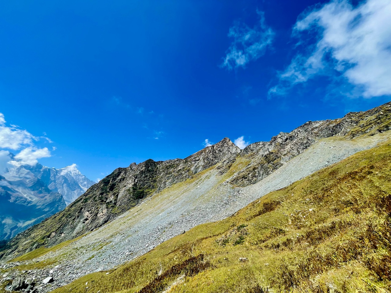
I did not had that much words to say and what to call this place. It was daily something I would call heaven. We could literally see the whole world from this place. The whole world which was right in front of the mountains. The trees right below us, and it seemed like that we are such a heavenly place!
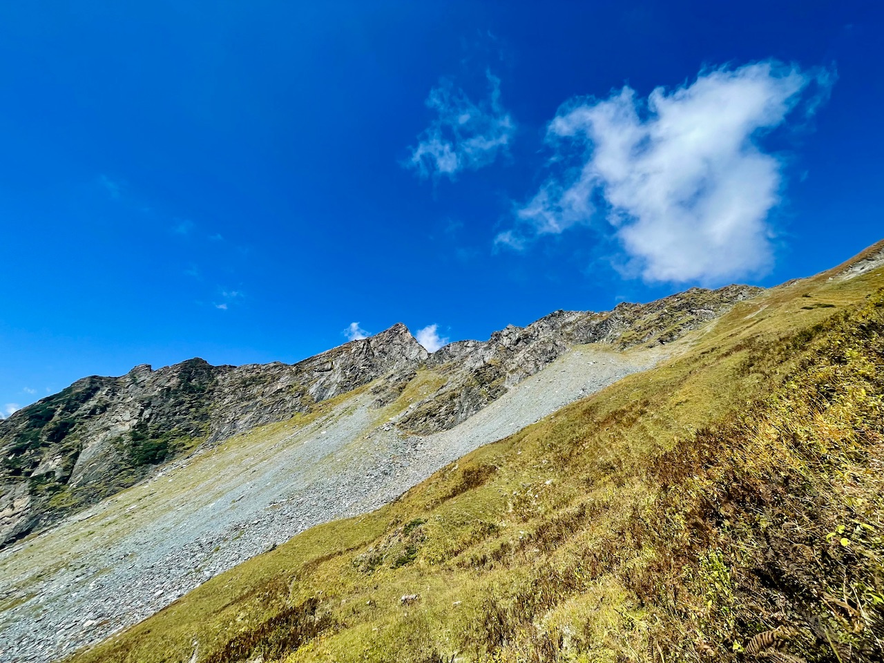
Even the words can’t describe guys that what was the feeling that I have faced at being such a magical capturing as many photographs, so that even I could share those photographs with you guys, and even you guys could get to know about places hitting places on the Himalayas and you guys experience the hidden beauty of place.
That was something in which we believed in, and we finally made this expedition of success, though we did not make it out till the top of the Mount Dragon peak as the Dragon was getting fire and fire from us, but what we get to know about was that the Dragon peak, which we saw at the moment was The sharp end of the Peer Punjab range and it was just a mountain enclave so the highest point to which we could go was the one which you guys can see in these pictures, so we could see the sum of the mountain right in front of us and the whole view. Look something like this, it was really a magical and wonderful moment. We enjoyed the whole journey.
The two success for us and success of hiking. This Mount dragon week was for us was not to reach at the Sumit, but for us was to explore and being so, and so closer to the nature and just challenges and challenge ourselves in order to explore the unseen world, capture it, you know that, and even share it with you guys .
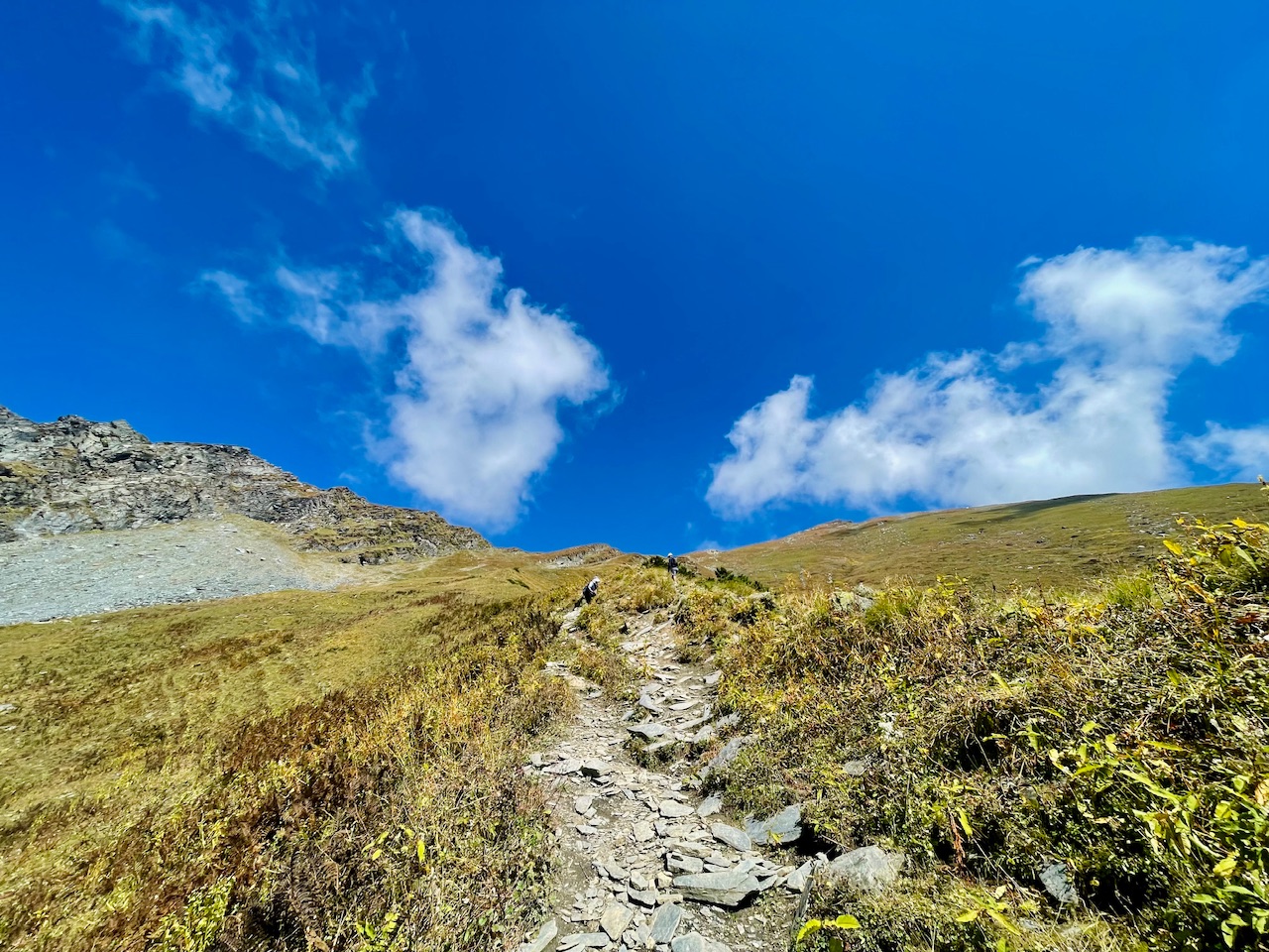
The vegetation beyond the non-tropical zone look something like this. There were these dry bushes and dry grass made up of thick thick blades, and I think that was something which would keep the vegetation alive and made it possible to grow at Sachin Harsh climate condition where this place is covered under the thick blanket of snow and the sunlight which directly shimmers on the ground of this place and says for more than 12 hours a day..
We made this whole hike possible in an Alpine style. I think, which was the only way to make this hike possible spending a night at such high altitude, place and at a place where even it was difficult to find water as this old phase being so and so dry at this particular moment of the year, so I think submitting this mountain peak and approaching it with an Alpine style expedition was something which made it a success.
If we would then the hike in a sort of camping style or expedition style, so we need to force our equipments, and then we need to carry attention, then even the sleeping bags and even the essential items and that to the food and supplies and which would require a lot of porters, and then we might stay here at this place. We can’t even get the medical facility, so I think that was a big question for us, so we decided like why not just for more than 12 to 15 hours a day and just make your soul expedition and success.
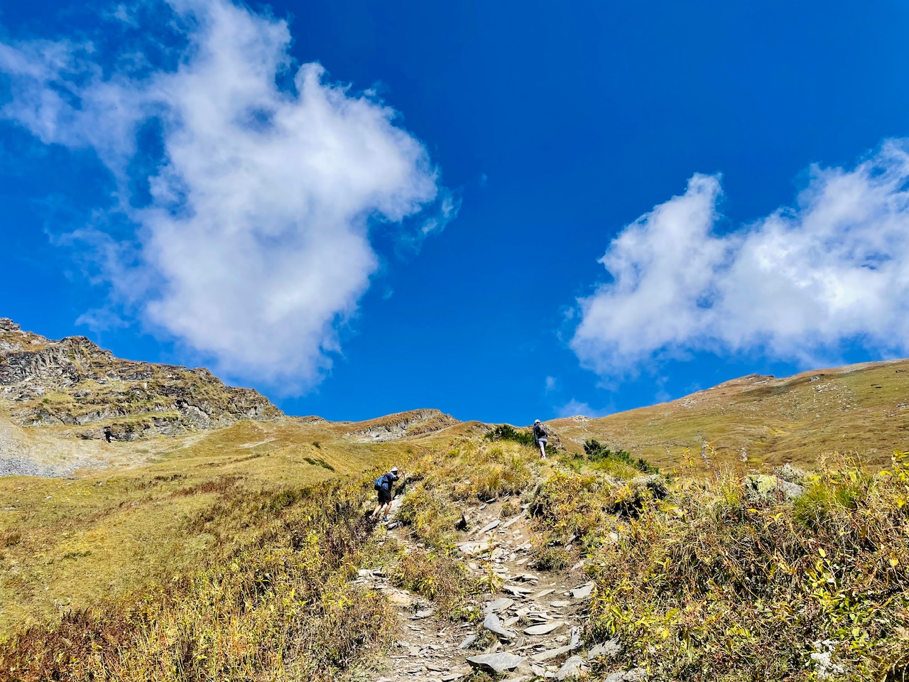
It was maybe the midpoint of a journey and we had covered the whole distance. As of now we could see in these pictures, so the whole sky was right above us. They were these green Meadows and down the town that we could see.
Not sure about the town that we could see in these pictures, but there was something and we were at the moment at an altitude of more than 13,000 feet above the sea level and beyond such an altitude, sometimes face breathing issues Because it’s such an the air is quite thin, which makes it difficult for eye to breathe, but we didn’t feel any sort of symptoms, and we were even eating garlic which is considered as an local himalayan remedy for the people who face altitude sickness, especially in such high altitude places. In such place, I don’t think medical facility could be as quickly as possible.
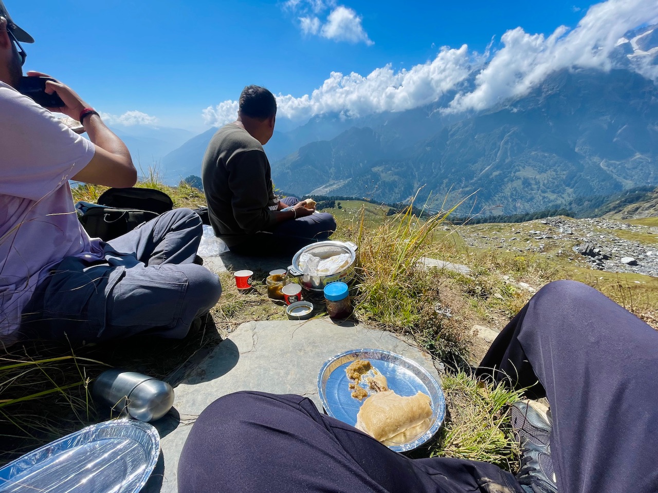
After reaching at the midpoint and getting to know about this place, we got to know that we can’t go further, but instead we can plan something off by hiking towards the left side, which would made us reach at higher altitude than this one, so we decided to take and eat our lunch and eat lunch with such heavenly view.
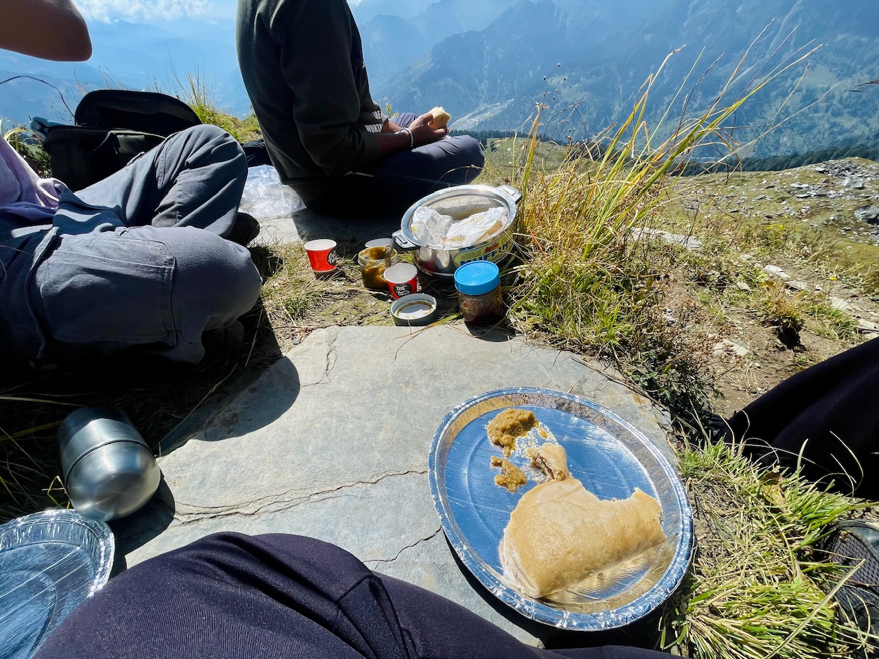
For a lunch, we carried the himalayan do which was a steam door filled up with poppy seeds and dry fruits. I think it’s a best recipe and in most of my expedition hikes and especially the hikes, I used to carry these dishes as it keeps full for a longer time, and it is even easier for us to carry, so I still remember guys that how wonderful the whole lunch at that day with such a magical you look like, and it was something that I particularly wanted to share it with you guys through this post.
We stayed at the place for a while and explore the places nearby, and I will be sharing the journey beyond this and the journey filled up with adventures. I’ll be sharing in my upcoming posts.
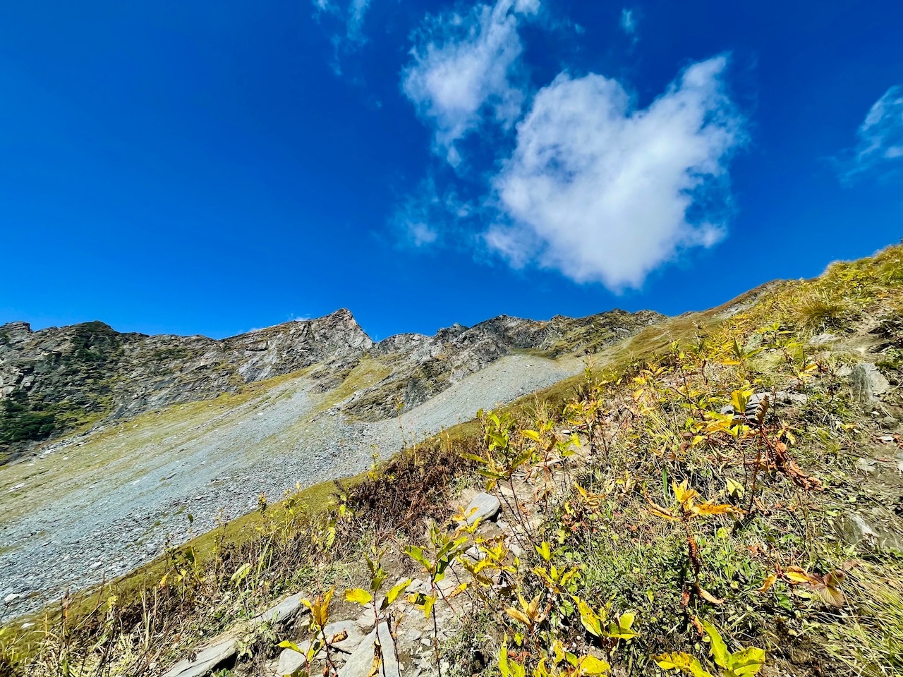
So that’s all for today, guys, I hope you liked it.
Thanks for your precious time. 🙏
Love from the Himalayas. ❤️

You can check out this post and your own profile on the map. Be part of the Worldmappin Community and join our Discord Channel to get in touch with other travelers, ask questions or just be updated on our latest features.
What a great view, I really enjoyed it ❤️
Thanks a lot, thanks for stopping by :)
Beatiful view! and a great photos, thanks for share it with us ✨
Thank you so much for your precious time, so glad that you like the view and like the post. 🙏
Hiya, @ybanezkim26 here, just swinging by to let you know that this post made it into our Top 3 in Travel Digest #2444.
Your post has been manually curated by the @worldmappin team. If you like what we're doing, please drop by to check out all the rest of today's great posts and consider supporting other authors like yourself and us so we can keep the project going!
Become part of our travel community:
Thanks a lot @ybanezkim26 @worldmappin so glad that I made it to the Top 3. 🙏 Means a lot... And many congratulations to the others too for the amaing mosts mention. 🙏😊
You are very welcome @pranavinaction! it was well deserved. ☀️
Keep up the great work 💪
Congratulations! Your photographs are spectacular, very good image quality!
Thankyou so much 🙏😊
what amazing journey i would visit that place someday :D
Thanks a lot 🙏 I wish that you too should explore Himalayas.