I welcome all travelers, whether real or virtual, to the next continuation of the notes from my travels along the St. James's Way through Switzerland. Today's episode is going to be really packed. Which is proven. By the large number of photos I took in one day. With which I now will share with you.
Vítám všechny cestovatele, ať už reálné či virtuální u dalšího pokračování zápisků z mých cest po Svatojakubské stezce skrze Švýcarsko. Dnešní díl bude opravdu nabitý. Což dokazuje na můj vkus velké množství fotografií, které jsem během jednoho dne pořídil. Se kterými se s Vámi teď podělím.
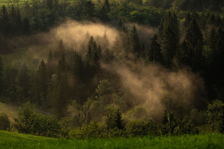
I survived the night's storm unscathed, although for a moment I was afraid of the roar that began to be heard near my shelter after the huge rushes of water. During the morning survey of the place where the sound was coming from at night, there was a tiny stream that flooded quite a bit, but luckily it didn't endanger me. After I set off, which was a little before sunrise, I climbed to the plateau, from where there was a view of the wide area. Which I took advantage of for morning photography, when the freshly risen sun peeked through the dark clouds.
Noční bouři jsem přežil bez úhony, i když jsem se v jednu chvíli obával hučení, které se po obrovských přívalech vody začalo ozývat nedaleko mého přístřešku. Při ranním průzkumu místa odkud zvuk v noci vycházel. Byl zde malinkatý potůček, který se dosti rozvodnil. Ale naštěstí mě neohrozil. Poté co jsem vyrazil na cestu, což bylo lehce před východem slunce. Jsem vystoupal na náhorní plošinu, odkud byl výhled do širokého okolí. Čehož jsem využil k rannímu focení, když čerstvě vyšlé slunce prokouklo skrze temné mraky.
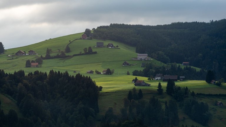
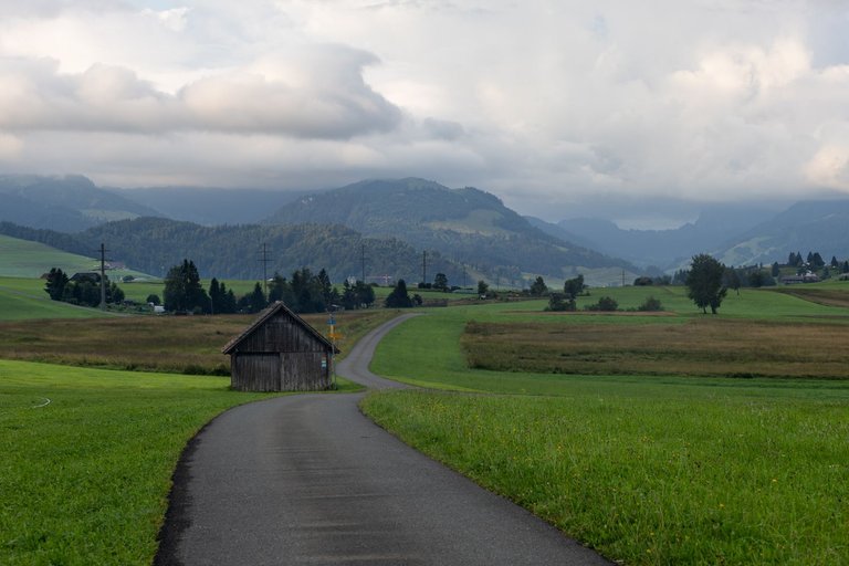
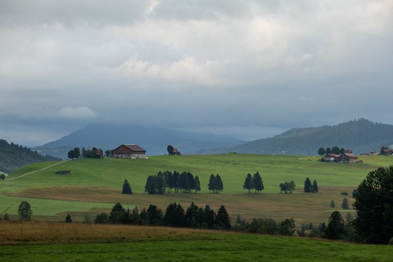
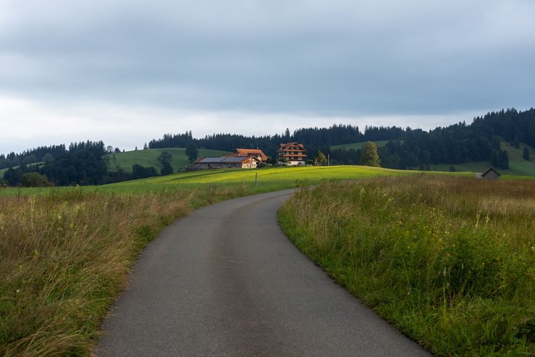
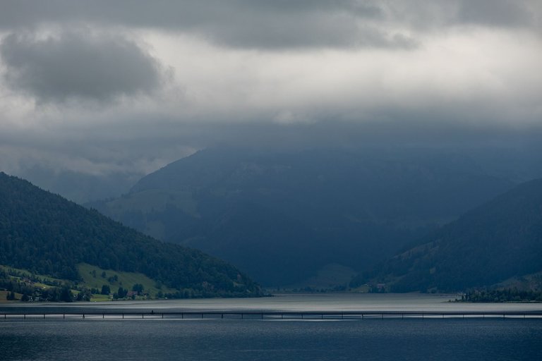
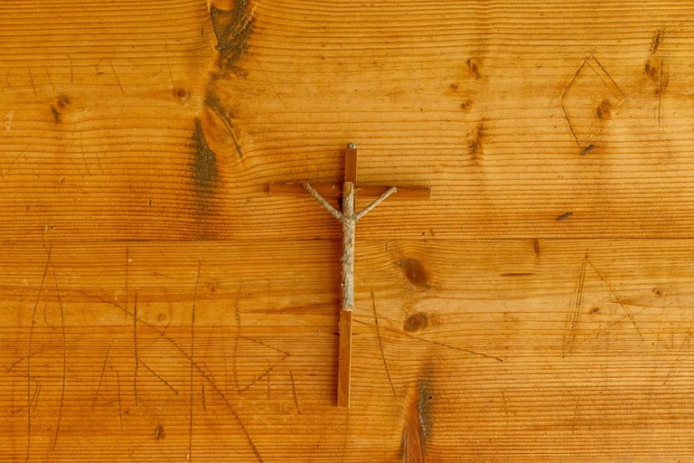
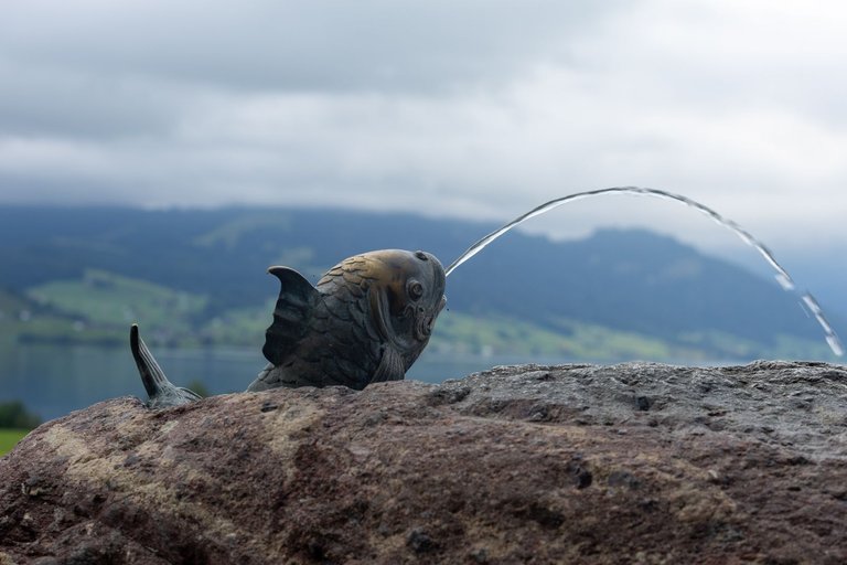
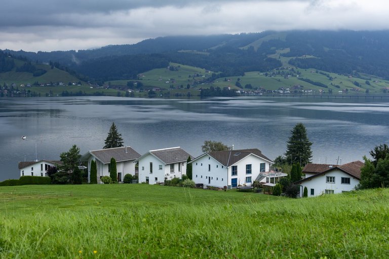
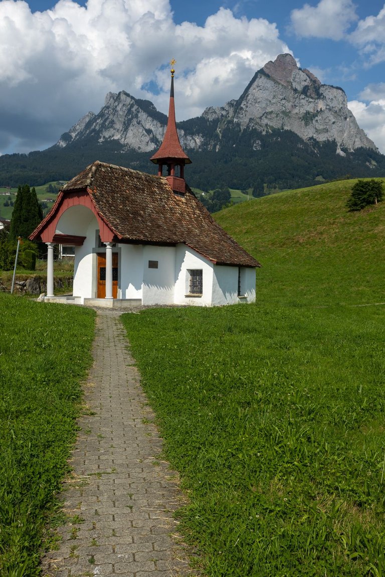
When I arrived at the edge of the plateau, the view of Lake Sihlsee opened up. I replenished the water supply at the nearby chapel. I looked at the collection of crucified Jesus and continued on to the town of Einsiedeln.
Když jsem dorazil na okraj plošiny, otevřel se mi pohled na jezero Sihlsee. U nedaleké kaple jsem doplnil opět zásoby vody. Prohlédl si sbírku ukřižovaných Ježíšů a pokračoval dále k městu Einsiedeln.
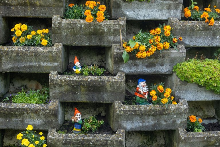
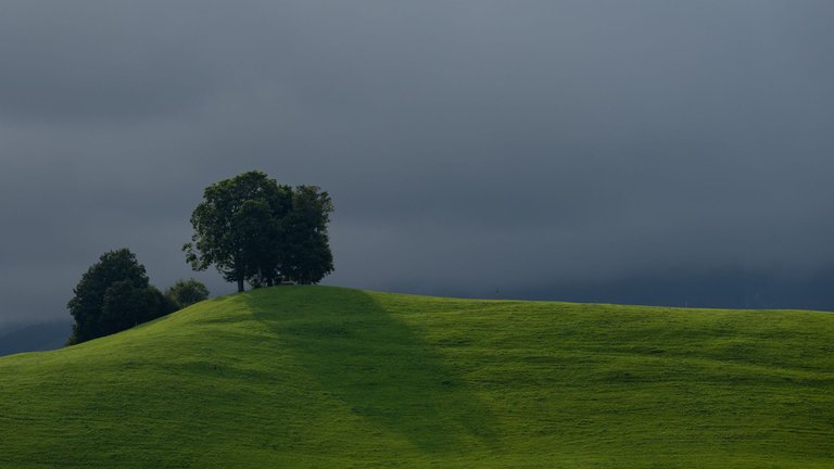
On the outskirts of the city lies a huge Benedictine monastery. Which is the main tourist attraction in the city. At the time of my visit, the main square was lined with stands because a theater festival was taking place there. So I couldn't take a picture of the baroque church from the front. Like I did at the old school building.
Na okraji města leží obrovský Benediktinský klášter. Který je hlavní turistickou atrakcí ve městě. V době mojí návštěvy bylo hlavní náměstí zastavěno tribunami, protože zde probíhal divadelní festival. Takže jsem nemohl vyfotit barokní kostel z přední strany. Jako jsem to udělal u staré školní budovy.
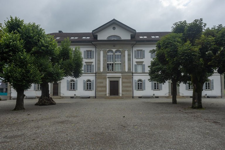
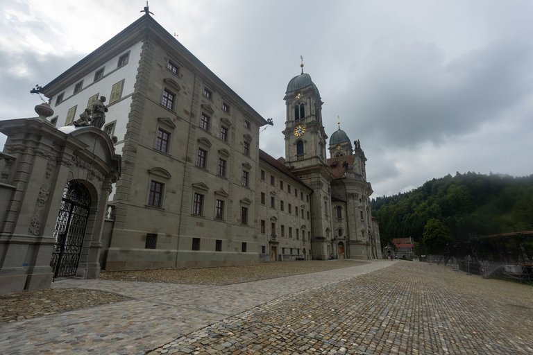
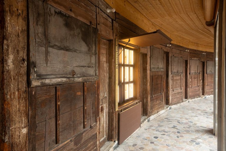
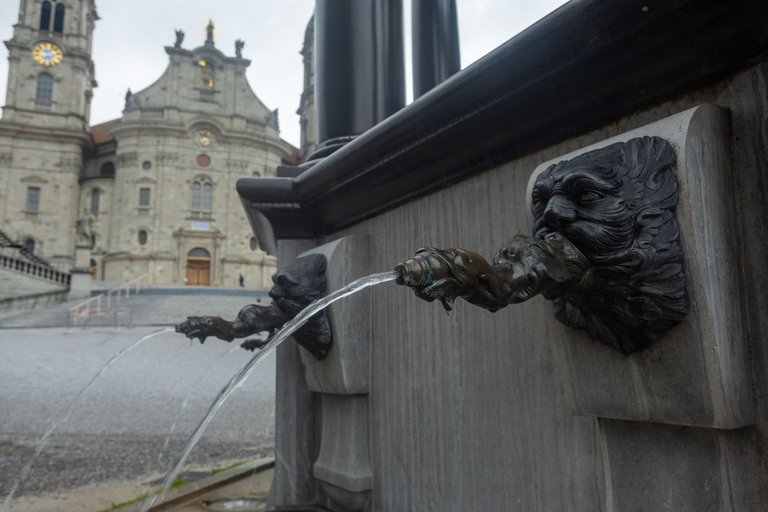
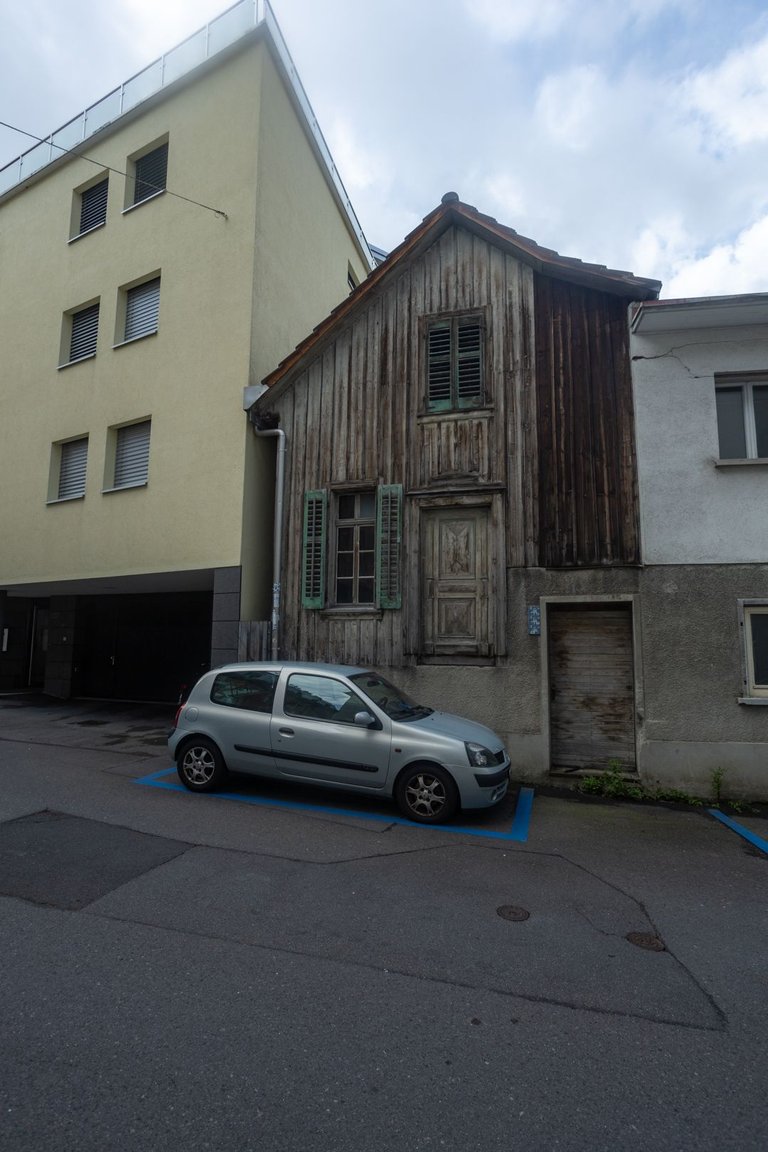
I then headed into town to resupply as I didn't know how the stores would go on as I was about to start climbing into the higher mountains. While traveling through the city, I was once again amazed at how it is possible to combine the old development with the new.
Pak jsem zamířil do města, abych doplnil zásoby, jelikož jsem nevěděl jak to bude dále s obchody. Měl jsem totiž začít stoupat do vyšších hor. Při cestě městem jsem se opět podivoval, jak je možné zkombinovat starou zástavbu s novou.
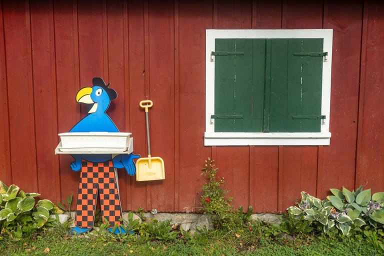
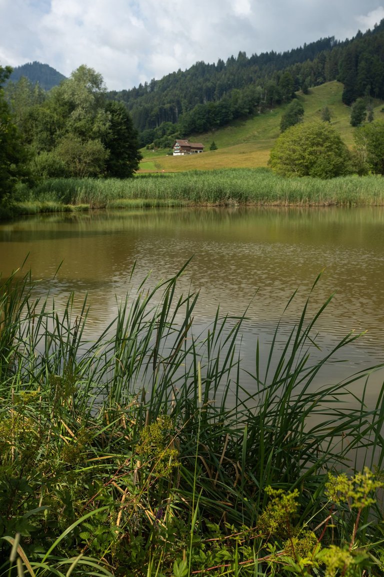
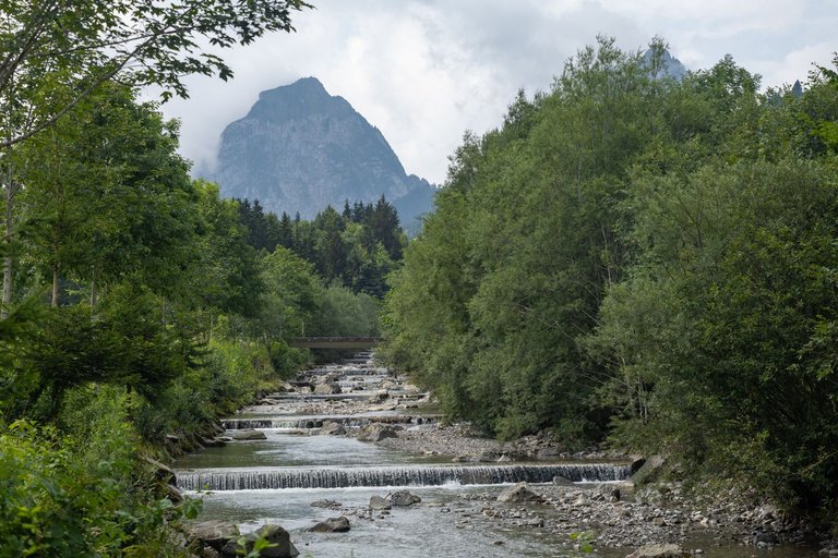
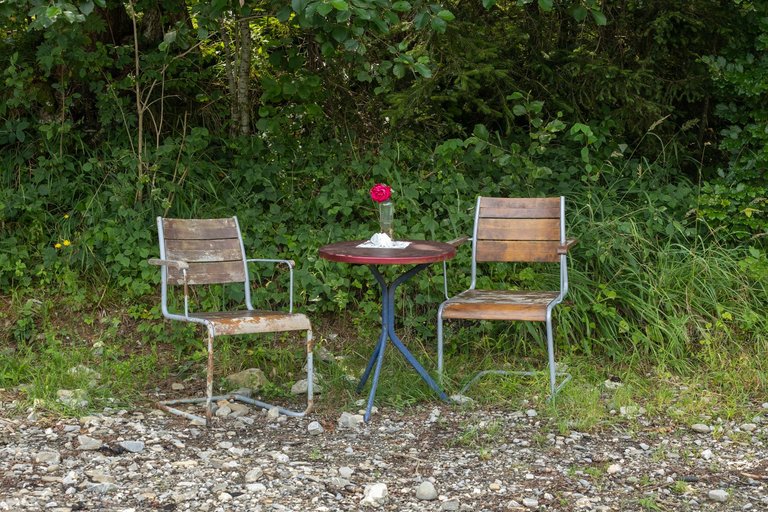
The journey continued through the valley around the river Alp. Not far outside the city lies another monastery called Au. The trail around the river was very pleasant. Plenty of benches to rest everywhere. And when there were no benches. At least there was a table with chairs and a flower.
Cesta dále pokračoval údolím kolem řeky Alp. Nedaleko za městem leží další klášter. Jmenujicí se Au. Stezka kolem řeky byla velmi příjemná. Všude plno laviček na odpočinek. A když nebyly lavičky. Byl zde alespoň stolek s židličkami a květinou.
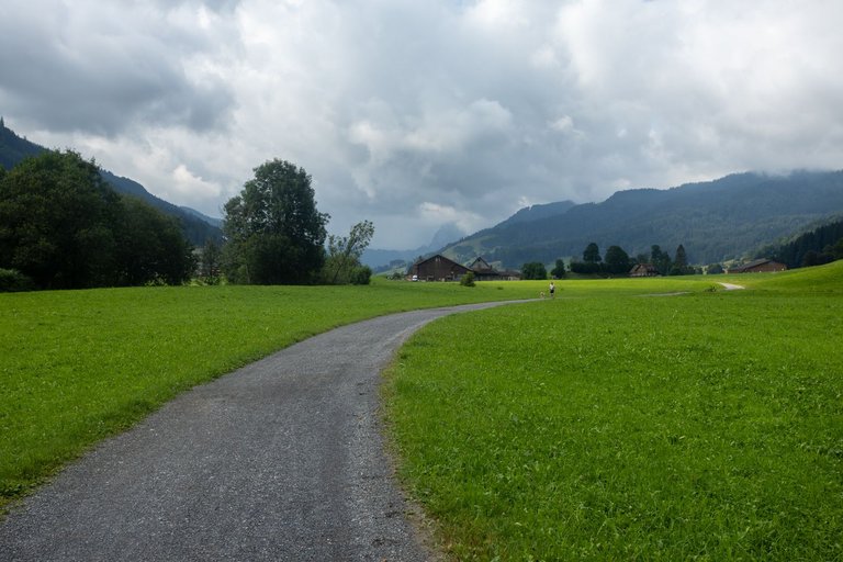
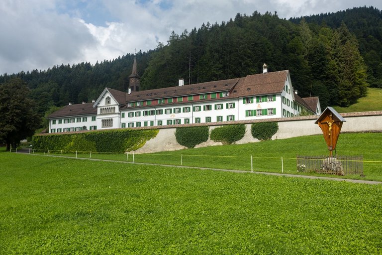
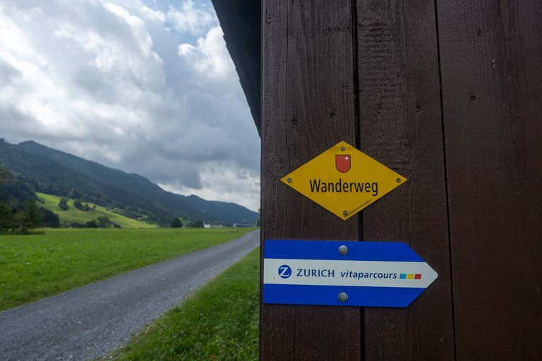
And so it continued, until a village called Alpthal. Where I refilled the water at the local church, which I used up on the way. Then there was nothing left but to cross the river for the last time and start to climb sharply.
A tak to pokračovalo, až do vesnice se jménem Alpthal. Kde jsem opět doplnil vodu u místního kostela, kterou jsem cestou spotřeboval. Pak už nezbývalo nic jiného než naposled překonat řeku a začít prudce stoupat.
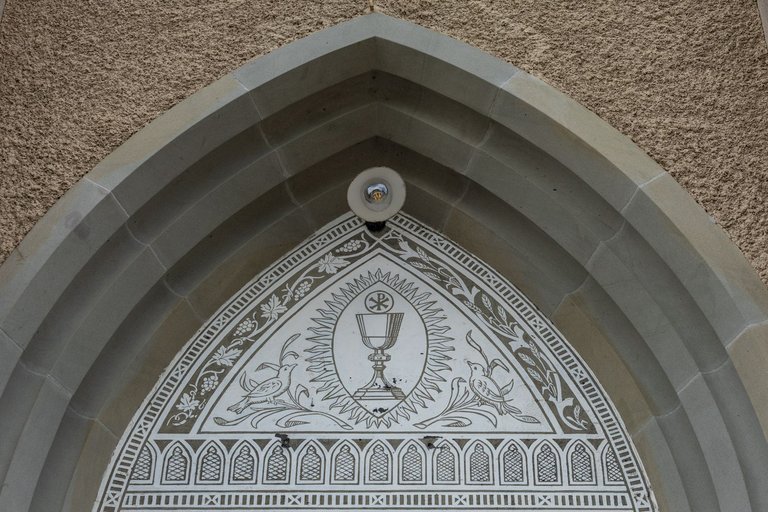
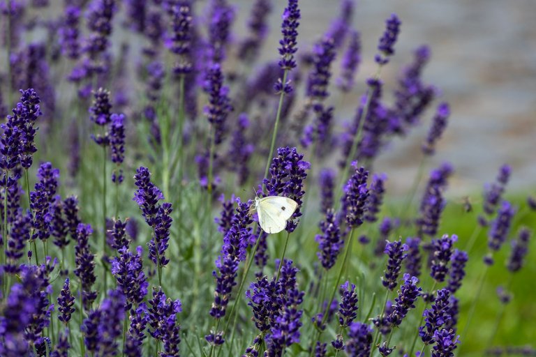
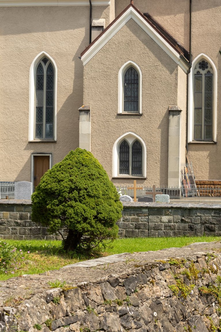
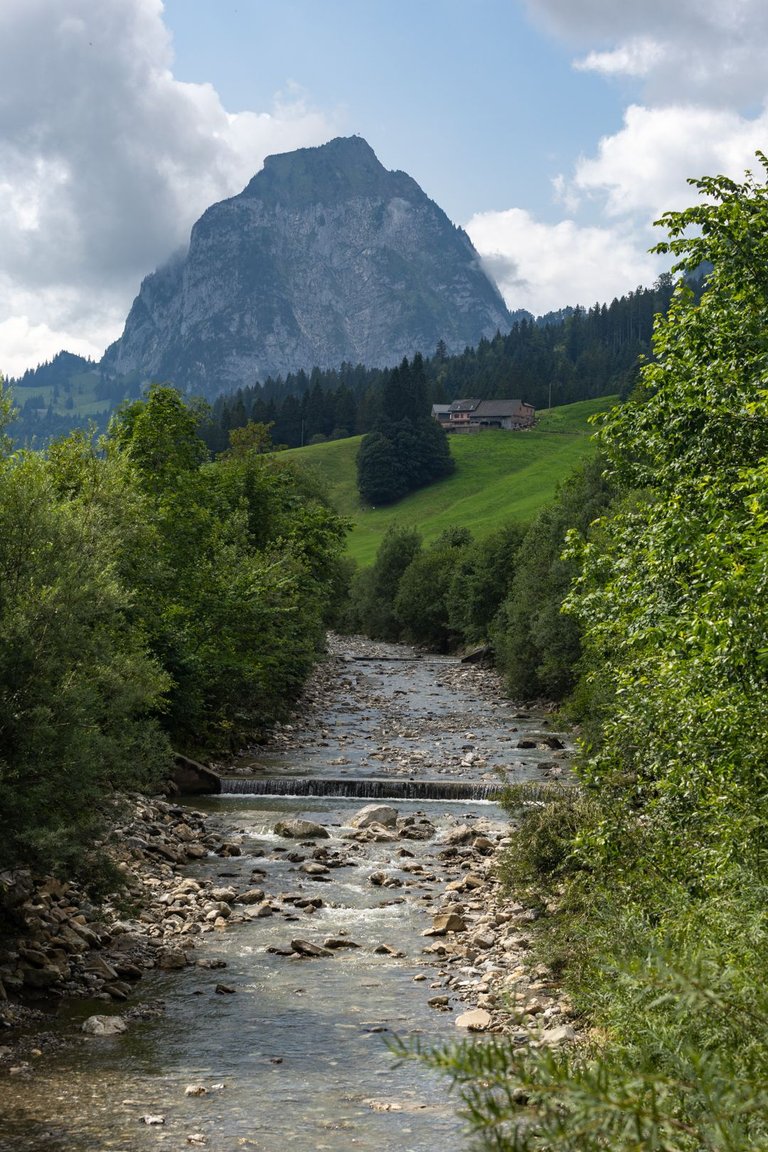
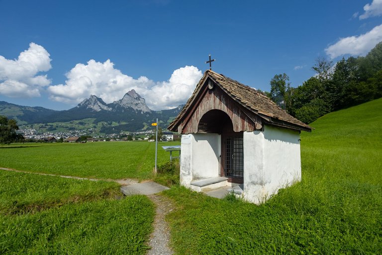
The ascent was quite uncompromising and it was necessary to overcome 400 meters in altitude over three kilometers. Of that, 300 meters were in the first kilometer. So when I reached the little chapel. I topped up the water again because I drank half of it during the hill.
Stoupání bylo dost nekompromisní a bylo nutné překonat 400 výškových metrů na třech kilometrech. Z toho 300 metrů bylo na prvním kilometru. Takže když jsem došel k malé kapli. Opět jsem doplňoval vodu, protože jsem polovinu vypil během kopce.
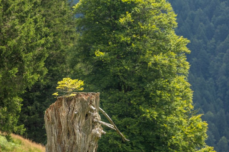
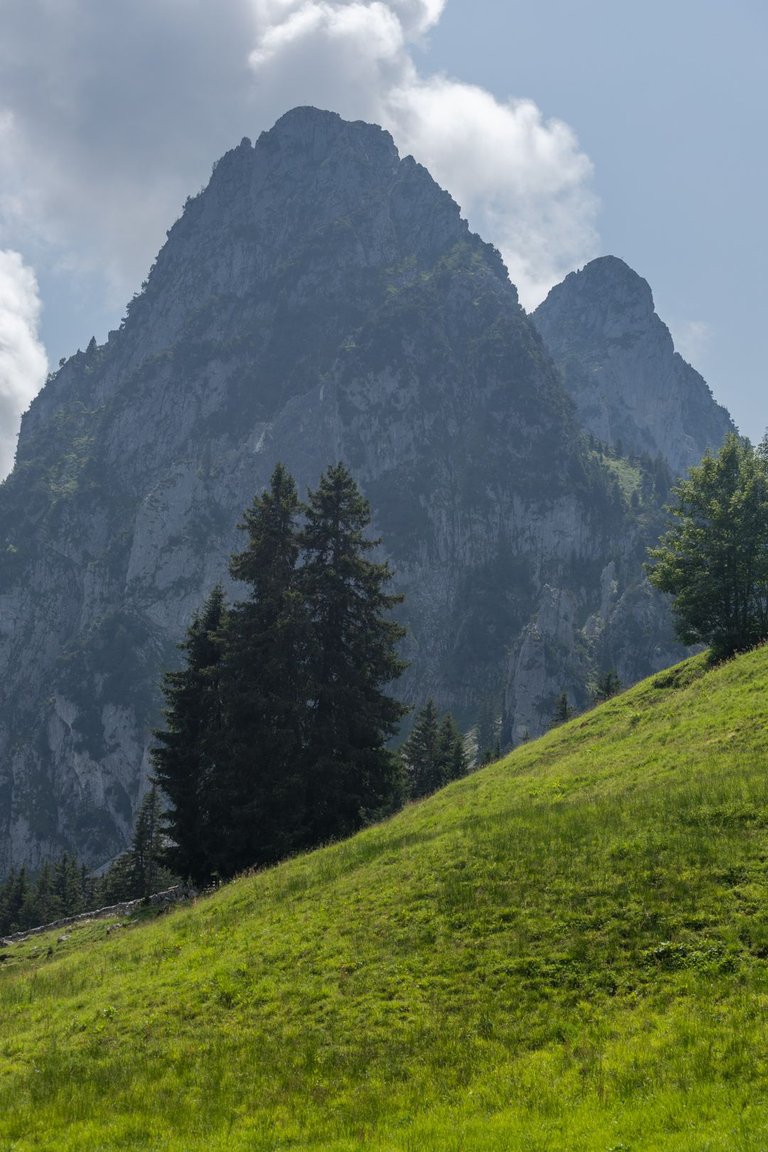
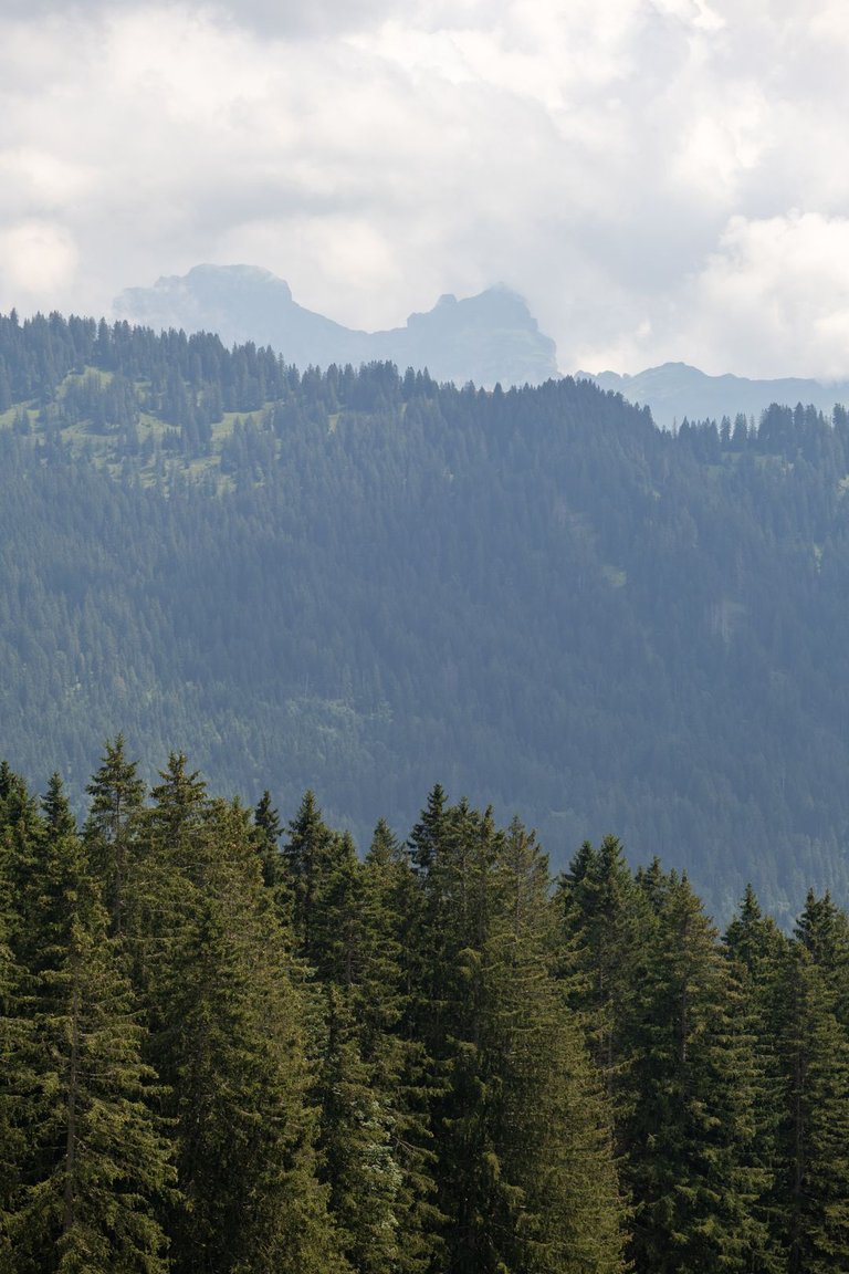
Once I tackled the elevation gain and arrived at the Hagenegg Pass at 1420 meters above sea level. Which was also the highest point that awaited me on the planned trip. Here I decided to have lunch and dry off all the gear that got wet during the overnight storm. The sun and light wind helped me a lot. While doing so, I looked into the distant surroundings.
Jakmile jsem se popral s převýšením a dorazil do průsmyku Hagenegg ve výšce 1420 metrů nad mořem. Což byl také nejvyšší bod co mě na plánované cestě čekal. Zde jsem se rozhodl se naobědvat a usušit veškeré vybavení, které při noční bouřce zmoklo. Slunce a lehký vítr mi dost pomohlo. Při tom jsem se díval do dalekého okolí.
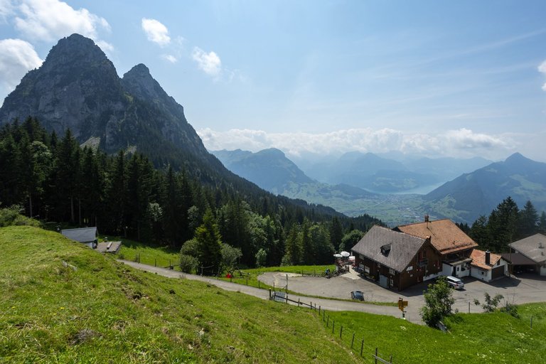
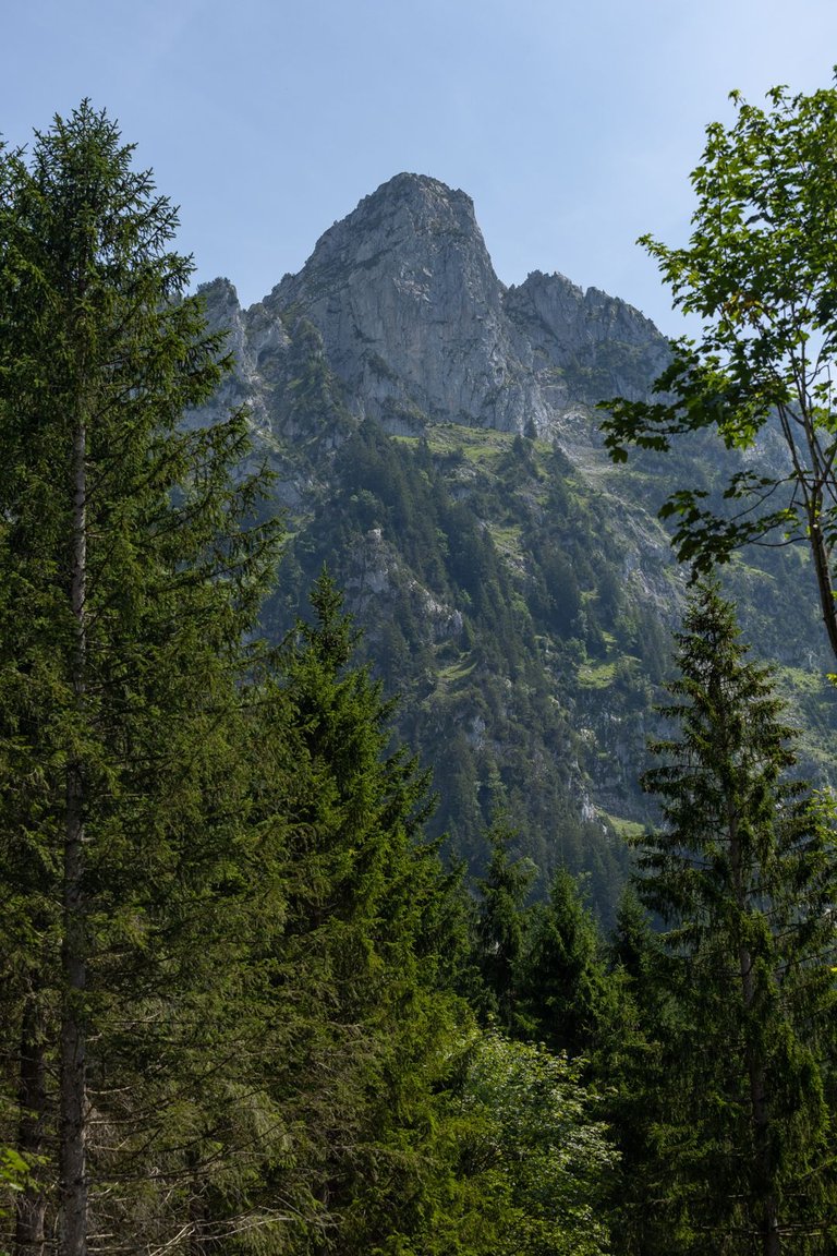
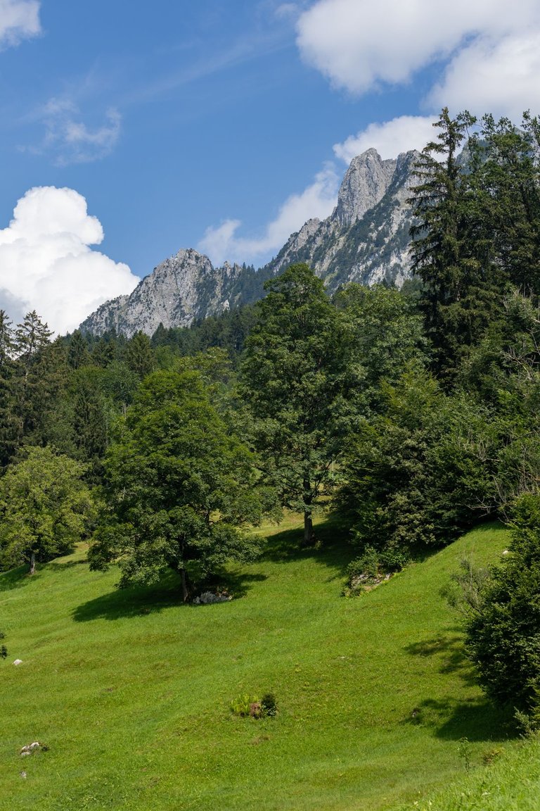
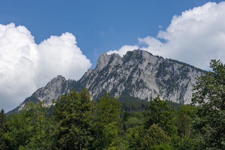
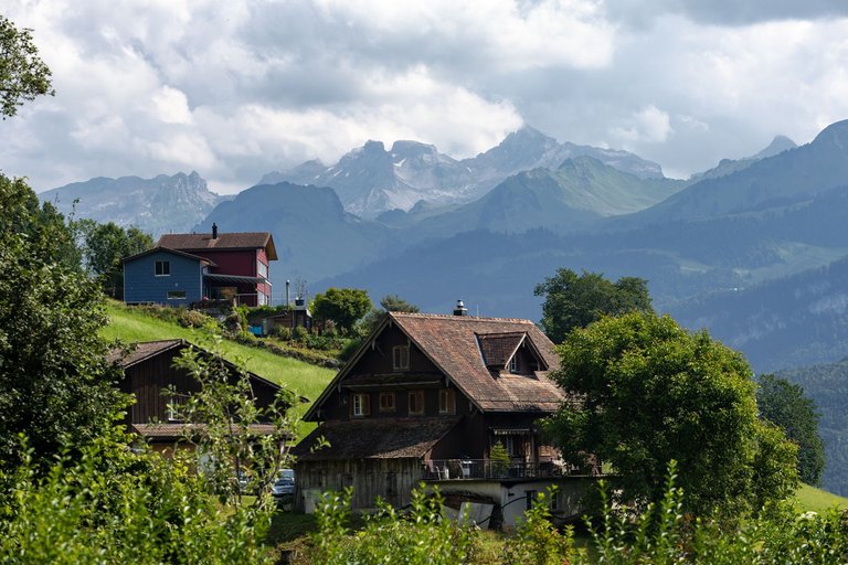
After lunch and drying things. There was nothing left but to hit the road again. This time with a steep descent to the town of Schwyz. It was more pleasant going down the hill and I passed a lot of other hikers along the way. On the way down the hill, I kept wondering why the name of the town seemed familiar to me.
Po obědě a usušení věcí. Nezbývalo nic jiného než opět vyrazit na cestu. Tentokráte prudkým klesáním k městu Schwyz. Dolu z kopce to bylo příjemnější a cestou jsem předešel velké množství dalších turistů. Cestou jsem pořád přemýšlel proč mi název města přijde povědomý.
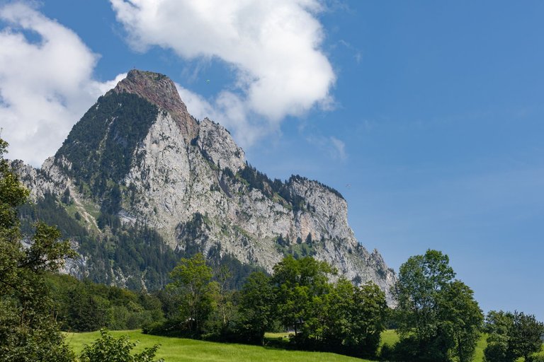
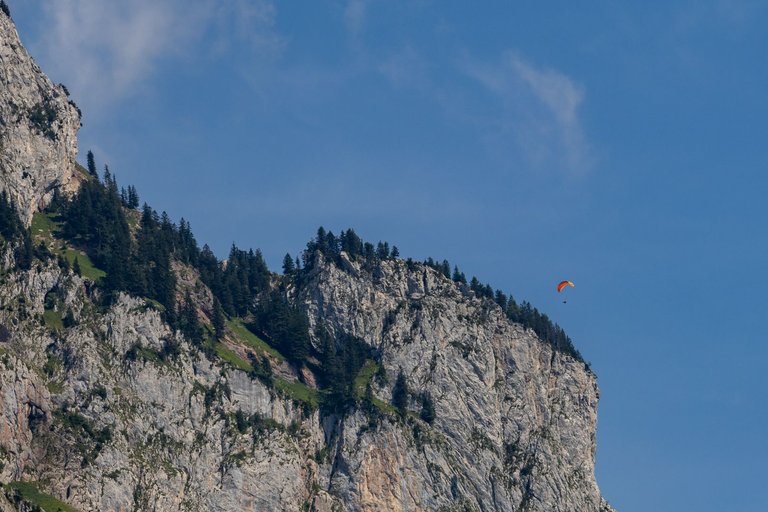
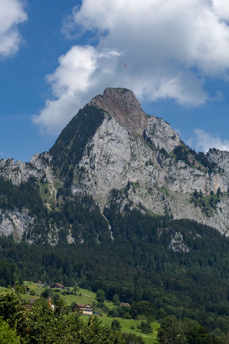
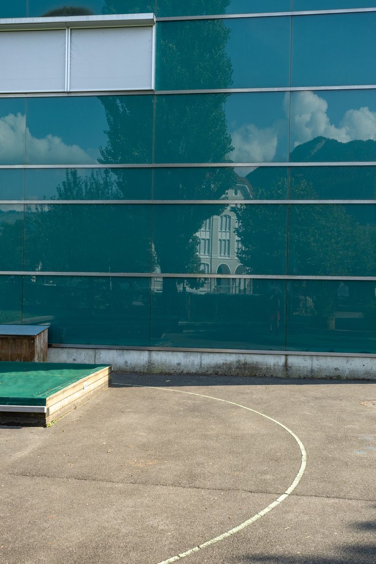
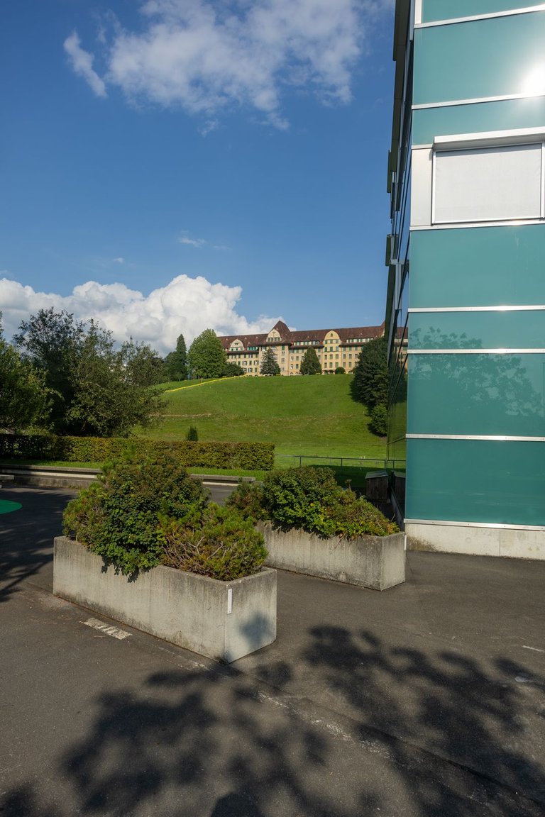
At the edge of town I passed a large building again. This time it was school.
Na okraji města jsem opět prošel kolem velké budovy. Tentokrát to byla škola.
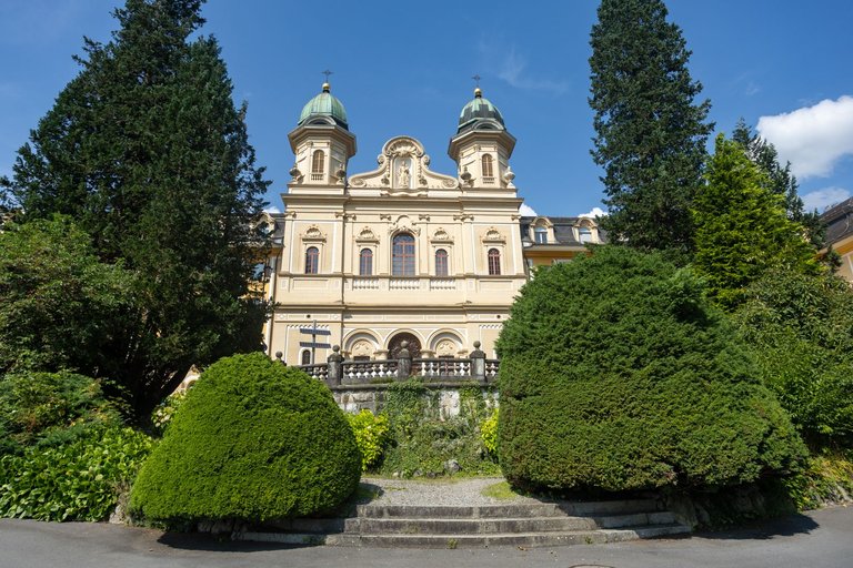
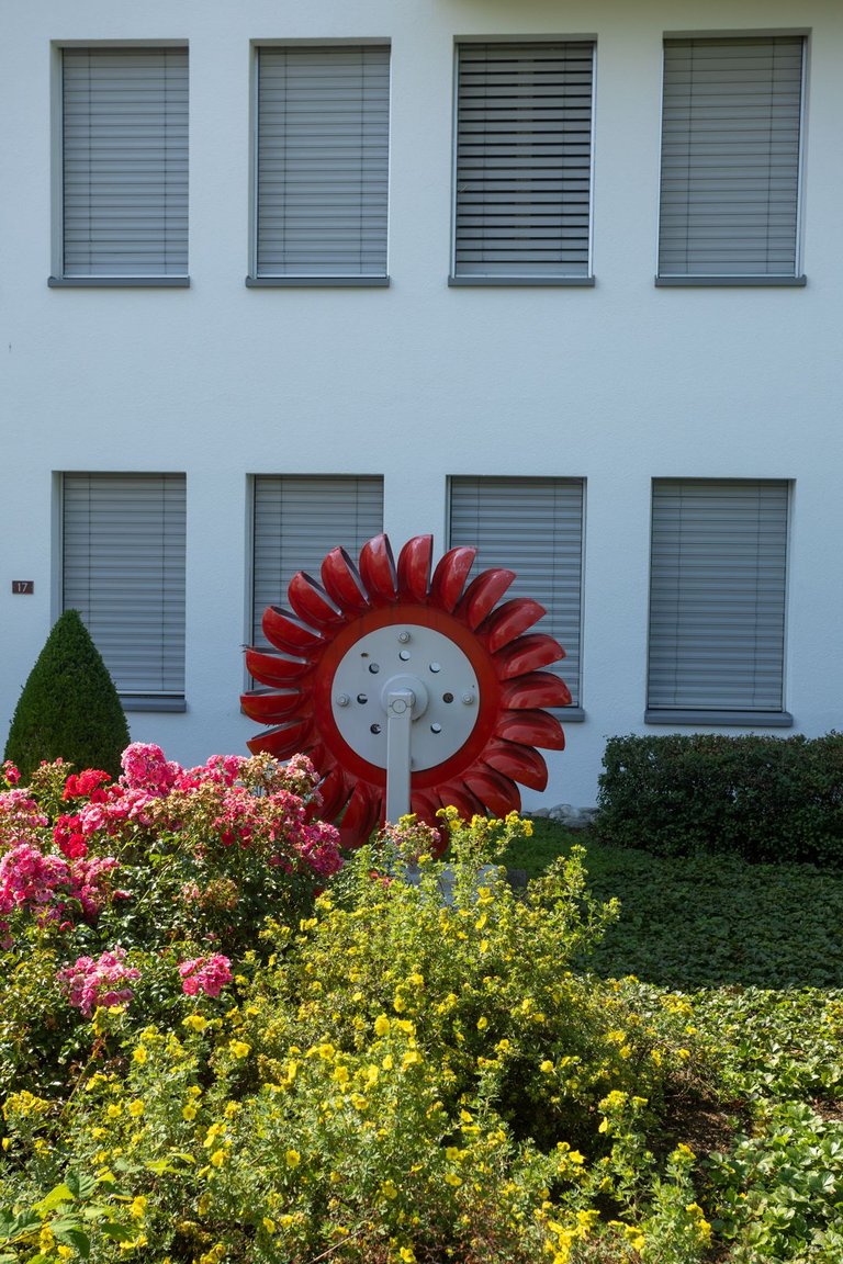
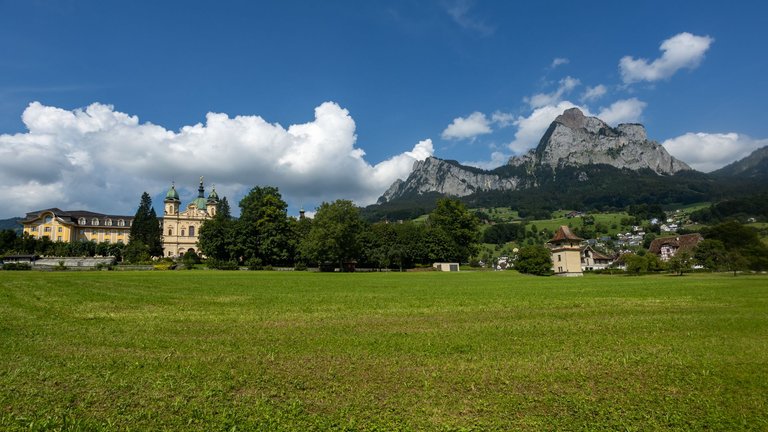
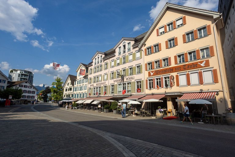
The city center was deserted. Apart from the main square. There were a few people, but they were mostly tourists and people passing by.
Centrum města bylo liduprázdné. Kromě hlavního náměstí. Kde se pár lidí nacházelo, ale jednalo se většinou o turisty a projíždějící okolo.
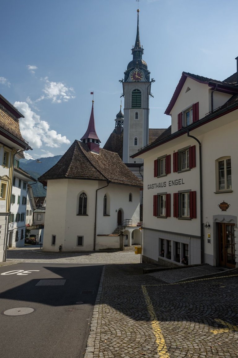
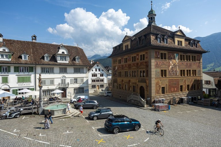
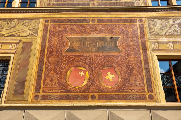
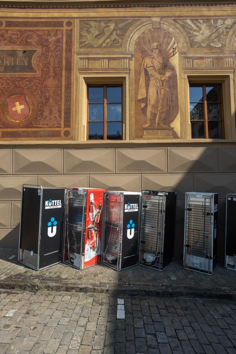
Near the center I found out why the name of the city is familiar to me. Because the company Victorinox, which is famous for its multi-purpose knife, is based here. Which, by the way, celebrates its 125th anniversary this year.
Nedaleko centra jsem zjistil, proč je mi název města povědomý. Protože zde sídlí firma Victorinox, která se proslavila víceúčelovým nožem. Který letos mimochodem slaví 125 výročí.
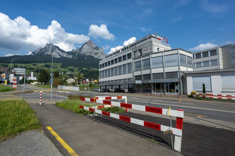
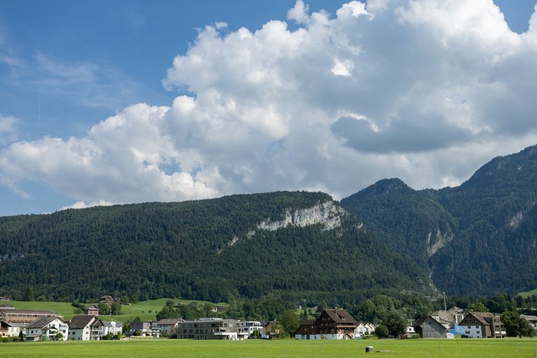
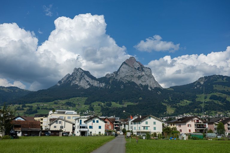
Next, the trail continued flat again, but this time with views of majestic peaks. And so it was until the next town that awaited me on the route. The town is called Brunnen and is located on the shores of Lake Vierwaldstättersee.
Dále stezka pokračovala opět rovinou, ale tentokráte s výhledy na majestátní vrcholy. A tak tomu bylo až do dalšího města, které mě na trase čekalo. Městečko se jmenuje Brunnen a leží na břehu jezera Vierwaldstättersee.
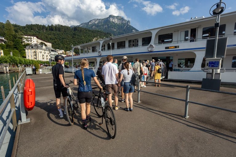
It was definitely livelier here than in Schwyz. Mainly because there is a regular boat line connecting several nearby towns. Which I also intended to use to cross the lake. And since the end of the day was fast approaching, I had to head to the wharf.
Zde bylo rozhodně živěji než ve Schwyzu. Převážně proto, že sem jezdí pravidelná lodní linka spojující několik okolních měst. Kterou jsem taktéž hodlal využít na překonání jezera. A vzhledem k tomu, že se rychle blížil konec dne musel jsem zamířit do přístaviště.
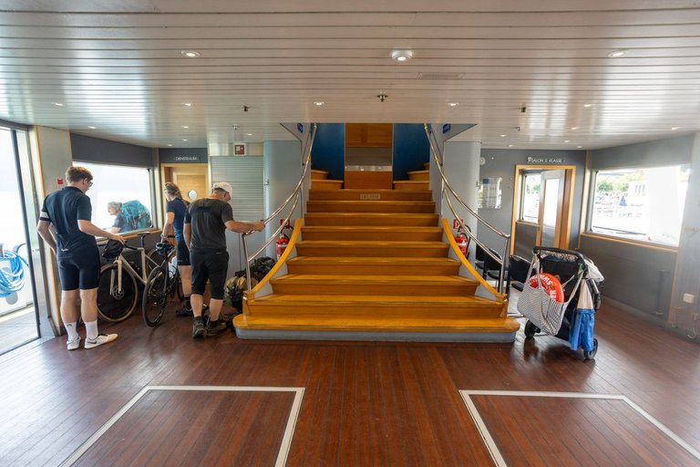
I arrived just in time as the ship was just arriving. My plan was to only get to the other side to a wharf called Treib. The trip across the lake cost me 7 francs. Which was more than I expected, but getting to the other side was necessary.
Příšel jsem právě na čas, protože loď akorát připlouvala. Můj plán byl dostat se pouze na druhou stranu do přístaviště jménem Treib. Cesta přes jezero mě vyšla na 7 Franků. Což bylo více než jsem čekal, ale dostat se na druhou stranu bylo nutné.
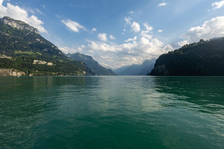
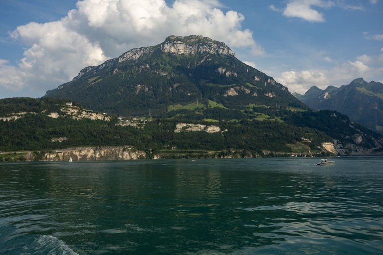
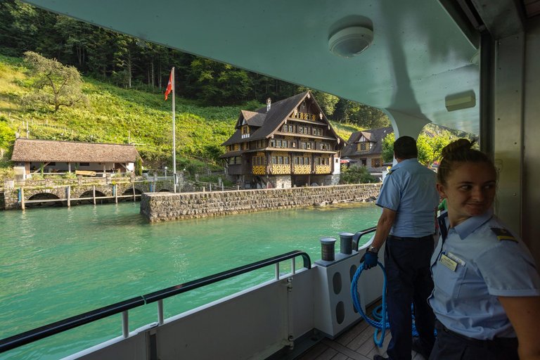
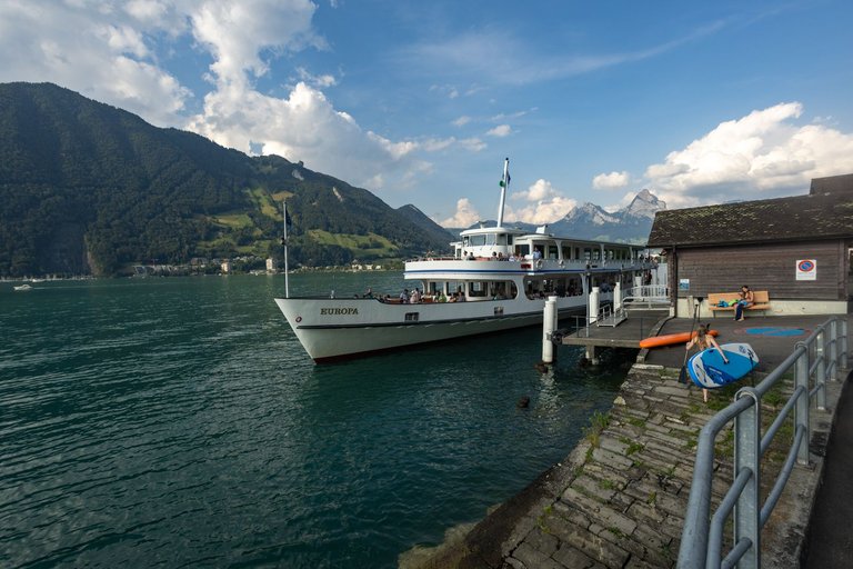
On the other side, I had planned to swim in the lake, but there was no accessible place. Because the surrounding hills go straight into the lake. So I didn't linger and set off again climbing up from the lake.
Na druhé straně jsem měl v plánu se vykoupat v jezeře, ale nebylo zde žádné přístupné místo. Protože okolní kopce jdou prudce přímo do jezera. Takže jsem se nezdržoval a vydal se opět stoupáním nahoru od jezera.
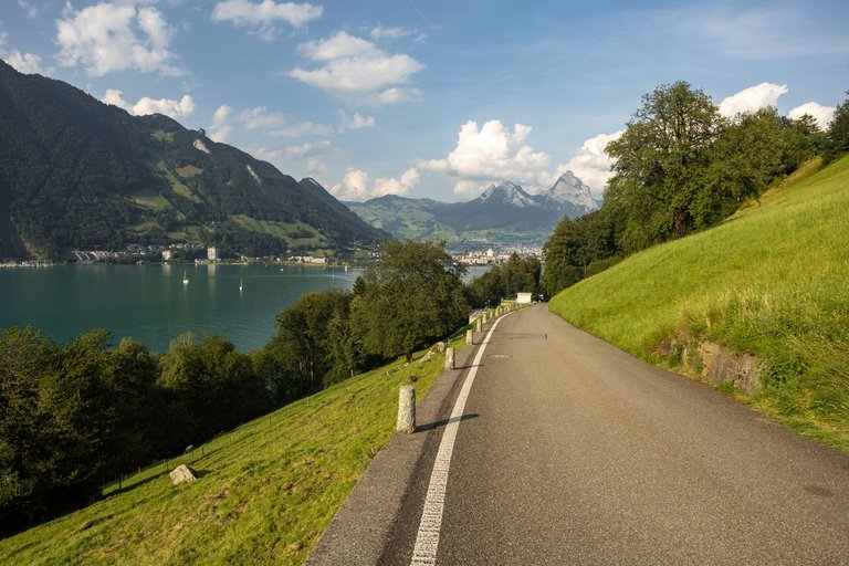
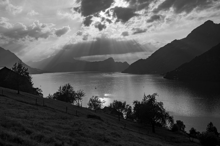
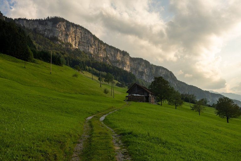
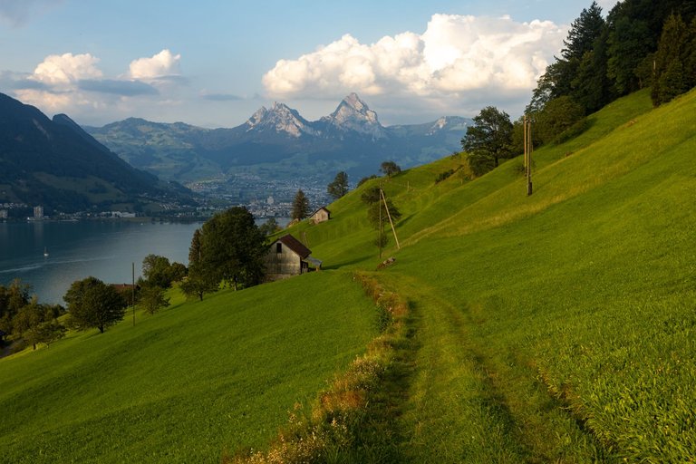
The original plan was to spend the night somewhere in the pastures, but then I noticed a barbecue place on the map. So I decided to head there. As I was already quite tired from the elevation gain. I didn't notice that the grilling area was out of my way.
Původní plán byl přenocovat někde na pastvinách, ale pak jsem si všiml v mapě grilovacího místa. A tak jsem se rozhodl tam zamířit. Jelikož jsem byl již značně unaven z překonaného převýšení. Nevšiml jsem si, že grilovací místo leží mimo mojí stezku.
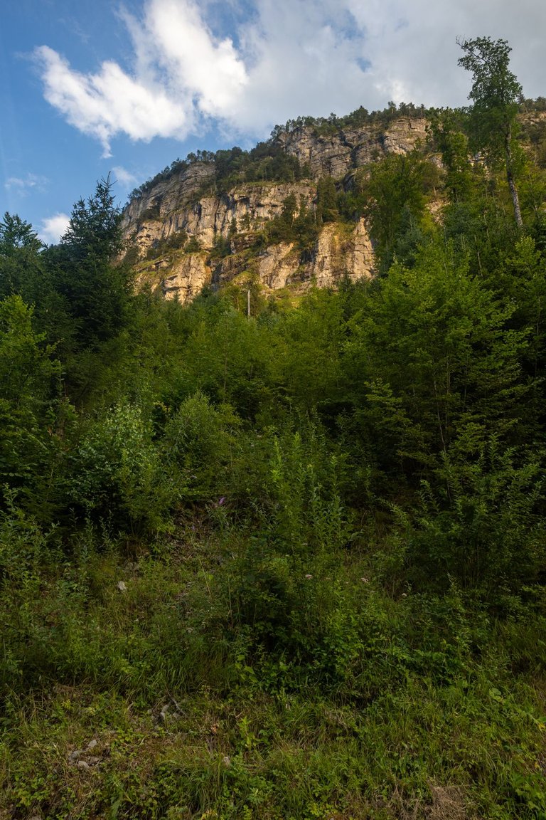
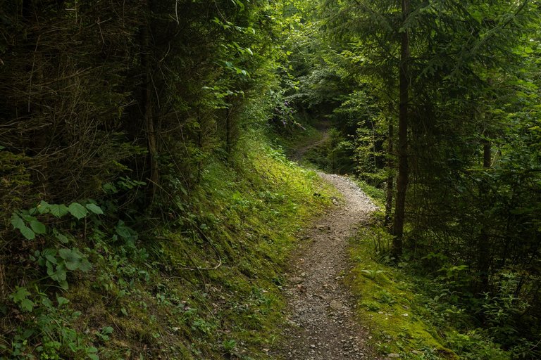
Along the way I came across several views of the lake. But mostly I walked along a narrow path through the forest under high rocks.
Cestou jsem narazil na několik výhledů na jezero. Ale převážně jsem šel po úzké cestičce lesem pod vysokými skalami.
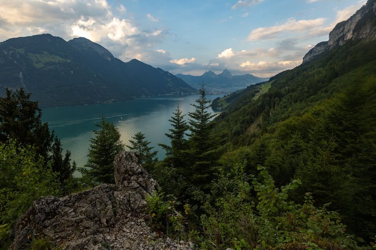
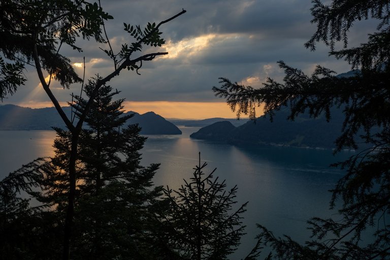
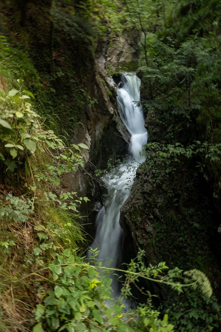
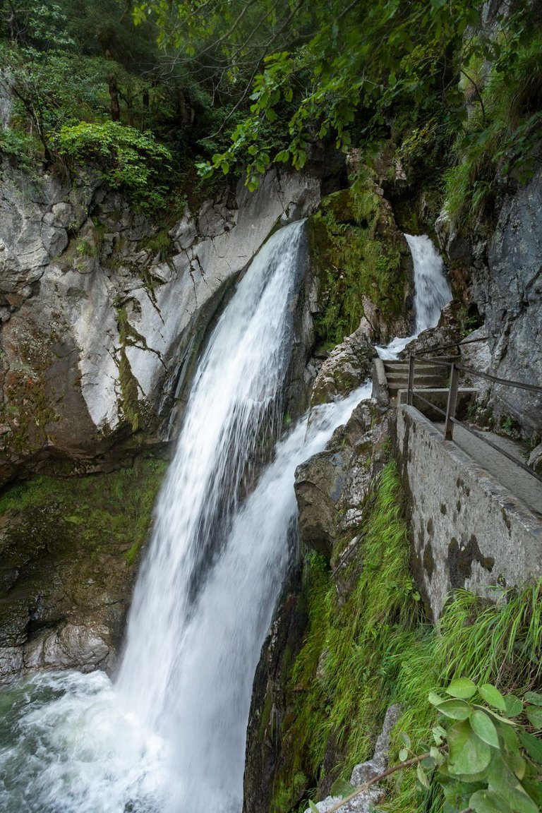
I only noticed that I was on the wrong path when I dropped some 150 meters in height. I didn't have the strength to go back, and I found out from the map that the trail joins again about 3 kilometers further. A mighty roar of water could be heard from the forest. Which meant there would be a waterfall. There were several cascades around the trail and due to the night rain there was also a lot of water.
To že jsem na špatné cestě jsem si všiml, až když jsem klesnul nějakých 150 výškových metrů. Neměl jsem už sílu se vracet a navíc jsem podle mapy zjistil, že se stezka opět připojuje asi o 3 kilometry dále. Z lesa se ozývalo mohutné hučení vody. Což značilo, že zde bude vodopád. Kolem stezky bylo hned několik kaskád a vzhledem k nočnímu dešti zde bylo i dost vody.
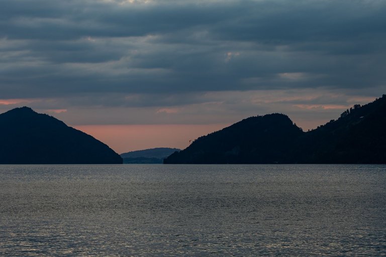
Down by the lake where the grilling place was, it was quite lively. Lots of people who came here by boat. Somehow I didn't realize it was Saturday. It happens that during such long journeys one loses of what the day actually is. So my plan to make a fire fell through. So I took some photos of the sunset and went to bed after a hard day.
Dole u jezera kde bylo grilovací místo bylo dost živo. Spousta lidí, kteří sem přijeli na lodích. Nějak mi nedošlo, že je sobota. To se stává, že člověk při takto dlouhých cestách ztratí pojem co je vlastně za den. Takže můj plán udělat si oheň ztroskotal. Tak jsem udělal pár fotek západu slunce a šel spát po náročném dni.
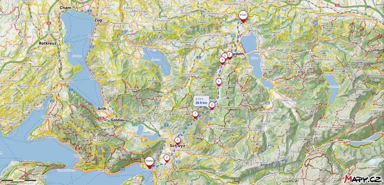
Route fron Tüfelsbrugg to Brunnen
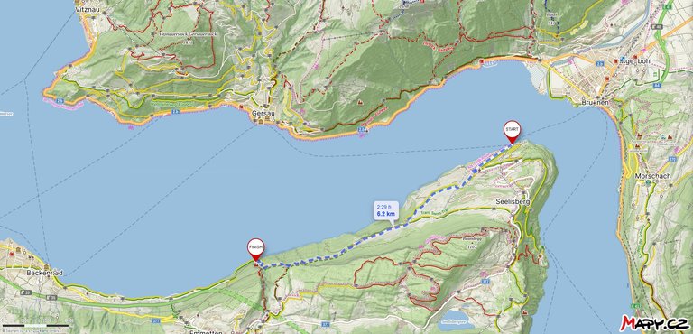
Route from Treib to Risleten
| Kilometers walked | Meters Up | Meters Down |
|---|---|---|
| 953.6 Km | 15758 meters | 15503 meters |
Links to the last 5 articles
Jan Hus Trail / Jakobsweg - From Äpfingen to Bad Waldsee (GER) / Day 19
Jan Hus Trail / Jakobsweg - From Bad Waldsee to Unterteuringen (GER) / Day 20
Jan Hus Trail / Jakobsweg - From Unterteuringen (GER) to Hugelshofen (CH) / Day 21
Jakobsweg - From Hugelshofen to Hörnli (1133m) (CH) / Day 22
Jakobsweg - From Hörnli (1133m) to Tüfelsbrugg (CH) / Day 23

Lovely shots! The combination of the green environment with the blue sky is very nice. But I also like the black and white shot with!
Nice trip!
I was incredibly lucky with the weather throughout the trip. Of course, the surroundings were inspiring as well.
Ty zamlžené krajinky máš parádní. Taky bych dal jako úvodní ten les. Doslova magická atmosféra :)
@tipu curate 4
Upvoted 👌 (Mana: 35/75) Liquid rewards.
Byl to tentokrát poměrně těžký výběr zvolit tu správnou fotku. Zrovna tahle mi přišla nejlepší z mého pohledu, protože je unikátní.
Congratulations, your post has been added to WorldMapPin! 🎉
Did you know you have your own profile map?
And every post has their own map too!
Want to have your post on the map too?
Congratulations @softa! You have completed the following achievement on the Hive blockchain And have been rewarded with New badge(s)
Your next target is to reach 42000 upvotes.
You can view your badges on your board and compare yourself to others in the Ranking
If you no longer want to receive notifications, reply to this comment with the word
STOPCheck out our last posts: