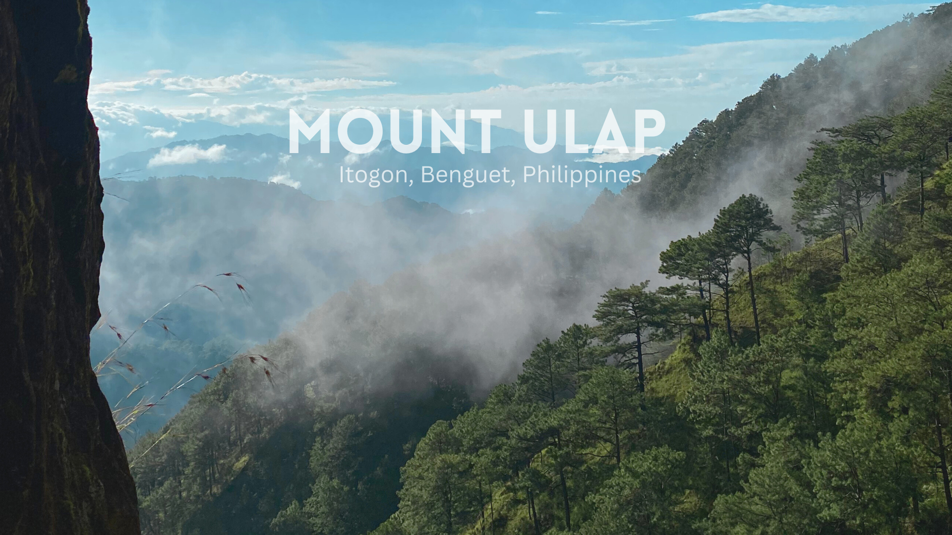
Philippines is known for its thousands of islands and pristine waters. But, it's also graced with peaks that are treat for those adventure hungry people (like me!) who would dare hours of trekking to see a beautiful view. What surprised me when I started this hobby of hiking mountain peaks is that, there are 511 peaks in the Philippines! And on one fine weekend, I was able to cross off one of the popular destinations for beginner and experienced hikers ⏤Mount Ulap.

This is a bit of anniversary post about the trip since I am planning to go on a hike at Mount Pulag (3rd highest peak in the Philippines) hopefully before the year ends. My college friends asked me if I wanted to join a day hike at Mount Pulag and being the spontaneous person that I am, I agreed without much thought. Despite the rainy season of the month of October, we were lucky to have that perfect weather during our hike. Since it's already ber month, we expected that it will be colder than normal. What I enjoy about hiking trips nowadays is that you can just join as either solo or group traveller. It was perfect for me since I have my friends with me and I get to meet new people too.
The Mount Ulap Eco-Trail

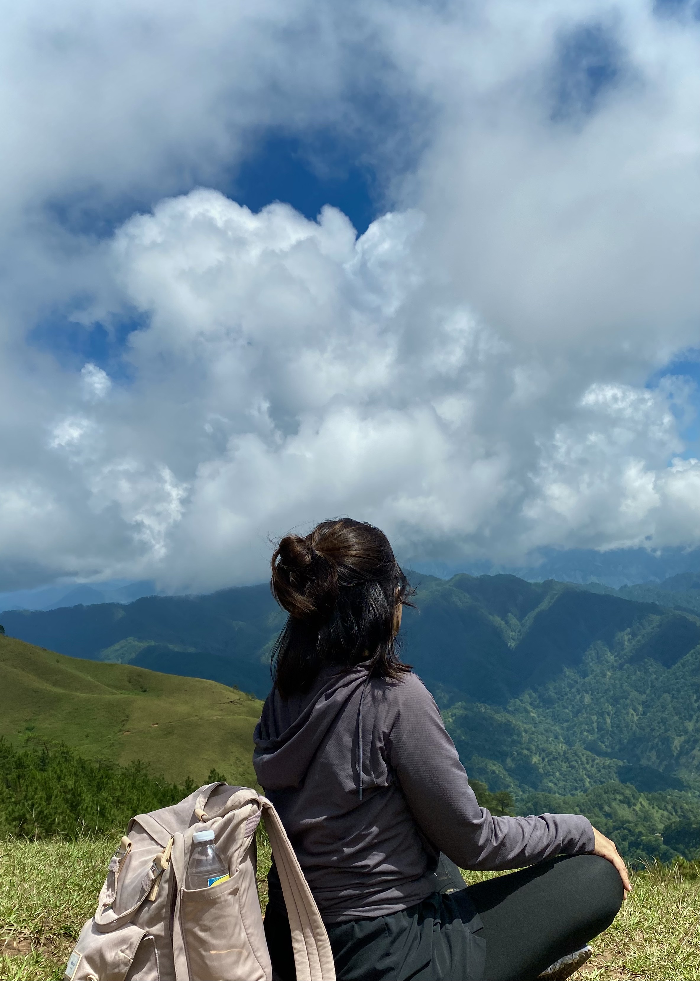
Before we set on for the hike, we were given a brief orientation about the trail. Although, Mount Ulap is more popular for a day hike, some hikers also choose to camp. Ambanao Paoay is where the campsites are located, when you reach this, you're already 1,788 meters above sea level. Almost close to the summit just by looking at the numbers, but from Ambanao Paoay, the trail becomes an alternating uphill and downhill journey to Mount Ulap. Gungal is known for its iconic rock formation, where hikers embrace their youth by taking a daredevil shot at the mirror-like Lion King cliff. And, finally the Mt. Ulap Summit, unfortunately, we were not able to witness the grand view at the top because there was no clearing or the clouds were hindering the view. Yes! The peak was high enough to walk among the clouds!
Distance Markers, Towering Pine Trees, and Snaps in Between

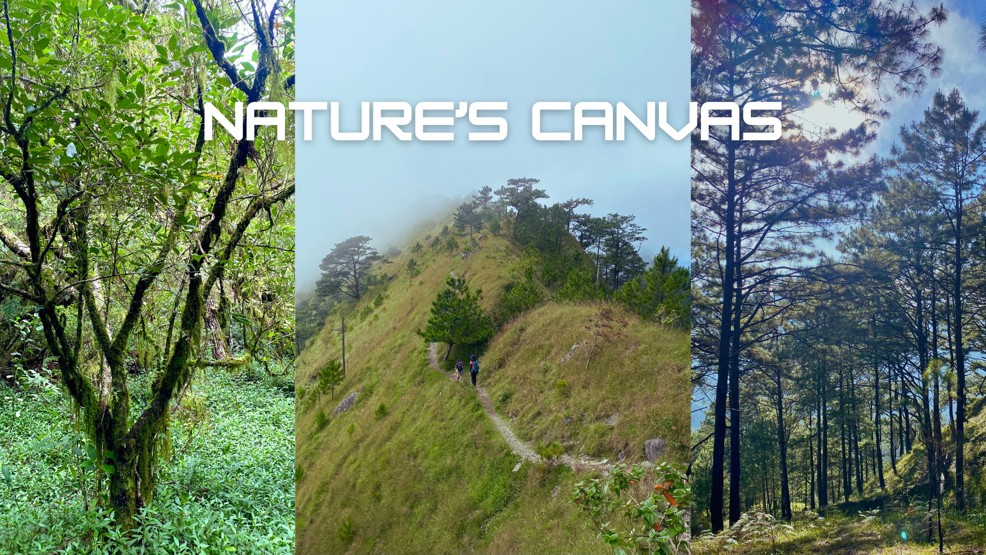
The trail spans almost 9km, making it moderate trek suitable for a day hike. According to our guide, some groups were able to finish the hike within 3-6 hours. Our group, mix of beginner and experienced hikers completed it for 8 hours! Hahaha. We took our time at the scenic viewpoints at Ambanao Paoay and Gungal Rock, taking photos and just admiring the surrounding mountains and valleys. Our ascent to the summit took us 6 hours and the descent (which is always the most difficult part for me) took us 2 hours. I was glad that I bought a walking stick at the jump-off point because the downward trail was filled with small rolling stones on an alternating stair and downhill slopes. The entire trail was fun, looking out for the distance markers of how far we've come felt like catching pokémon. Unfortunately, I missed the 4km signage and none of my friends noticed it either. 😅

This hike is by far my most beautiful hiking experience. The weather was perfect, I remember feeling the cold breeze since I only wore light layers. The trail was a mix of cliff viewpoints, towering pine trees, open grasslands, and mossy forest. I was in awe whenever the sunlight would pierce through the forest and would highlight the morning mist.
.png)

When I hear people talking about Mt. Ulap, I have always thought that this famous rock formation at Gungal was already the summit. It's known to offer hikers that dramatic adventurous shot mirroring the cliff in the movie Lion King. Although it looks challenging, there's a hidden route to reach the edge of the cliff and the photographer will have to take the photo from afar.
The Final Stretch
.png)
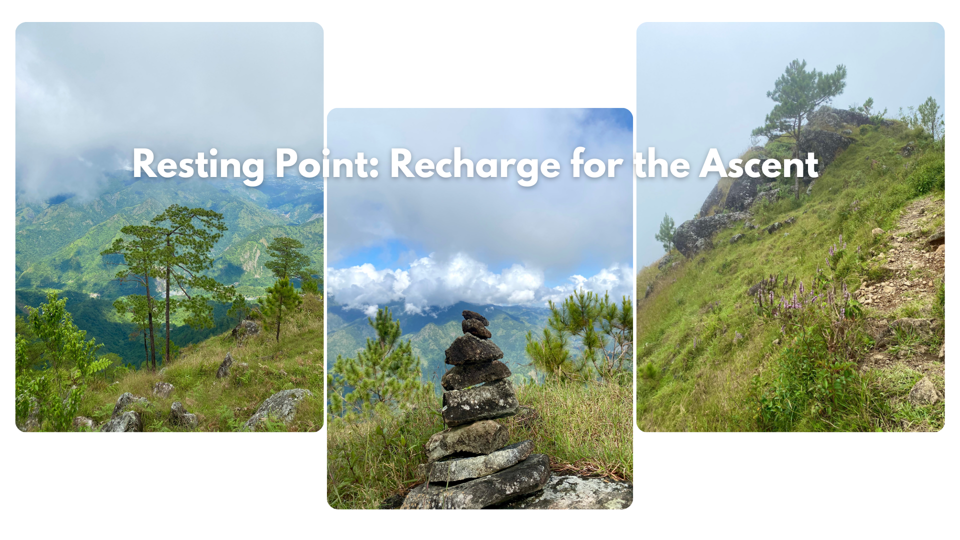
We took a long pause before we set off on the last stretch of our ascent. Our guide showed us the trail we're about to take, a combination of uphill and rocky terrain. While waiting, I noticed some rock stacks near the shade we sat on, which probably left by other hikers who often rest at that spot.
After a few more minutes of ascent, we were able to reach the summit, past lunch time. We admired the view on top and I'm particularly glad that the trail for the hike back was a different route. On our way down, we had our late lunch before we set off for our way back. The cold shower at the end point felt so amazing, it was such a nice reward after hours of trekking.

Congratulations, your post has been added to WorldMapPin! 🎉
Did you know you have your own profile map?
And every post has their own map too!
Want to have your post on the map too?
Hiya, @ybanezkim26 here, just swinging by to let you know that this post made it into our Top 3 in Travel Digest #2347.
Your post has been manually curated by the @worldmappin team. If you like what we're doing, please drop by to check out all the rest of today's great posts and consider supporting other authors like yourself and us so we can keep the project going!
Become part of our travel community:
Hello, I appreciate the support, thanks! :)
You are very welcome @travelingmercies! it was well deserved. ☀️
Keep up the great work 💪