Hello dear friends,
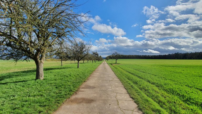
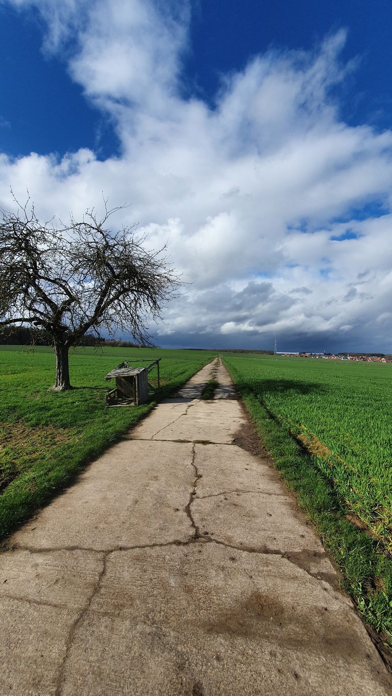
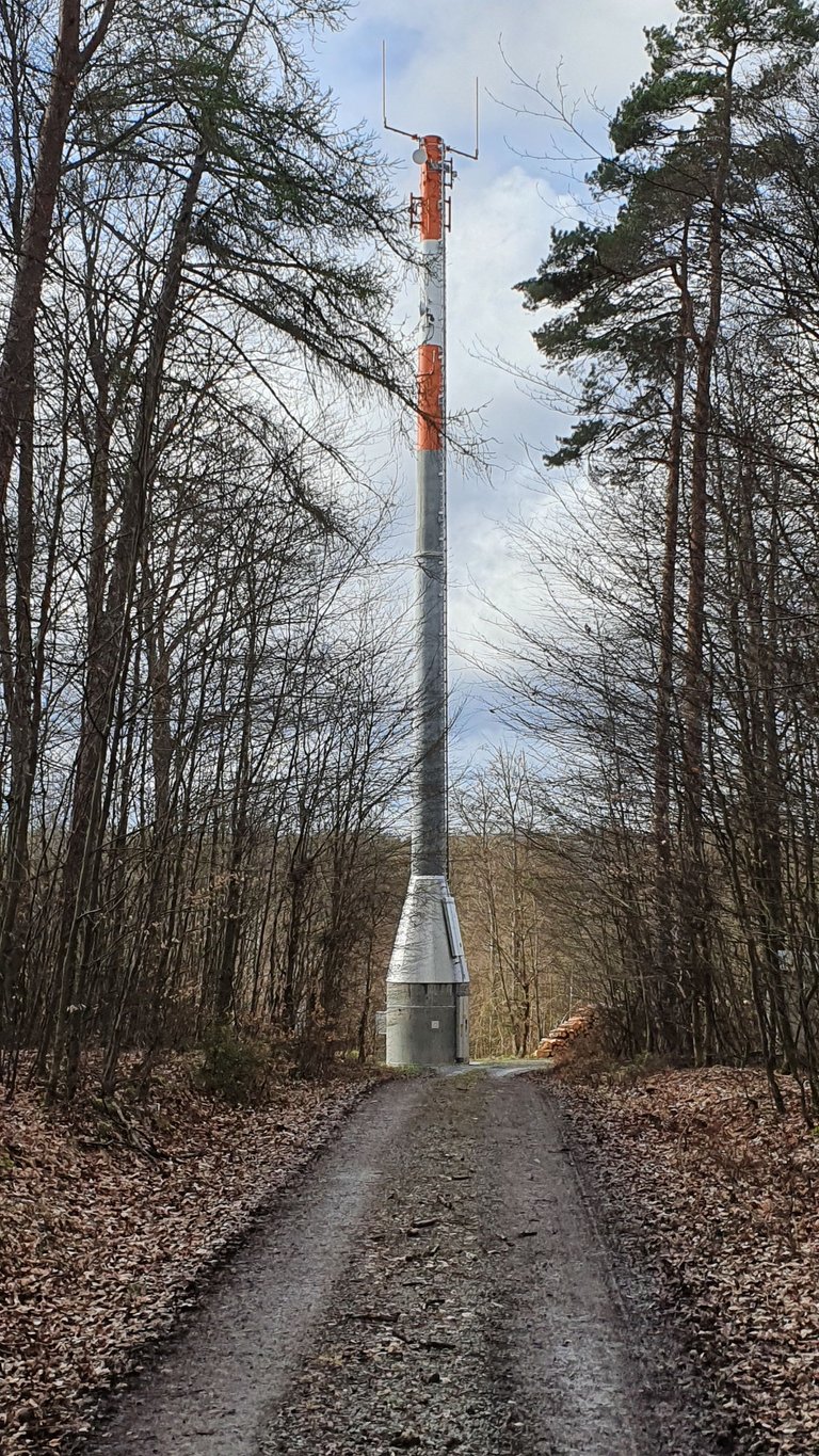
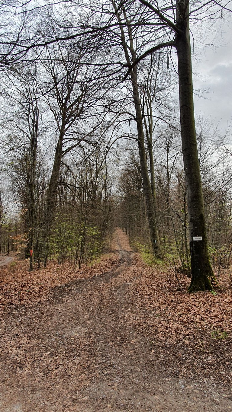
Last week, of course, I put my new bike through its paces and rode it a lot. I didn't just ride through the endless expanses of the forest paths and forest highways of the southern Spessart Forest (these photos were taken in the bitter cold in Röttbach, which is located right next to the A3 highway at the southern end of the Spessart). No, I was almost enchanted by the narrow trails of the so-called Eselsweg (= Donkey's Way), which leads through the Spessart from Großheubach to Schlüchtern.
🌄 🕊 🕊 🌄
Hallo liebe Freunde,
vergangene Woche habe ich natürlich mein neues Fahrrad erst einmal ordentlich ausgefahren. Dabei bin ich nicht nur durch die unendlichen Weiten über die Forstwege und Waldautobahnen des Südspessarts (diese Aufnahmen enstanden bei empfindlicher Kälte in Röttbach, das direkt neben der Autobahn A3 am südlichen Ende des Spessarts liegt) gefahren. Nein, ich wurde schier magisch von den engen Trails des sogenannten Eselsweges, der durchn den Spessart von Großheubach nach Schlüchtern führt.
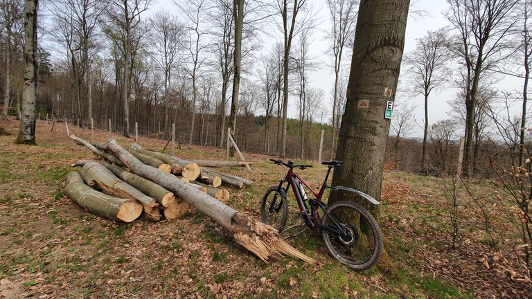
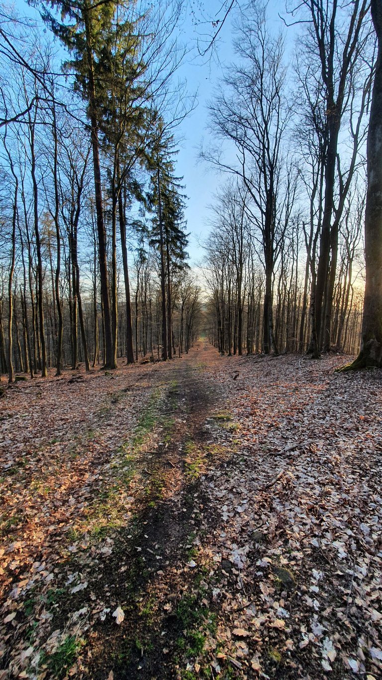
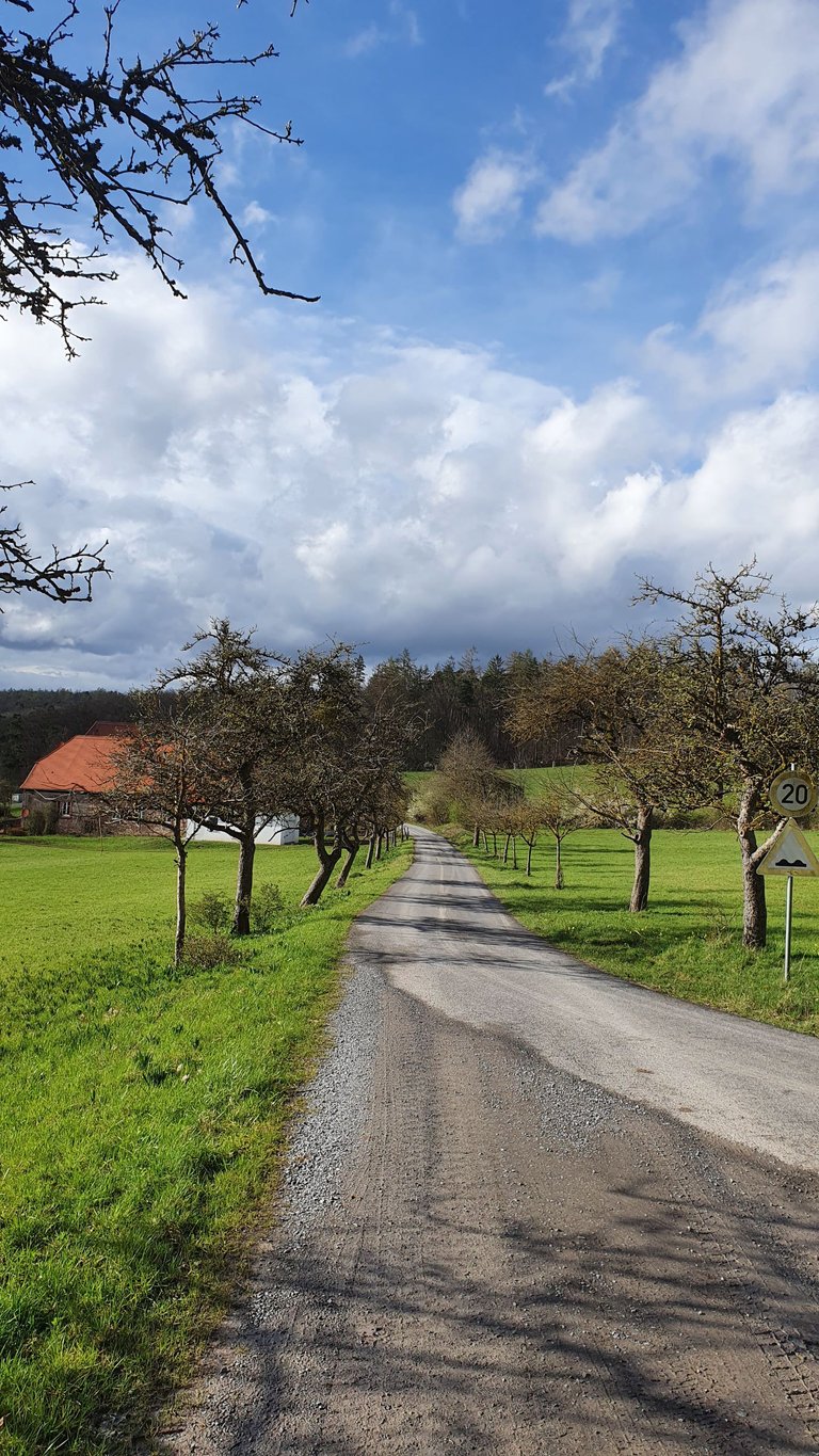
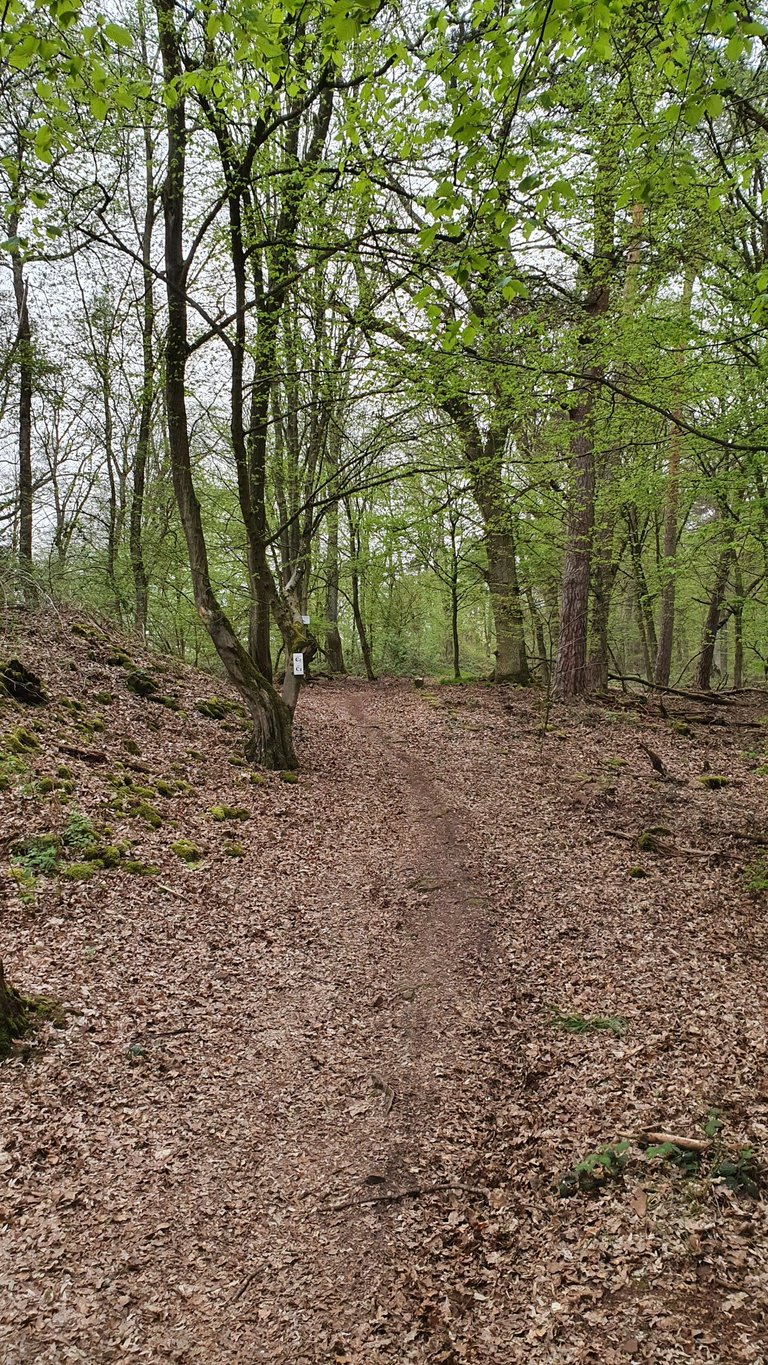
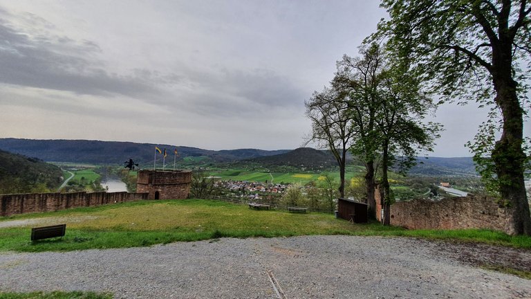
The Eselsweg is just over 100 km long in its entirety. I usually only cycle the part between Collenberg and Rohrbrunn. To get to this trail, which is actually an old trade route, I first have to pedal at least 15 km up the mountain. Although the trail itself includes a few metres of elevation gain, it almost always runs along the mountain crest away from civilization. This is still possible even in densely populated Germany, as the Spessart is one of the largest contiguous areas of deciduous trees in Germany.
🌄 🕊 🕊 🌄
Der Eselsweg ist in Gänze etwas über 100 km lang. Ich fahre meist nur den Teil, der zwischen Collenberg und Rohrbrunn liegt. Um auf dem Rad zum diesem Trail, der eigentlich ein alter Handelsweg ist, zu kommen, muß ich erst einmal mind. 15 km den Berg hoch strampeln. Der Weg selbst beinhaltet zwar auch einige Höhenmeter, verläuft aber so gut wie immer auf dem Bergkamm abseits der Zivilisation. Das ist selbst im dicht besiedelten Deutschland noch möglich, da der Spessart zu den größten zusammenhängenden Laubbaumgebieten Deutschlands zählt.
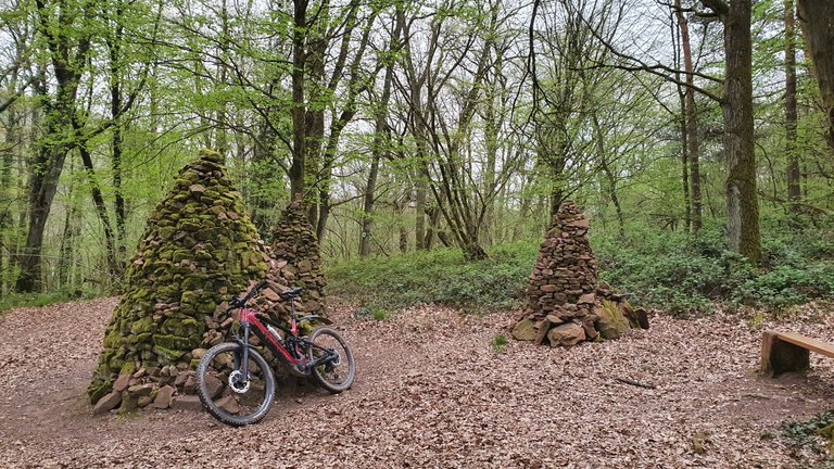
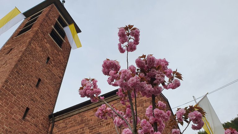
Modern and traditional features await you along the route.
🌄 🕊 🕊 🌄
An der Strecke erwarten einen moderne und traditionelle Merkmale.
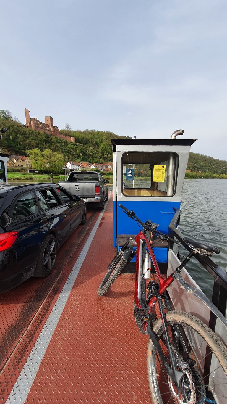
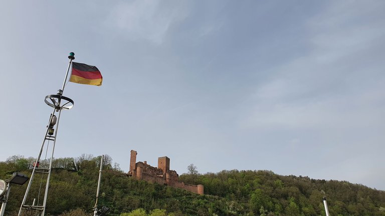
The quickest way to get to the Eselsweg is to take the ferry across the Main at Stadtprozelten and cycle up the mountain past Henneburg Castle towards Neuenbuch. In summer I would like to cycle from there to Großheubach. This route should not exceed 80 km. I haven't measured it yet ;-)
🌄 🕊 🕊 🌄
Am schnellsten komme ich zum Eselsweg, wenn ich mit der Fähre bei Stadtprozelten den Main überquere und an der Henneburg vorbei Richtung Neuenbuch auf den Berg fahre. Im Sommer möchte von dort mal bis Großheubach fahren. Diese Streckeführung sollte 80 km nicht überschreiten. Ich habe es noch nicht ausgemessen. ;-)
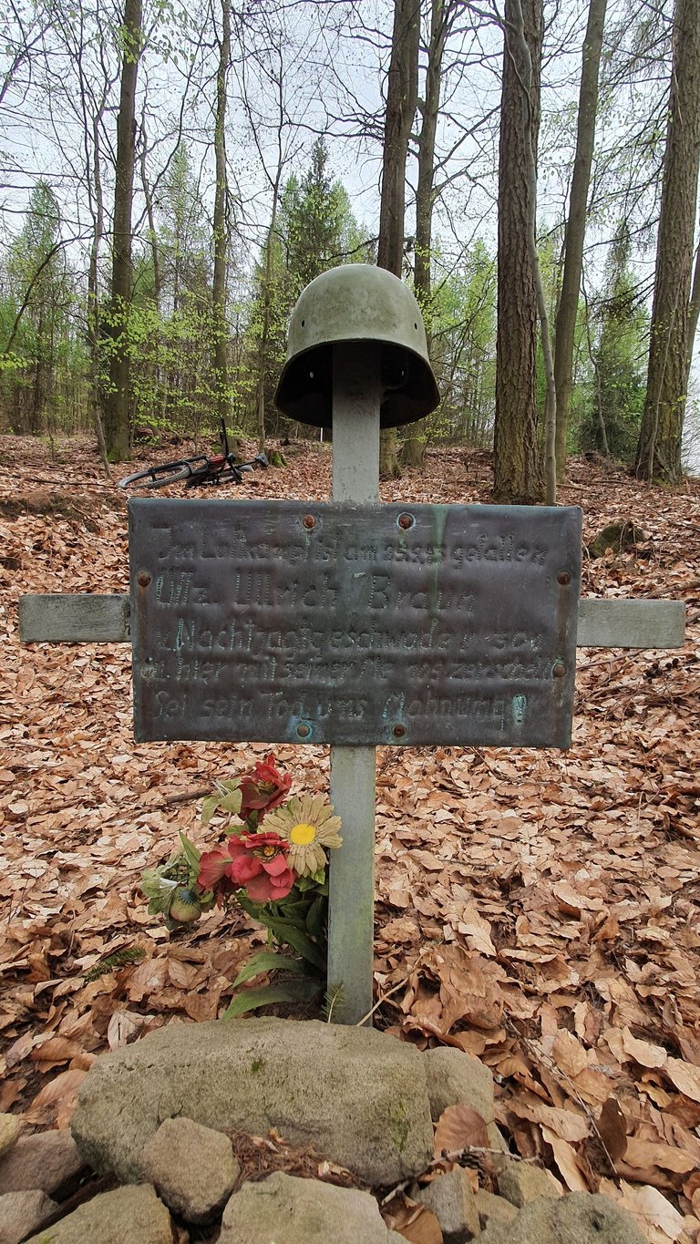
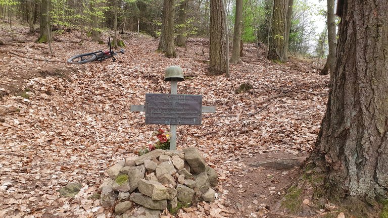
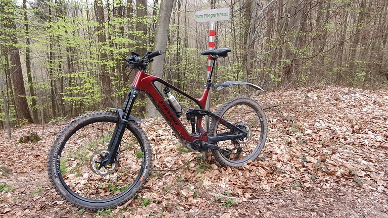
The airmen's memorial is located directly on the Eselsweg near Rohrbrunn. The airmen's memorial is located there in honor of the many young fallen of the air squadron in 1943 of the Second World War. On the night of November 25-26, 1943, the industrial and residential areas of nearby Frankfurt am Main were attacked by air. Several aircraft from the 301/302 fighter squadron - known as the "Wilde Sau" (=wild sow) - crashed over the Spessart region. The airmen's memorial symbolizes the place where the young life of NCO Ulrich Braun, born on 13 February 1923 in Goldap, ended far too soon. His mortal remains were transferred to Goldap in East Prussia and buried there. This information is provided on site by the Dammbach-Geishöhe local history association. I paused for a moment at this place. And when I think about the suffering of the war, I am sure that I have taken the right path for my soul with my pacifist attitude to life.
🌄 🕊 🕊 🌄
In der Nähe von Rohrbrunn befindet sich direkt am Eselsweg das Fliegerdenkmal. Das Fliegerdenkmal befindet sich dort zu Ehren der vielen jungen Gefallenen der Fliegerstaffel im Jahre 1943 des 2. Weltkriegs. In der Nacht zum 25. auf den 26. November 1943 wurde die Industrie- und Wohngebiete des nahe gelegenen Frankfurt am Main auf dem Luftweg angegriffen. Dabei stürzten bei den Kamphandlungen mehrere Maschinen des Jagdgeschwaders 301/302 - "Wilde Sau" genannt - über dem Spessart ab. Das Fliegerdenkmal symbolisiert die Stelle, an dem das junge Leben des Unteroffiziers Ulrich Braun, geboren am 13.Februar 1923 in Goldap, viel zu früh endete. Seine sterblichen Überreste wurden nach Goldap in Ostpreußen überführt und dort bestattet. Diese Informationen stellt an Ort und Stelle der Heimatverein Dammbach-Geishöhe zur Verfügung. An diesem Org hielt ich für einen Moment inne. Und wenn ich über das Leid des Krieges nachdenke, bin ich mir sicher, daß ich mit meiner pazifistischen Lebenseinstellung für meine Seele den rechten Weg eingeschlagen habe.
As already mentioned, I usually only ride the Eselsweg as far as Collenberg. There are many good trails in the forest there too.
🏰 🏰 🏰 🏰
Den Eselsweg fahre ich wie bereits erwähnt meist nur bis Collenberg. Auch dort gibt es viele gute Trails im Wald.
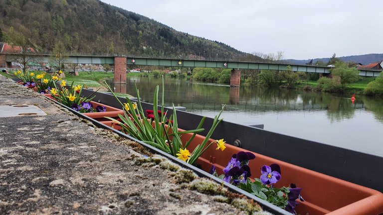
As Freudenberg with its inexpensive ice cream parlor is nearby - but again on the side to the left of the Main - it makes sense to take a break there. Unfortunately, the air was saturated with Sahara dust last week. There was little or nothing to be seen of the blue sky.
🏰 🏰 🏰 🏰
Da sich Freudenberg mit seiner günstigen Eisdiele in der Nähe befindet - allerdings wieder auf der Seite links des Mains -, bietet es sich an, dort eine Rast einzulegen. Leider war letzte Woche die Luft mit Saharastaub angeschwängert. Vom blauen Himmel war wenig bis nichts zu sehen.
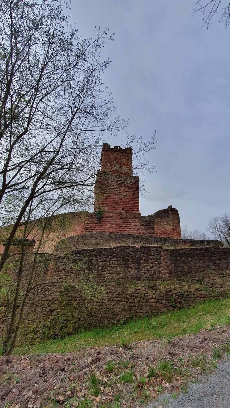
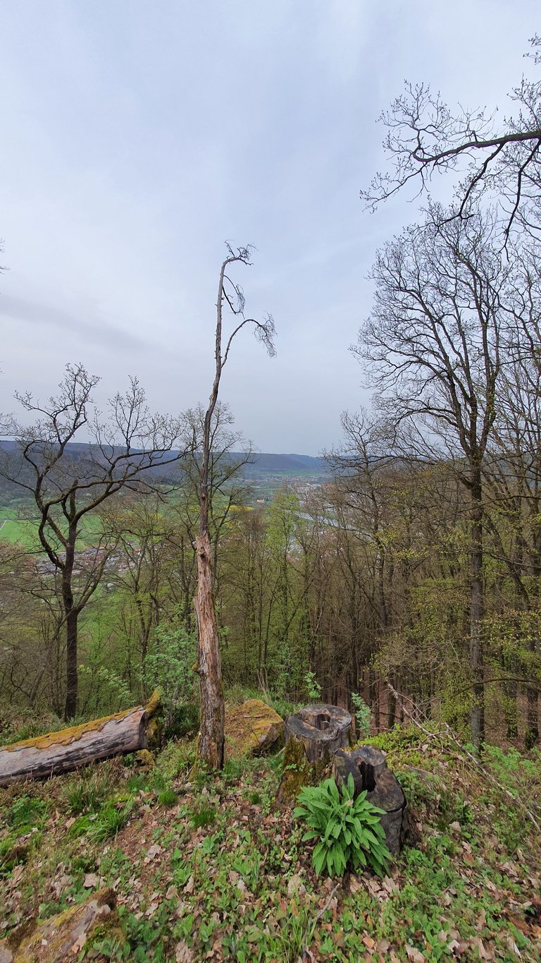
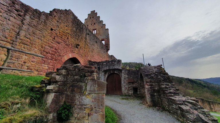
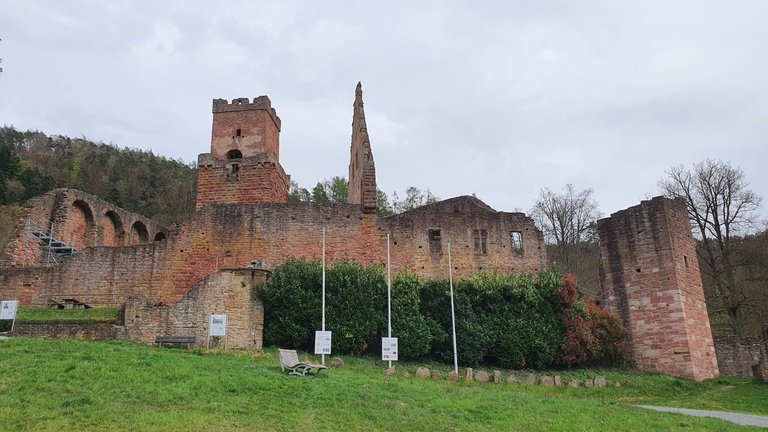
Freudenberg Castle looks much more impressive with a blue sky. You can find reports about the castle on my blog. The same applies to the "Hohe Steine" (high stones) viewing point in the Schenkenwald forest opposite the Spessart, which I had previously overlooked. However, I used to visit Dürrhof quite often. Once you've scrambled up the mountain, you know what you've done. At this point, I would like to point out that I usually ride my pedelec in Eco and Tour+ mode. So I still do sport and don't just let the motor carry me along. On a trail on the flat, however, the eMTB mode of the Bosch motor is really fun ;-)
🏰 🏰 🏰 🏰
Die Freudenburg von Freudenberg kommt mit blauen Himmel auf wesentlich imposanter rüber. Ihr könnt Berichte über die Burg auf meinem Blog finden. Selbiges gilt auch für den Aussichtsplatz "Hohe Steine", im Schenkenwald gegenüber des Spessarts, den ich bislang übersehen hatte. Am Dürrhof war ich allerdings früher recht häufig. Wenn man den Berg hochgekrackselt ist, weiß man, was man getan hat. An dieser Stelle weise ich darauf hin, daß ich mein Pedelec meist mit Eco und Tour+ Modus fahre. Ich mache also schon noch Sport und lasse mich nicht nur vom Motor dahintragen. Auf einem Trail in der Ebene macht allerdings der eMTB Modus des Bosch Motors richtig Laune. ;-)
Weblinks:
Andy Jay Powell Spotify
Andy Jay Powell YouTube Channel 1
Andy Jay Powell On Odysee
Andy Jay Powell On DTube
Andy Jay Powell On X
🔊 🔊 🔊 Follow @andyjaypowell 🔊 🔊 🔊
!BEER
Allerbesten Dank !
@tipu curate
Thank you very much, dear Claudio :-)
Upvoted 👌 (Mana: 29/59) Liquid rewards.
Super
Hello friend, the photos are very beautiful, I love the colorful flowers, the violets are my favorite. The terrain is ideal to enjoy a long walk, although the truth is I would love to do the bike ride. Hopefully on your next visit you won't encounter the Sahara dust so you can enjoy the beautiful blue sky.
I wish you a great week, big hugs! @andyjaypowell
Thx, dear kristal24...
Yes, I would have liked to have photographed the flowers under a blue sky.
So much beauty and minimalism in a single place! My go-to paths to follow anytime I make it to a walk :)
Thank you for sharing
Reminds me of childhood...
Wow, what beautiful landscapes. The green of the grass looks amazing.
Thank you very much :)
That was quite a long distance but I’m glad that you enjoyed the ride and took some lovely pictures
The views are really super and amazing because there is a lot of history there and there are lots of very large plantation areas. Thank you for sharing with us
Thx :-)
pizza
Congratulations @andyjaypowell! You have completed the following achievement on the Hive blockchain And have been rewarded with New badge(s)
Your next target is to reach 90000 upvotes.
You can view your badges on your board and compare yourself to others in the Ranking
If you no longer want to receive notifications, reply to this comment with the word
STOPView or trade
BEER.Hey @andyjaypowell, here is a little bit of
BEERfrom @thehockeyfan-at for you. Enjoy it!Learn how to earn FREE BEER each day by staking your
BEER.The view of the forest looks very eye-catching
@janasilver denkt du hast ein Vote durch @investinthefutur verdient!
@janasilver thinks you have earned a vote of @investinthefutur !
Wow the pictures are amazing,💚
The nature is lovely :) I like this post veru much 😊
!invest_vote !LUV !PIZZA !wine !WITZ !LOLZ !Hugh
andyjaypowell, janasilver sent you LUV. 🙂 (1/5) tools | trade | connect | wiki | daily
Made with LUV by crrdlx.