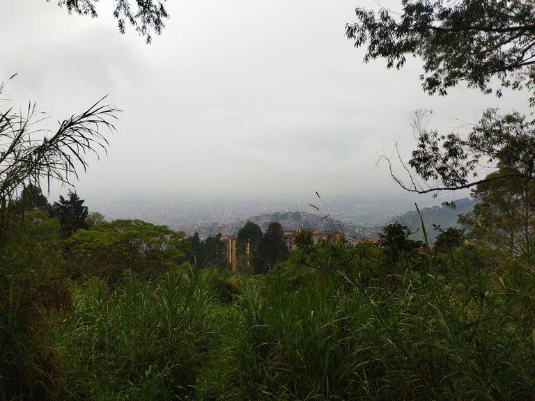
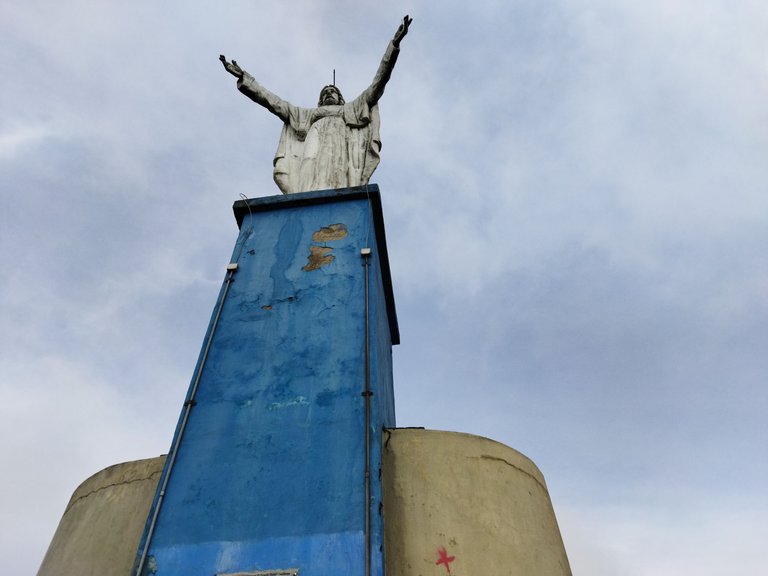
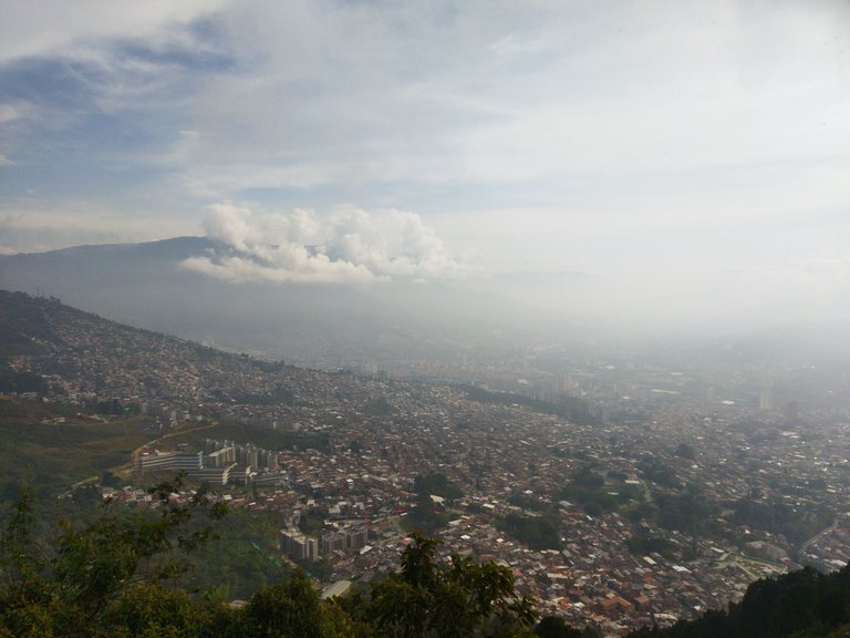
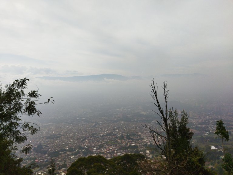
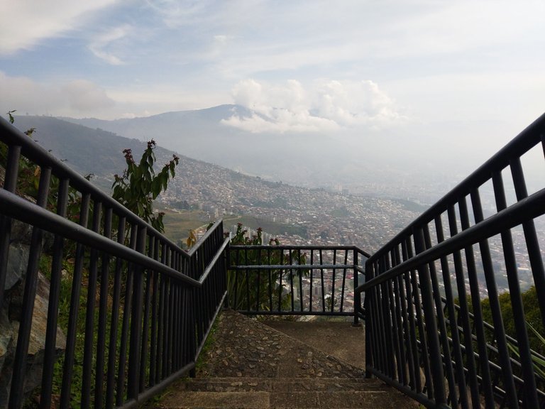
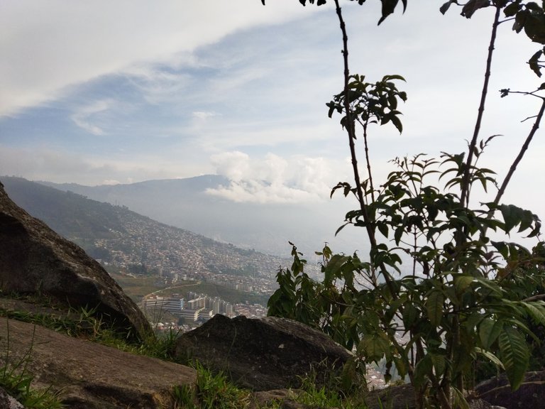
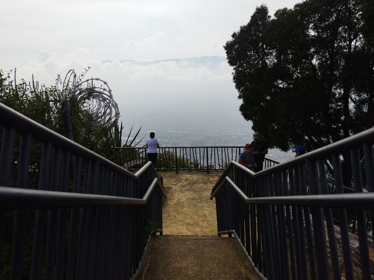
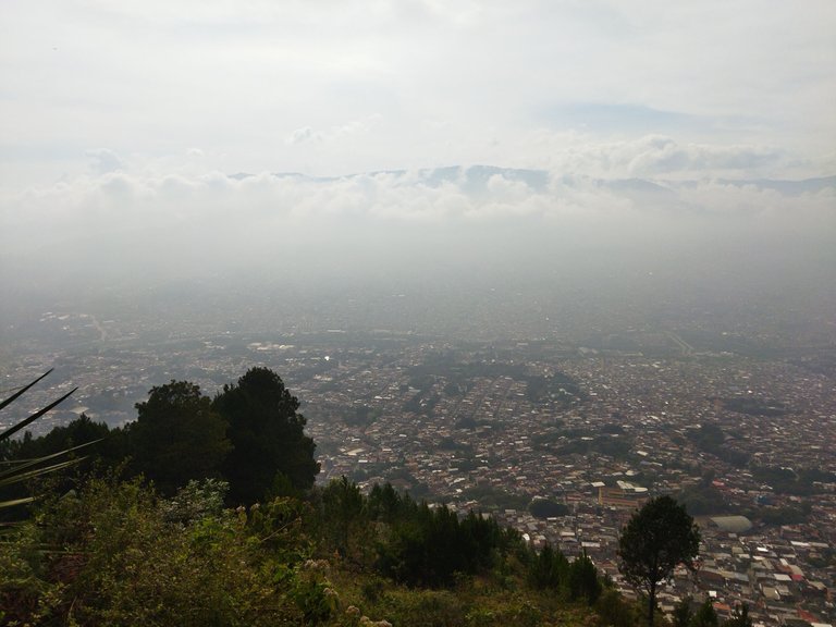
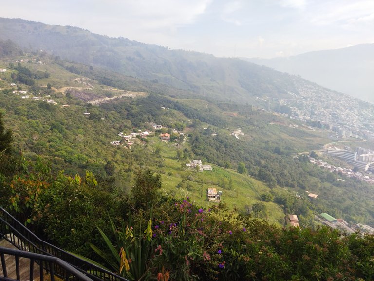
I was surfing the net and I found a video of beautiful places to visit, in it they mentioned Medellin, Colombia, they showed an incredible view of the city from the top of a mountain. One day while I was with some new friends that I made here, I asked them if they knew the specific place that was in the video, one of them recognized it immediately and told me the name, Cerro El Picacho, is one of the viewpoints of the city, it is on top of a mountain that looks right towards the Valley, it has a statue of Jesus Christ.
Estaba navegando en la red y me encontré un video de lugares hermosos que hay que visitar, en ellos mencionaron a Medellín, Colombia, mostraban una vista increíble de la ciudad desde lo alto de una montaña. Un día mientras estaba con unos amigos nuevos que hice acá, les pregunté si conocían el lugar específico que salia en el video, uno de ellos lo reconoció inmediatamente y me dijo el nombre, Cerro El Picacho, es uno de los miradores de la ciudad, queda en lo alto de una montaña que da justo hacia el Valle, tiene una estatua de Jesucristo.
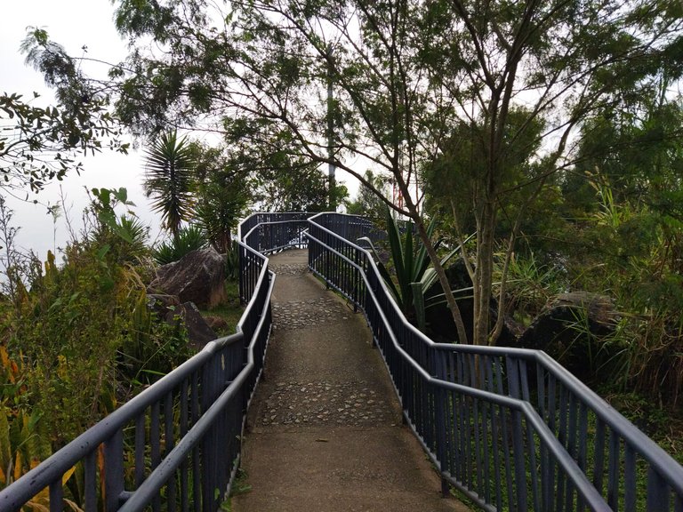
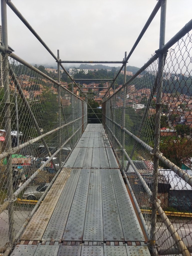
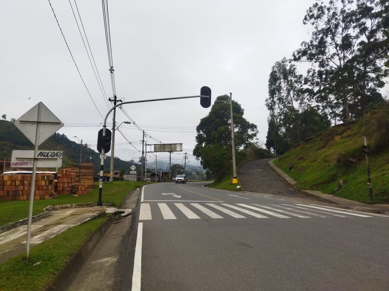
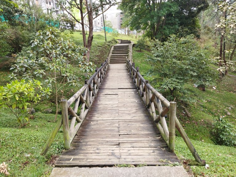
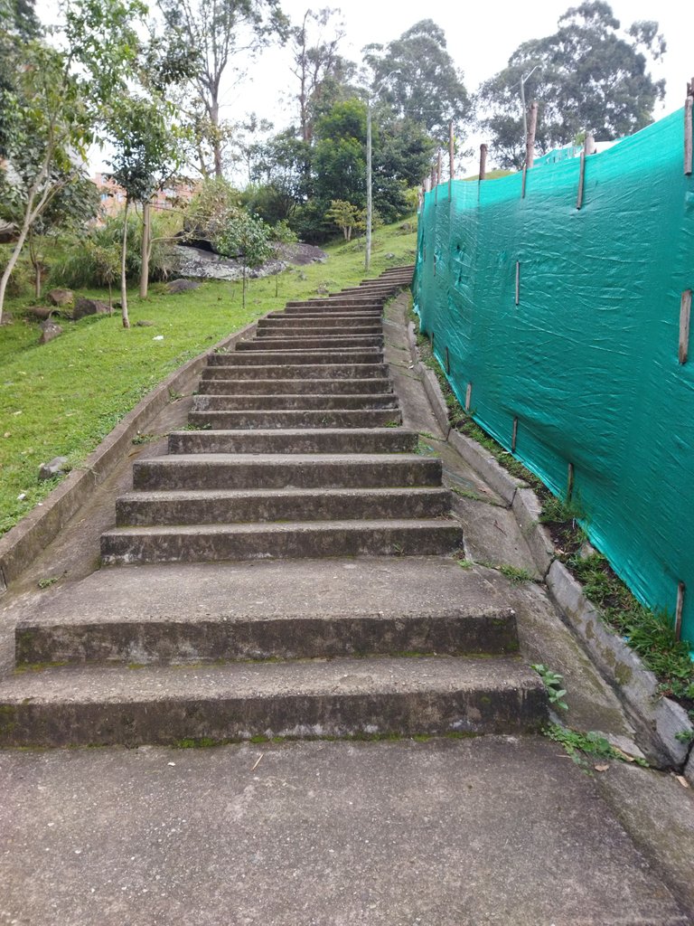
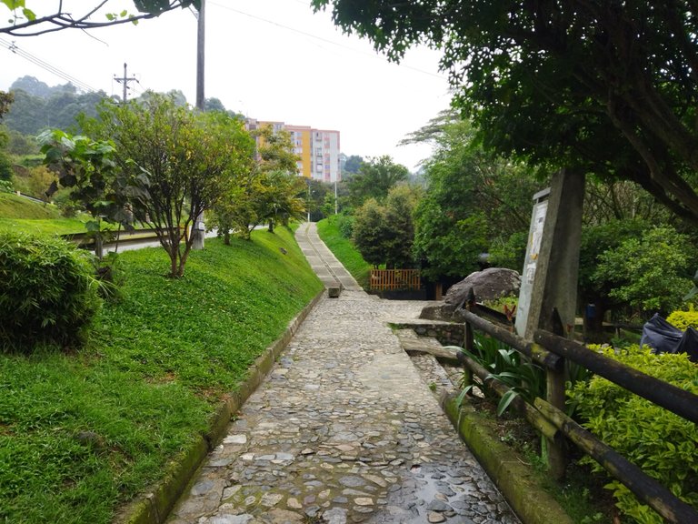
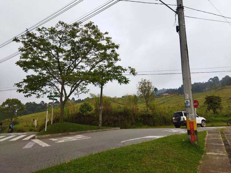
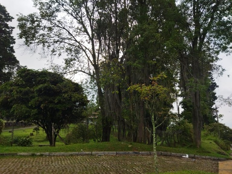
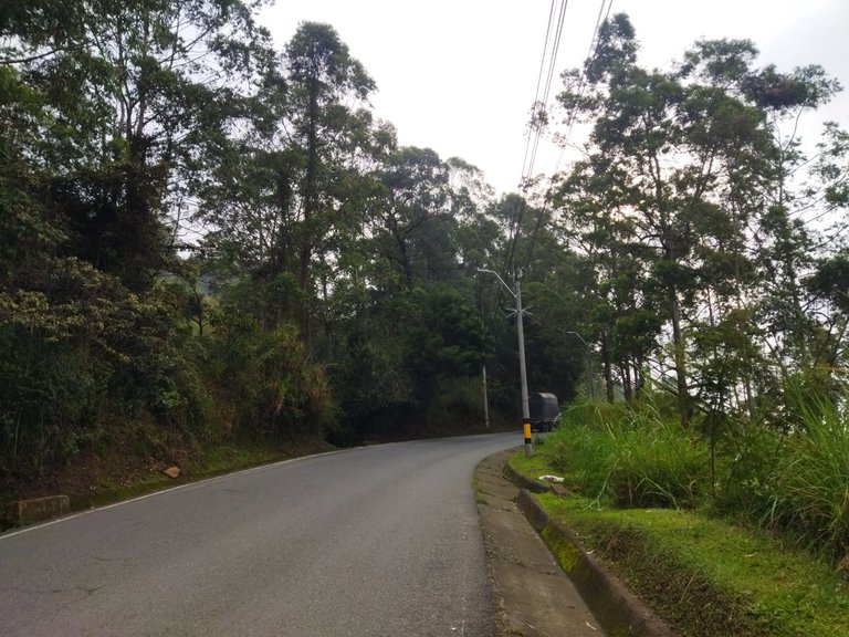
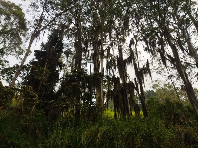
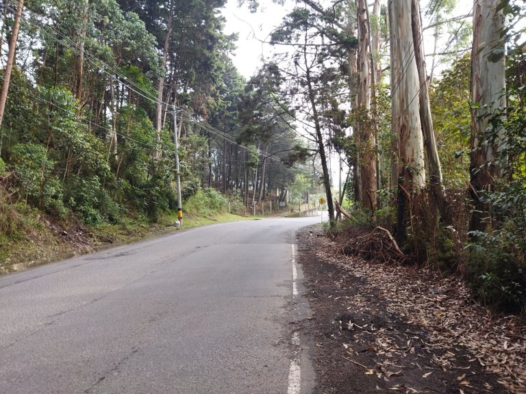
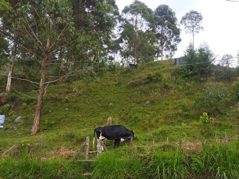
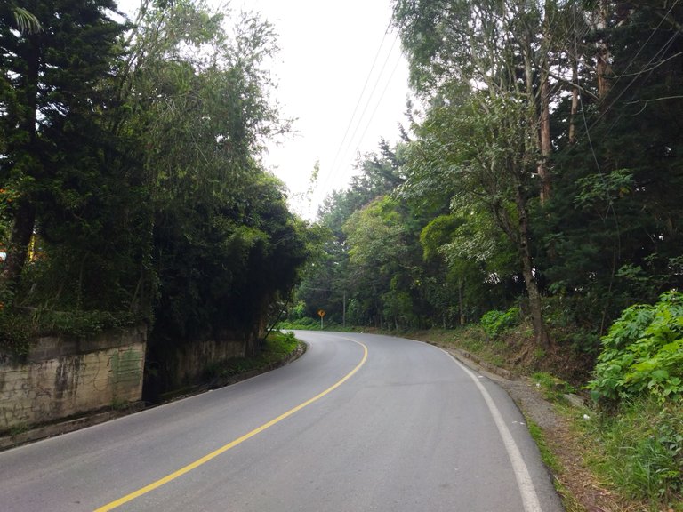
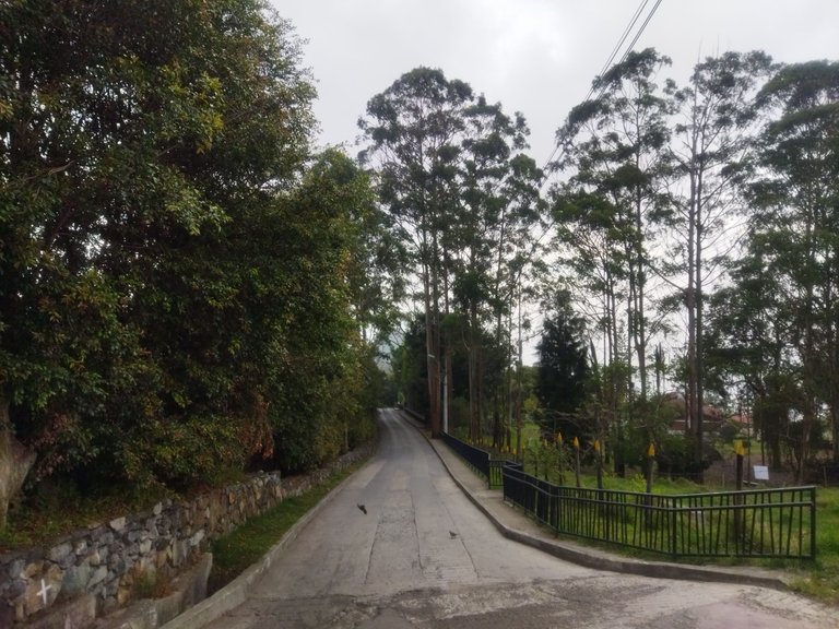
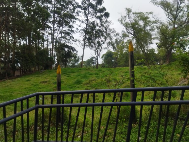
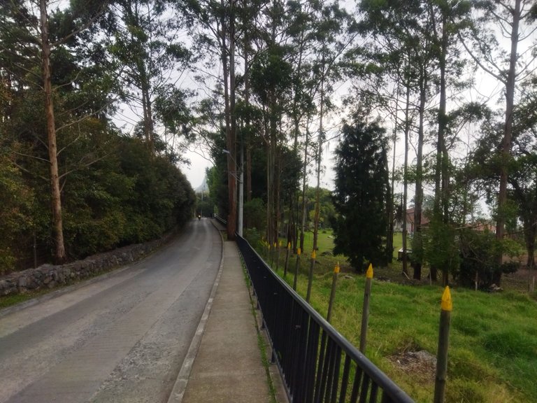
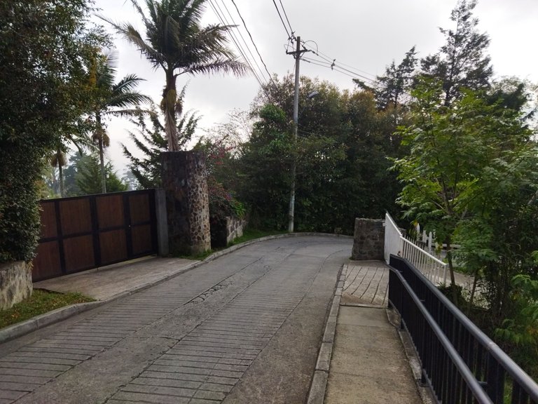
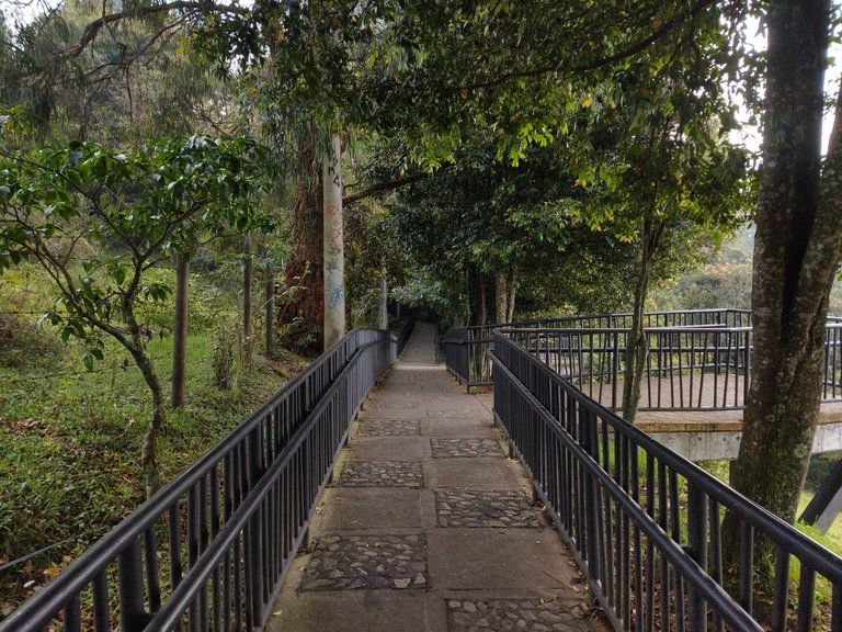
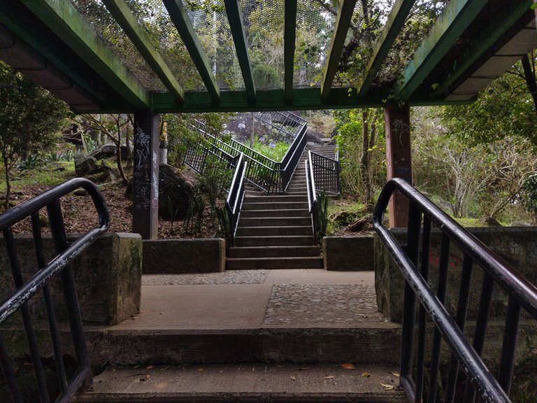
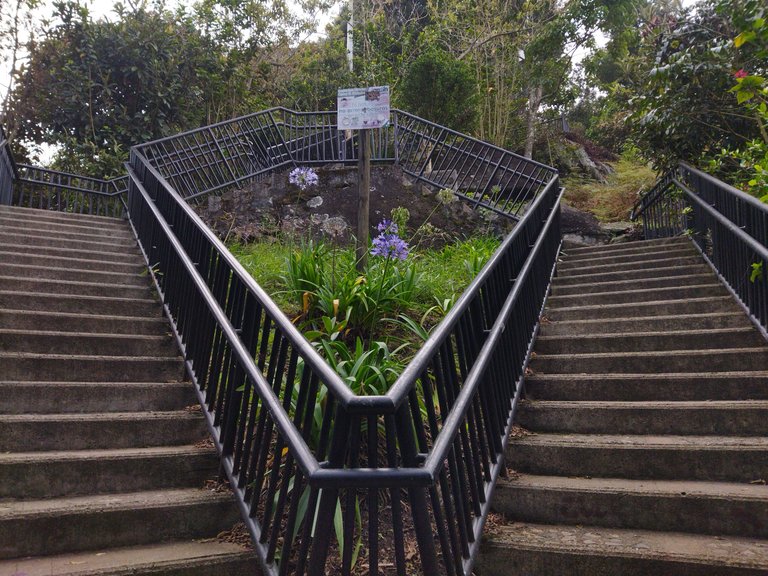
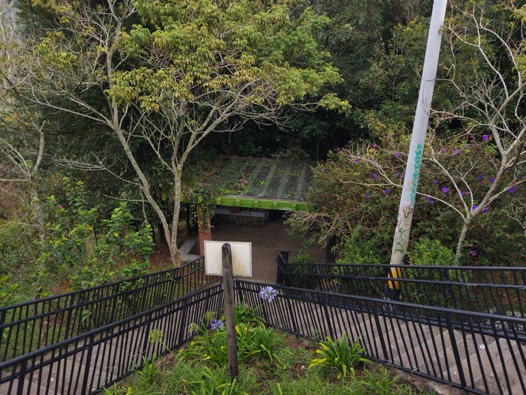
Having all the information I needed, I looked up the name on Google Maps and prepared the route for the next morning to leave at 6am for my excursion. The distance was 8km that I had to walk at first, passing by bridges, stairs, urbanizations and walking uphill. It took me two hours, I had not done it for the goal, but for the road. I have not been here long and I had not dared to venture into the city and its surroundings, until now. I did jog back, and I'm impressed that I've been able to resist so much despite not having done it for a long time. It was a great adventure and I was able to take some photos that you can see for yourselves.
Teniendo ya toda la información que necesitaba, busque el nombre en el Google Maps y preparé la ruta para la mañana siguiente salir a las 6am a mi excursión. La distancia eran de 8km que tuve que recorrer al principio caminando, pasando por puentes, escaleras, urbanizaciones y caminar cuesta arriba. Tardé dos horas, no lo había hecho por la meta, si no por el camino. Llevo poco tiempo acá y no me había atrevido a aventurarme por la ciudad y sus adyacentes, hasta ahora. Al devolverme si lo hice trotando, y estoy impresionado haber resistido tanto a pesar de llevar mucho tiempo sin hacerlo. Fue una gran aventura y pude sacar algunas fotos que ustedes mismos podrán apreciar.
The rewards earned on this comment will go directly to the people( @aplusd ) sharing the post on Twitter as long as they are registered with @poshtoken. Sign up at https://hiveposh.com.
Impresionante las fotos que publicaste y no conocías ese cerro por referencia alguna, cuando vaya a Medellín vas a tener que hacer de guía turístico jijiji
Ya me he movido bastante por la ciudad solamente con el Google Maps, no pensé que podría perderme. Solo era cuestión de poner la ubicación y caminar