White Mountain National Forest, NH
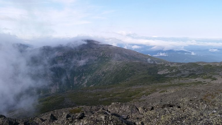
Ridge from Jefferson to Washington
Presidential Range
The Presidential Range is a section of the White Mountains and includes the following major peaks:
- Mt. Madison
- Mt. Adams
- Mt. Jeferson
- Mt. Washington
- Mt. Monroe
- Mt. Eisenhower
- Mt. Pierce
The trail distance from Madison to Pierce is roughly 20 miles. There are a few smaller, less notable, peaks in between these specific mountains.
Presidential Traverse
The 'Presidential Traverse' is the hike in which all main 8 mountains (listed above) are peaked. Many people (such as myself) aim to do this in one day. The trail naturally covers the smaller peaks in between as well.
My Hike
My party parked one car at the base of Mt. Pierce and slept in the Mt. Madison parking lot the night before we planned to hike. As it is 20 miles, we started the day at 4:50am.
Morning
We hiked the trail up to the Mt. Madison hut, peaked Mt. Madison, and returned to the hut for a snack, bathroom break, and water bottle refill. Then, continued along the ridge past Star Lake to Adams, Jefferson, and Washington.
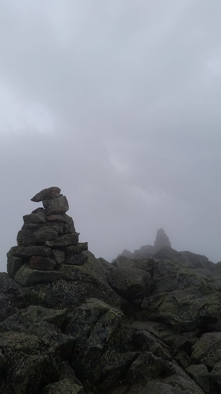
Adams
Peak elevation increased from Madison to Adams, to Jefferson, and to Washington. Washington is the highest peak in the Whites. It has a weather station, a large lodge, a railway, and even road. Here, we ate lunch and refilled water. After Washington, peak elevation decreased to Monroe (passing Lake of the Clouds), Eisenhower, and, finally, Pierce.
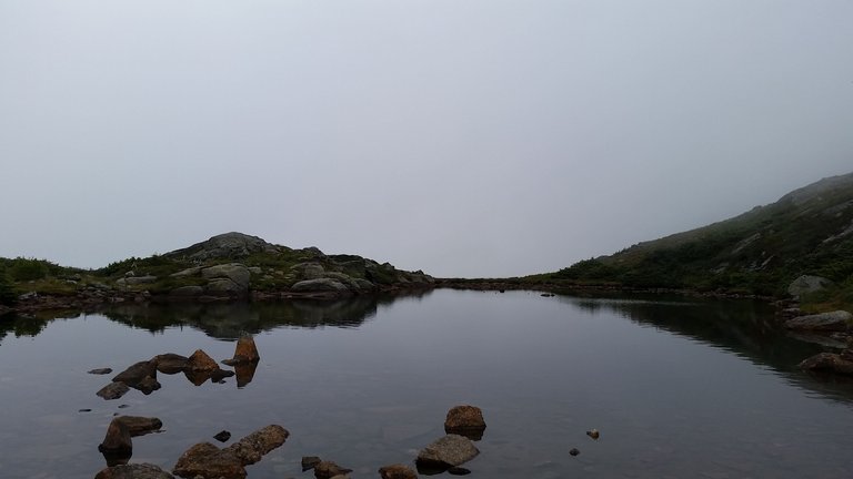
Lake of the Clouds
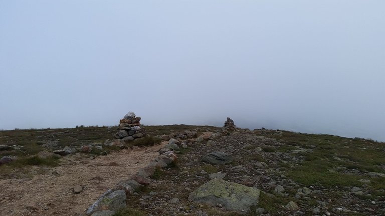
Eisenhower
After Pierce, we made our way down to the parking lot, where our car was waiting, and went home tired.
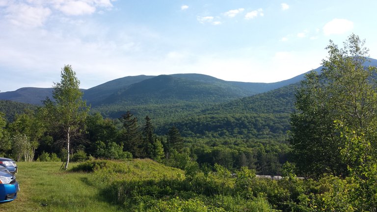
Parking lot
I'm following back and I'm sharing the content of followers organically. My account for following back is: @followback
Takibe Geri Takip Yapıyorum ve takip edenlerin içeriklerini, organik olarak paylaşıyorum. Geri Takip İçin Hesabım: @followback
Excelentes fotografias, y contenido interesante, que paisajes mas hermosos sigue asi.
Thank you!