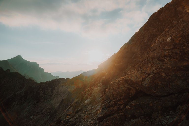
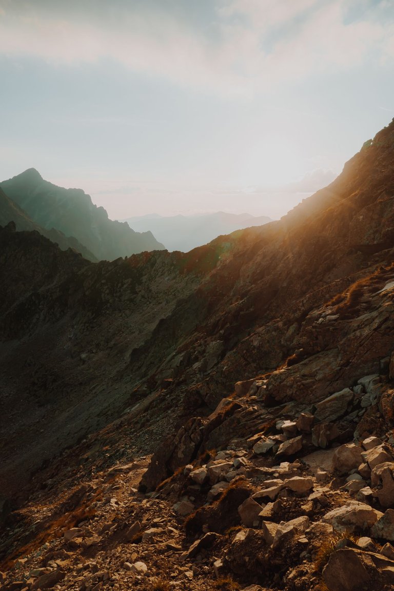
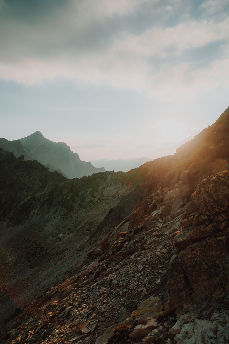
Bystra Ławka - a pass in the Slovak High Tatras located at an altitude of 2,315 m above sea level (according to previous measurement, 2,314 m), which is the lowest point of the ridge between Furkot (Furkotský štít) and Huge Solisko - the highest peak of the Soliska Ridge.
A yellow tourist trail has been running through the pass since 1993, from the Młynicka Valley to Furkotna. In the past, the trail led through Bystry Przechód, located approximately 200 m to the north-west - a plateau on the south-eastern ridge of Furkot, located directly below its summit dome. Many maps have one Bystry Przechód pass marked, while others have incorrect heights.
Bystra Ławka – przełęcz w słowackich Tatrach Wysokich położona na wysokości 2315 m n.p.m.(według wcześniejszego pomiaru 2314 m), będąca najniższym punktem grani pomiędzy Furkotem (Furkotský štít) a Wielkim Soliskiem – najwyższym szczytem Grani Soliska.
Przez przełęcz od 1993 r. prowadzi szlak turystyczny oznaczony kolorem żółtym z Doliny Młynickiej do Furkotnej. Dawniej szlak prowadził przez zlokalizowany około 200 m na północny zachód Bystry Przechód – wypłaszczenie w południowo-wschodniej grani Furkotu, położone bezpośrednio poniżej jego kopuły szczytowej. Na wielu mapach zaznaczona jest jedna przełęcz Bystry Przechód, na innych podane są błędne wysokości.
My photographic equipment:
Sony A6000 with Sony E 18-105
Dji Mini 2
Samsung S10e
You can find me on instagram:
Lifestyle, travels and photos
Pictures of people, commercial
Source of potential text plagiarism
Plagiarism is the copying & pasting of others' work without giving credit to the original author or artist. Plagiarized posts are considered fraud. Fraud is discouraged by the community and may result in the account being Blacklisted.
Guide: Why and How People Abuse and Plagiarise
If you believe this comment is in error, please contact us in #appeals in Discord.